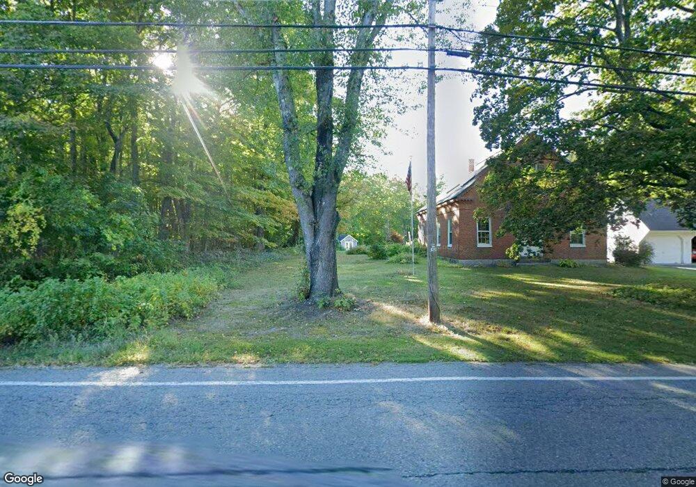
32 Parker Rd Shirley, MA 01464
Estimated Value: $508,951 - $563,000
3
Beds
2
Baths
1,469
Sq Ft
$372/Sq Ft
Est. Value
About This Home
This home is located at 32 Parker Rd, Shirley, MA 01464 and is currently estimated at $545,738, approximately $371 per square foot. 32 Parker Rd is a home located in Middlesex County with nearby schools including Page Hilltop School, Lura A. White Elementary School, and Ayer Shirley Regional Middle School.
Ownership History
Date
Name
Owned For
Owner Type
Purchase Details
Closed on
May 1, 1981
Bought by
Coates Scott L and Coates Sally A
Current Estimated Value
Create a Home Valuation Report for This Property
The Home Valuation Report is an in-depth analysis detailing your home's value as well as a comparison with similar homes in the area
Home Values in the Area
Average Home Value in this Area
Purchase History
| Date | Buyer | Sale Price | Title Company |
|---|---|---|---|
| Coates Scott L | -- | -- |
Source: Public Records
Mortgage History
| Date | Status | Borrower | Loan Amount |
|---|---|---|---|
| Open | Coates Scott L | $133,450 |
Source: Public Records
Tax History
| Year | Tax Paid | Tax Assessment Tax Assessment Total Assessment is a certain percentage of the fair market value that is determined by local assessors to be the total taxable value of land and additions on the property. | Land | Improvement |
|---|---|---|---|---|
| 2025 | $59 | $457,900 | $136,800 | $321,100 |
| 2024 | $5,804 | $427,700 | $125,100 | $302,600 |
| 2023 | $5,485 | $386,800 | $125,100 | $261,700 |
| 2022 | $5,265 | $340,100 | $121,200 | $218,900 |
| 2021 | $5,100 | $308,500 | $109,400 | $199,100 |
| 2020 | $4,854 | $301,300 | $109,400 | $191,900 |
| 2019 | $4,758 | $295,900 | $109,400 | $186,500 |
| 2018 | $4,713 | $287,000 | $104,800 | $182,200 |
| 2017 | $4,612 | $279,200 | $101,600 | $177,600 |
| 2016 | $4,456 | $269,900 | $101,600 | $168,300 |
| 2015 | $4,563 | $263,600 | $100,100 | $163,500 |
Source: Public Records
Map
Nearby Homes
- Lot 5 Townsend Rd
- 11 Longley Rd Unit K8
- 11 Longley Rd Unit G3
- 22 Townsend Rd
- 24 Townsend Rd
- 43 Longley Rd
- 124 Hazen Rd
- 11 Longwood Dr
- 601 Flat Hill Rd
- 83 Clark Rd Unit 1
- 83 Clark Rd Unit L-19
- 12 Cortland Cir Unit 12
- 11 Ambrose Way Unit 9
- 43 Ambrose Way Unit 43
- 10 Ambrose Way Unit 10
- 31 Ambrose Way Unit 31
- 34 Ambrose Way Unit 34
- 12 Ambrose Way Unit 12
- 6 Ambrose Way Unit 3
- 2 Ambrose Way Unit 2
- 34 Parker Rd
- 30 Parker Rd
- lot Parker Rd
- 31 Parker Rd
- 35 Parker Rd
- 38 Parker Rd
- 26 Parker Rd
- 39 Parker Rd
- 42 Parker Rd
- 36 Little Turnpike Rd
- 38 Little Turnpike Rd
- 27 Little Turnpike Rd
- 23 Parker Rd
- Lot 0 Little Turnpike Rd
- 61A (Right Little Turnpike Rd Unit Right
- 61B (Left) Little Turnpike Rd Unit Left
- 22 Parker Rd
- 35 Little Turnpike Rd
- 32 Little Turnpike Rd
- 41 Parker Rd
Your Personal Tour Guide
Ask me questions while you tour the home.