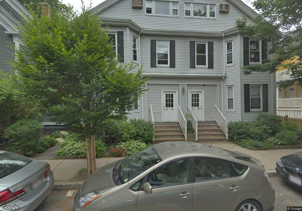
32 Parker St Unit 6 Cambridge, MA 02138
West Cambridge NeighborhoodEstimated Value: $451,000 - $611,000
1
Bed
1
Bath
440
Sq Ft
$1,203/Sq Ft
Est. Value
About This Home
This home is located at 32 Parker St Unit 6, Cambridge, MA 02138 and is currently estimated at $529,337, approximately $1,203 per square foot. 32 Parker St Unit 6 is a home located in Middlesex County with nearby schools including St Peter School, Cambridge Montessori School, and Cambridge Friends School.
Ownership History
Date
Name
Owned For
Owner Type
Purchase Details
Closed on
Jun 28, 2021
Sold by
Devore Nancy S Est and Devore
Bought by
Power Kirsten E
Current Estimated Value
Home Financials for this Owner
Home Financials are based on the most recent Mortgage that was taken out on this home.
Original Mortgage
$343,200
Outstanding Balance
$311,401
Interest Rate
2.9%
Mortgage Type
Purchase Money Mortgage
Estimated Equity
$217,936
Create a Home Valuation Report for This Property
The Home Valuation Report is an in-depth analysis detailing your home's value as well as a comparison with similar homes in the area
Home Values in the Area
Average Home Value in this Area
Purchase History
| Date | Buyer | Sale Price | Title Company |
|---|---|---|---|
| Power Kirsten E | $429,000 | None Available |
Source: Public Records
Mortgage History
| Date | Status | Borrower | Loan Amount |
|---|---|---|---|
| Open | Power Kirsten E | $343,200 |
Source: Public Records
Tax History Compared to Growth
Tax History
| Year | Tax Paid | Tax Assessment Tax Assessment Total Assessment is a certain percentage of the fair market value that is determined by local assessors to be the total taxable value of land and additions on the property. | Land | Improvement |
|---|---|---|---|---|
| 2025 | $2,831 | $445,900 | $0 | $445,900 |
| 2024 | $2,489 | $420,400 | $0 | $420,400 |
| 2023 | $2,627 | $448,300 | $0 | $448,300 |
| 2022 | $2,645 | $446,800 | $0 | $446,800 |
| 2021 | $2,589 | $442,600 | $0 | $442,600 |
| 2020 | $2,429 | $422,400 | $0 | $422,400 |
| 2019 | $2,325 | $391,400 | $0 | $391,400 |
| 2018 | $2,305 | $358,700 | $0 | $358,700 |
| 2017 | $2,184 | $336,500 | $0 | $336,500 |
| 2016 | $2,066 | $295,500 | $0 | $295,500 |
| 2015 | $2,042 | $261,100 | $0 | $261,100 |
| 2014 | $2,008 | $239,600 | $0 | $239,600 |
Source: Public Records
Map
Nearby Homes
- 3 Berkeley Place
- 52 Garden St Unit B2
- 202 Garden St
- 22 Concord Ave Unit 10
- 44 Garden St
- 12 Berkeley St
- 8 Holly Ave Unit 1
- 84 Garden St
- 12-14 Gray Gardens W
- 148 Huron Ave
- 15 Hubbard Park Rd
- 153 Brattle St
- 48 Hubbard Park Rd
- 234 Huron Ave
- 69A Walker St Unit A
- 14 Chauncy St Unit 4
- 20 Maynard Place
- 158 Brattle St
- 32 Hawthorn St
- 43 Linnaean St Unit 42
- 34 Parker St Unit 4
- 34 Parker St Unit 5
- 36 Parker St
- 32 Parker St
- 32 Parker St
- 32 Parker St
- 34 Parker St
- 32 Parker St
- 36 Parker St
- 34 Parker St
- 32 Parker St
- 36 Parker St Unit 7,36
- 36 Parker St Unit 7
- 36 Parker St Unit 8
- 34 Parker St Unit 3
- 32 Parker St Unit 1
- 32 Parker St Unit 2
- 36 Parker St Unit 9
- 34 Parker St Unit 6
- 36 Parker St Unit 10