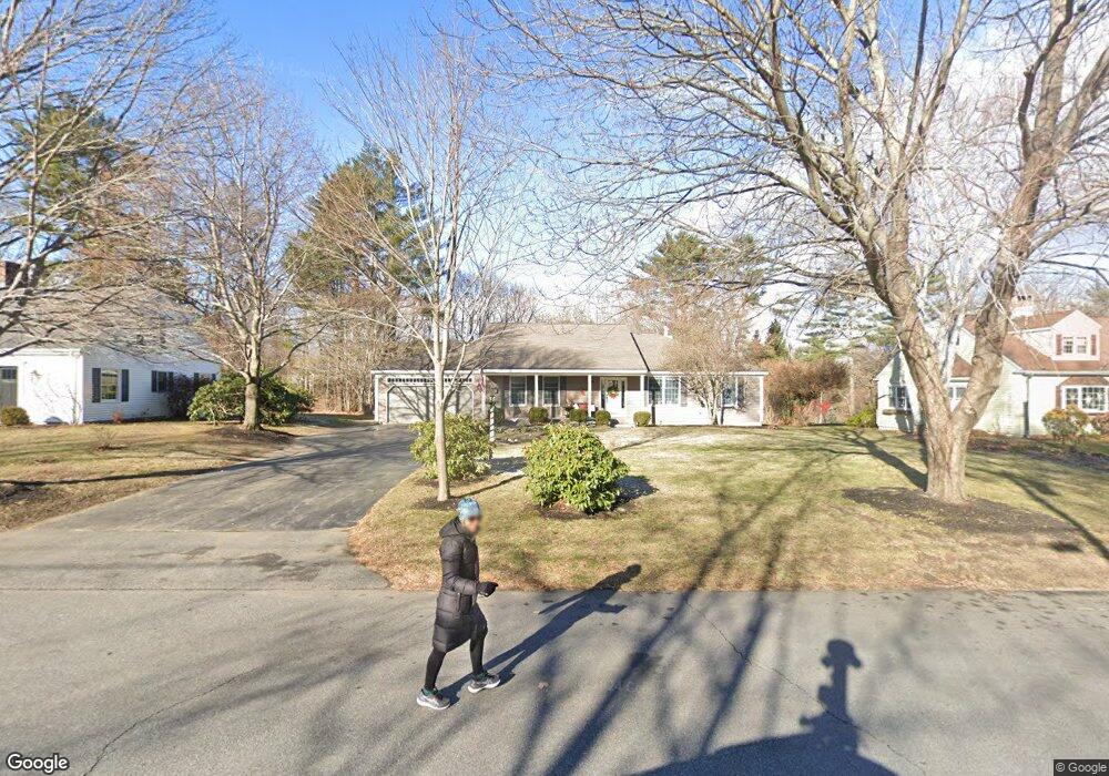
32 Penrith Rd Portland, ME 04102
Stroudwater NeighborhoodEstimated Value: $665,000 - $962,000
3
Beds
3
Baths
3,405
Sq Ft
$237/Sq Ft
Est. Value
About This Home
This home is located at 32 Penrith Rd, Portland, ME 04102 and is currently estimated at $806,361, approximately $236 per square foot. 32 Penrith Rd is a home located in Cumberland County with nearby schools including Amanda C Rowe School, King Middle School, and Levey Day School.
Ownership History
Date
Name
Owned For
Owner Type
Purchase Details
Closed on
Apr 22, 2008
Sold by
Bove Louis G and Bove Patricia A
Bought by
Cote Gary L and Cote Elizabeth
Current Estimated Value
Home Financials for this Owner
Home Financials are based on the most recent Mortgage that was taken out on this home.
Original Mortgage
$330,000
Outstanding Balance
$210,455
Interest Rate
6.1%
Mortgage Type
Unknown
Estimated Equity
$595,906
Create a Home Valuation Report for This Property
The Home Valuation Report is an in-depth analysis detailing your home's value as well as a comparison with similar homes in the area
Home Values in the Area
Average Home Value in this Area
Purchase History
| Date | Buyer | Sale Price | Title Company |
|---|---|---|---|
| Cote Gary L | -- | -- |
Source: Public Records
Mortgage History
| Date | Status | Borrower | Loan Amount |
|---|---|---|---|
| Open | Cote Gary L | $330,000 |
Source: Public Records
Tax History Compared to Growth
Tax History
| Year | Tax Paid | Tax Assessment Tax Assessment Total Assessment is a certain percentage of the fair market value that is determined by local assessors to be the total taxable value of land and additions on the property. | Land | Improvement |
|---|---|---|---|---|
| 2024 | $8,520 | $567,600 | $90,600 | $477,000 |
| 2023 | $8,179 | $567,600 | $90,600 | $477,000 |
| 2022 | $7,725 | $567,600 | $90,600 | $477,000 |
| 2021 | $7,373 | $567,600 | $90,600 | $477,000 |
| 2020 | $7,084 | $303,900 | $85,600 | $218,300 |
| 2019 | $7,084 | $303,900 | $85,600 | $218,300 |
| 2018 | $6,832 | $303,900 | $85,600 | $218,300 |
| 2017 | $6,579 | $303,900 | $85,600 | $218,300 |
| 2016 | $6,415 | $303,900 | $85,600 | $218,300 |
| 2015 | $6,269 | $303,900 | $85,600 | $218,300 |
| 2014 | $6,078 | $303,900 | $85,600 | $218,300 |
Source: Public Records
Map
Nearby Homes
- 1346 Westbrook St
- 2 Firefly St Unit 303
- 1549 Westbrook St
- 1 Firefly St Unit 402
- 1 Firefly St Unit 201
- 1 Firefly St Unit 303
- 1 Firefly St Unit 302
- 1 Firefly St Unit 403/103
- 1 Firefly St Unit 301
- 1 Firefly St Unit 401
- 1 Firefly St Unit 403
- 1 Firefly St Unit 202
- 16 Black Sparrow Dr
- 63A Capisic St
- 89 Cobb Ave
- 1542 Congress St
- 159 Bancroft St
- 155 Owls Nest Rd
- 149 Owls Nest Rd
- 0 Hillcrest Ave
- 42 Penrith Rd
- 20 Penrith Rd
- 21 Roundabout Ln
- 48 Penrith Rd
- 35 Roundabout Ln
- 35 Penrith Rd
- 25 Penrith Rd
- 45 Penrith Rd
- 12 Penrith Rd
- 54 Penrith Rd
- 15 Roundabout Ln
- 1393 Westbrook St
- 47 Roundabout Ln
- 55 Penrith Rd
- 1405 Westbrook St
- 28 Roundabout Ln
- 1413 Westbrook St
- 1375 Westbrook St
- 25 Stroudwater Rd
- 54 Roundabout Ln