32 Pettit Rd Jasper, GA 30143
Estimated Value: $666,288 - $826,000
3
Beds
3
Baths
2,602
Sq Ft
$280/Sq Ft
Est. Value
About This Home
This home is located at 32 Pettit Rd, Jasper, GA 30143 and is currently estimated at $727,572, approximately $279 per square foot. 32 Pettit Rd is a home located in Dawson County with nearby schools including Robinson Elementary School, Dawson County Junior High School, and Dawson County Middle School.
Ownership History
Date
Name
Owned For
Owner Type
Purchase Details
Closed on
Jun 5, 2015
Sold by
Ellerbe William R
Bought by
Faufau James F and Guest Michelle C
Current Estimated Value
Home Financials for this Owner
Home Financials are based on the most recent Mortgage that was taken out on this home.
Original Mortgage
$138,250
Outstanding Balance
$52,724
Interest Rate
3.88%
Mortgage Type
New Conventional
Estimated Equity
$674,848
Purchase Details
Closed on
May 4, 1987
Sold by
Cousins Thomas G
Bought by
Ellerbe William R
Purchase Details
Closed on
Jan 18, 1983
Sold by
Thomas William A and Thomas H
Bought by
Cousins Thomas G
Purchase Details
Closed on
Dec 2, 1976
Bought by
Thomas William A and Thomas H
Create a Home Valuation Report for This Property
The Home Valuation Report is an in-depth analysis detailing your home's value as well as a comparison with similar homes in the area
Home Values in the Area
Average Home Value in this Area
Purchase History
| Date | Buyer | Sale Price | Title Company |
|---|---|---|---|
| Faufau James F | $300,000 | -- | |
| Ellerbe William R | $225,000 | -- | |
| Cousins Thomas G | $200,000 | -- | |
| Thomas William A | $26,000 | -- |
Source: Public Records
Mortgage History
| Date | Status | Borrower | Loan Amount |
|---|---|---|---|
| Open | Faufau James F | $138,250 |
Source: Public Records
Tax History Compared to Growth
Tax History
| Year | Tax Paid | Tax Assessment Tax Assessment Total Assessment is a certain percentage of the fair market value that is determined by local assessors to be the total taxable value of land and additions on the property. | Land | Improvement |
|---|---|---|---|---|
| 2024 | $3,995 | $247,640 | $75,000 | $172,640 |
| 2023 | $4,027 | $254,280 | $75,000 | $179,280 |
| 2022 | $4,066 | $189,784 | $70,000 | $119,784 |
| 2021 | $3,920 | $173,264 | $70,000 | $103,264 |
| 2020 | $4,407 | $186,240 | $95,128 | $91,112 |
| 2019 | $4,445 | $186,240 | $95,128 | $91,112 |
| 2018 | $4,115 | $202,424 | $100,800 | $101,624 |
| 2017 | $3,790 | $158,481 | $60,000 | $98,481 |
| 2016 | $2,870 | $156,909 | $60,000 | $96,909 |
| 2015 | $1,689 | $149,574 | $60,000 | $89,574 |
| 2014 | $1,502 | $141,350 | $60,000 | $81,350 |
| 2013 | -- | $137,224 | $60,000 | $77,224 |
Source: Public Records
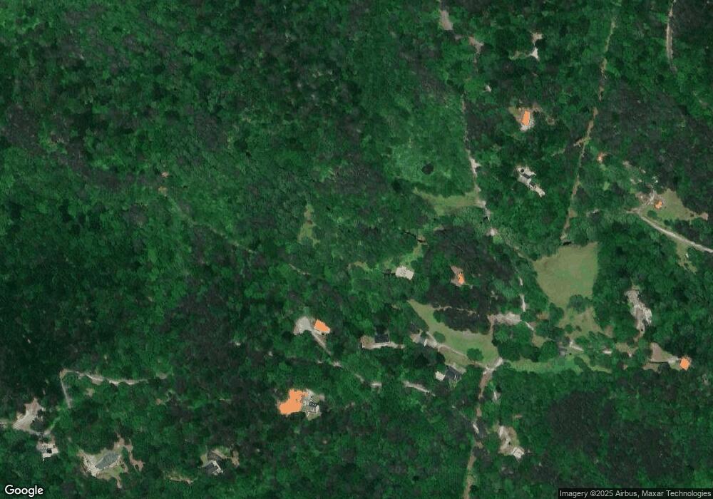
Map
Nearby Homes
- 255 Woodland Trace
- 118 Soaring Hawk Cir
- 220 Wake Robin Dr
- 100 Indian Pipe Dr
- 6 Crazy Bear Ridge
- 369 Indian Pipe Dr
- 47 Bellflower Dr
- 121 Laughing Fox Knoll
- 85 Sleeping Fawn Knoll
- 37 Petit Ridge Dr
- 826 Woodland Trace
- 15 Gentle Dove Walk
- 315 Windflower Dr
- 52 Fallen Deer Path
- 40 Sanderlin Mountain Dr
- 1121 Woodland Trace
- 1115 Wild Turkey Bluff
- 71 Yellow Root Dr
- 40 Sanderlin Mountain Dr
- 263 Wake Robin Dr
- 34 Pettit Rd
- 127 Lone Wolf Trail
- 233 Lone Wolf Trail
- 183 Lone Wolf Trail Unit 4077
- 62 Lone Wolf Dr
- 52 Lone Wolf Dr
- 183 Lone Wolf Trail
- 4086 Lone Wolf Trail
- 140 Lone Wolf Trail
- 1256 Petit Ridge Dr
- 1256 Petit Ridge Dr Unit 32
- 1394 Petit Ridge Dr
- 1394 Petit Ridge Dr Unit 33
- 0 Lone Wolf Trail Unit 8086954
- 0 Lone Wolf Trail Unit 8053100
- 0 Lone Wolf Trail Unit 7398143
- 38 Lone Wolf Trail Unit 4087
- 38 Lone Wolf Trail
- 265 Lone Wolf Trail
- 41 Lone Wolf Trail