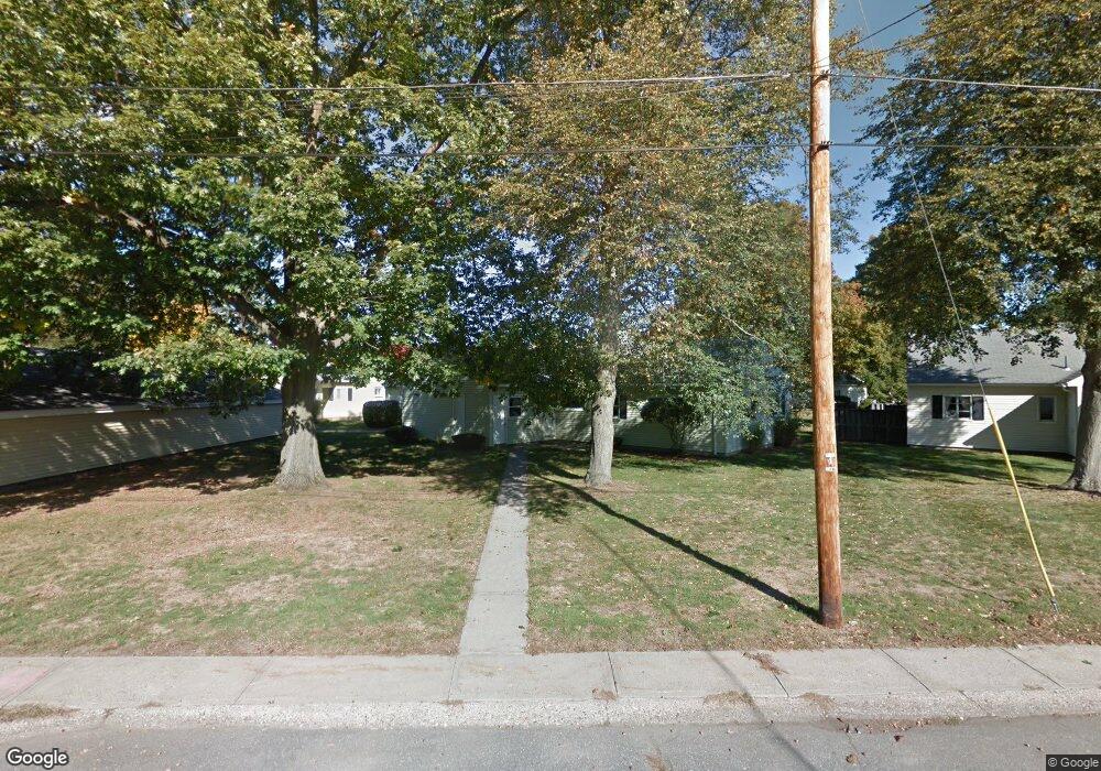
32 Pheasant Way Chicopee, MA 01022
Fairview NeighborhoodEstimated Value: $238,000 - $280,000
2
Beds
2
Baths
1,170
Sq Ft
$215/Sq Ft
Est. Value
About This Home
This home is located at 32 Pheasant Way, Chicopee, MA 01022 and is currently estimated at $251,554, approximately $215 per square foot. 32 Pheasant Way is a home located in Hampden County with nearby schools including Bowie Elementary School, Fairview Middle School, and Chicopee Comprehensive High School.
Ownership History
Date
Name
Owned For
Owner Type
Purchase Details
Closed on
Aug 5, 2021
Sold by
Psholka Arthur A and Psholka Patricia W
Bought by
Psholka Ft 2017 and Psholka
Current Estimated Value
Purchase Details
Closed on
Aug 11, 1994
Sold by
Chapdelaine Florian L and Chapdelaine Mildred M
Bought by
Psholka Arthur A and Psholka Patricia W
Home Financials for this Owner
Home Financials are based on the most recent Mortgage that was taken out on this home.
Original Mortgage
$58,000
Interest Rate
8.52%
Mortgage Type
Purchase Money Mortgage
Purchase Details
Closed on
Nov 17, 1992
Sold by
Wingard Milo G
Bought by
Chapdelaine Florian L and Chapdelaine Mildred
Create a Home Valuation Report for This Property
The Home Valuation Report is an in-depth analysis detailing your home's value as well as a comparison with similar homes in the area
Home Values in the Area
Average Home Value in this Area
Purchase History
| Date | Buyer | Sale Price | Title Company |
|---|---|---|---|
| Psholka Ft 2017 | -- | None Available | |
| Psholka Ft 2017 | -- | None Available | |
| Psholka Arthur A | $73,000 | -- | |
| Psholka Arthur A | $73,000 | -- | |
| Chapdelaine Florian L | $72,000 | -- | |
| Chapdelaine Florian L | $72,000 | -- |
Source: Public Records
Mortgage History
| Date | Status | Borrower | Loan Amount |
|---|---|---|---|
| Previous Owner | Chapdelaine Florian L | $58,000 |
Source: Public Records
Tax History Compared to Growth
Tax History
| Year | Tax Paid | Tax Assessment Tax Assessment Total Assessment is a certain percentage of the fair market value that is determined by local assessors to be the total taxable value of land and additions on the property. | Land | Improvement |
|---|---|---|---|---|
| 2025 | $3,094 | $204,100 | $0 | $204,100 |
| 2024 | $2,775 | $188,000 | $0 | $188,000 |
| 2023 | $2,609 | $172,200 | $0 | $172,200 |
| 2022 | $2,455 | $144,500 | $0 | $144,500 |
| 2021 | $2,347 | $133,300 | $0 | $133,300 |
| 2020 | $2,097 | $120,100 | $0 | $120,100 |
| 2019 | $2,065 | $115,000 | $0 | $115,000 |
| 2018 | $2,014 | $110,000 | $0 | $110,000 |
| 2017 | $1,908 | $110,200 | $0 | $110,200 |
| 2016 | $1,889 | $111,700 | $0 | $111,700 |
| 2015 | $1,959 | $111,700 | $0 | $111,700 |
| 2014 | $980 | $111,700 | $0 | $111,700 |
Source: Public Records
Map
Nearby Homes
- 71 Greenwood Terrace
- 29 Meadowlark Ln
- 40 Greenwood Terrace
- 34 Deslauriers St
- 1640 Westover Rd
- 24 Festival Cir
- 111 Festival Cir
- 98 Greenpoint Cir
- 1601 Westover Rd
- 16 Collins St Unit 16
- 103 Collins St
- 81 Mccarthy Ave
- 97 Collins St
- 585 Sheridan St Unit 44
- 585 Sheridan St Unit 12
- 585 Sheridan St Unit 46
- 735 Memorial Dr Unit 40
- 103 Lauzier Terrace
- 1183 James St
- 82 Mitchell Dr
- 28 Pheasant Way
- 40 Pheasant Way
- 40 Pheasant Way Unit 40
- 24 Pheasant Way
- 22 Pheasant Way
- 14 Pheasant Way
- 25 Doverbrook Rd
- 27 Doverbrook Rd
- 38 Pheasant Way
- 65 Doverbrook Rd
- 67 Doverbrook Rd
- 12 Pheasant Way
- 899 Pendleton Ave
- 55 Applewood Dr
- 57 Applewood Dr
- 55 Applewood Dr
- 55 Applewood Dr Unit 55
- 35 Doverbrook Rd
- 43 Doverbrook Rd
- 45 Doverbrook Rd