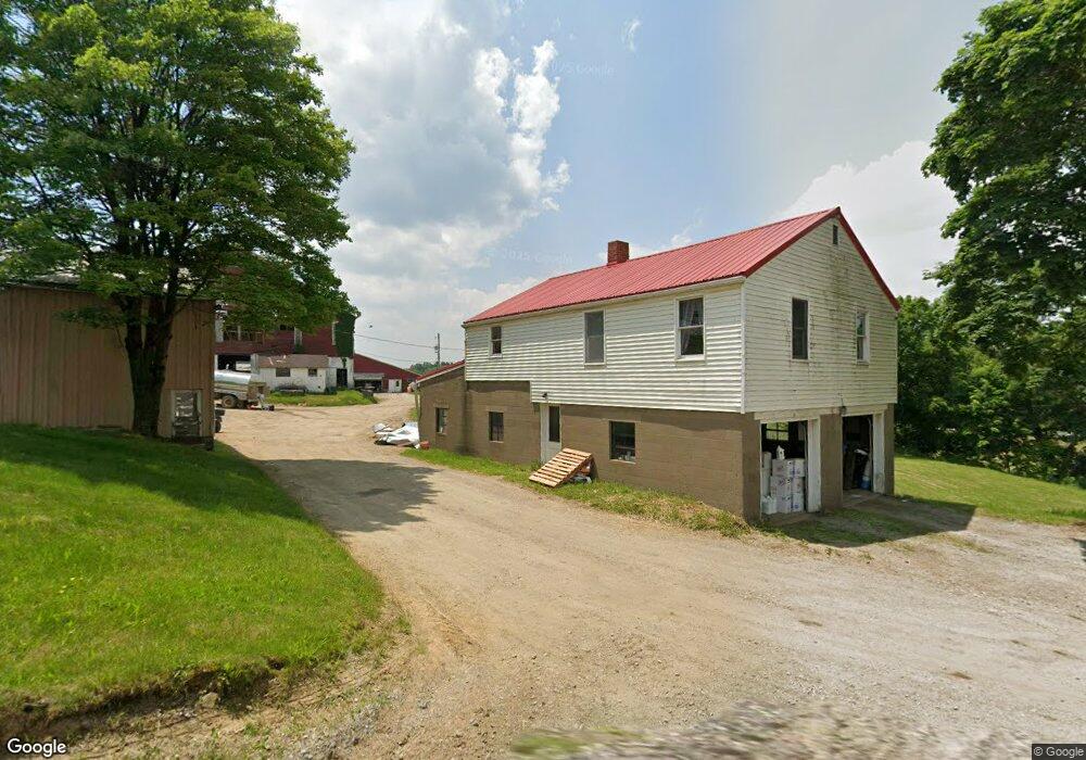
32 Pierce Rd Homer City, PA 15748
Estimated Value: $125,045 - $214,000
3
Beds
2
Baths
1,792
Sq Ft
$87/Sq Ft
Est. Value
About This Home
This home is located at 32 Pierce Rd, Homer City, PA 15748 and is currently estimated at $156,348, approximately $87 per square foot. 32 Pierce Rd is a home located in Indiana County with nearby schools including Homer-Center Elementary School, Homer-Center Junior/Senior High School, and Aultman Baptist Church Academy.
Ownership History
Date
Name
Owned For
Owner Type
Purchase Details
Closed on
Jun 25, 2020
Sold by
Hewitt Earl E and Hewitt Susan M
Bought by
Global Star Development Llc
Current Estimated Value
Purchase Details
Closed on
Sep 11, 2017
Sold by
Gladys Jean Risinger
Bought by
Hewitt Earl and Hewitt Susan
Home Financials for this Owner
Home Financials are based on the most recent Mortgage that was taken out on this home.
Original Mortgage
$86,000
Interest Rate
3.78%
Create a Home Valuation Report for This Property
The Home Valuation Report is an in-depth analysis detailing your home's value as well as a comparison with similar homes in the area
Home Values in the Area
Average Home Value in this Area
Purchase History
| Date | Buyer | Sale Price | Title Company |
|---|---|---|---|
| Global Star Development Llc | $90,000 | None Available | |
| Hewitt Earl | $86,000 | -- |
Source: Public Records
Mortgage History
| Date | Status | Borrower | Loan Amount |
|---|---|---|---|
| Previous Owner | Hewitt Earl | $86,000 | |
| Previous Owner | Hewitt Earl | -- |
Source: Public Records
Tax History Compared to Growth
Tax History
| Year | Tax Paid | Tax Assessment Tax Assessment Total Assessment is a certain percentage of the fair market value that is determined by local assessors to be the total taxable value of land and additions on the property. | Land | Improvement |
|---|---|---|---|---|
| 2025 | $652 | $28,800 | $28,800 | $0 |
| 2024 | $616 | $28,800 | $28,800 | $0 |
| 2023 | $584 | $28,800 | $28,800 | $0 |
| 2022 | $584 | $28,800 | $28,800 | $0 |
| 2021 | $728 | $35,900 | $33,800 | $2,100 |
| 2020 | $1,703 | $86,000 | $33,800 | $52,200 |
| 2018 | $1,703 | $86,000 | $33,800 | $52,200 |
| 2017 | $1,778 | $86,000 | $33,800 | $52,200 |
| 2016 | -- | $86,000 | $33,800 | $52,200 |
| 2015 | -- | $10,630 | $4,140 | $6,490 |
| 2014 | -- | $10,630 | $4,140 | $6,490 |
Source: Public Records
Map
Nearby Homes
- 466 Walker Dr
- 564 Henry Rd
- 5454 Old Route 56 Hwy W
- 173 Anthony Rd
- 795 John Georges Rd Unit Shelocta
- 1278 Rigley Rd
- 4321 Route 286 Hwy W
- 1921 Mcintyre Rd
- 30 Klimkos Rd
- 28 Railroad Ave
- 143 Syntron Dr
- 29 W Elm St
- 201 Courtland Rd
- 214 S Main St
- 1418 Willow Rd
- 00 White Oak Rd
- 250 Yellowcreek St
- 42 Ridge Ave
- 79 Ridge Ave
- 223 Meade St
- 3 Pierce Rd
- 4 Pierce Rd
- 1 Pierce Rd
- 265 Pierce Rd
- 19 Black Ln
- 117 Black Ln
- 117 Black Ln
- 596 Bethel Church Rd
- 1461 Ream Rd
- 506 Bethel Church Rd
- 1173 Ream Rd
- 1129 Ream Rd
- 251 Turkey Ln
- 1186 Ream Rd
- 486 Bethel Church Rd
- 25 Nehrig Rd
- 1242 Fabin Rd
- 231 Bethel Church Rd
- 231 Bethel Church Rd
- 231 Bethel Church Rd