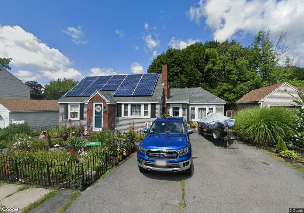
32 Pinewood Rd Methuen, MA 01844
The East End NeighborhoodEstimated Value: $504,000 - $563,130
3
Beds
1
Bath
1,800
Sq Ft
$295/Sq Ft
Est. Value
About This Home
This home is located at 32 Pinewood Rd, Methuen, MA 01844 and is currently estimated at $531,283, approximately $295 per square foot. 32 Pinewood Rd is a home located in Essex County with nearby schools including Timony Grammar School, Methuen High School, and Saint Monica School.
Ownership History
Date
Name
Owned For
Owner Type
Purchase Details
Closed on
Jun 26, 1998
Sold by
Rapazzo Sandra L
Bought by
Bourque Leon G
Current Estimated Value
Home Financials for this Owner
Home Financials are based on the most recent Mortgage that was taken out on this home.
Original Mortgage
$117,587
Interest Rate
7.09%
Mortgage Type
Purchase Money Mortgage
Purchase Details
Closed on
May 4, 1998
Sold by
Rapazzo Sandra
Bought by
Rapazzo Joseph V
Home Financials for this Owner
Home Financials are based on the most recent Mortgage that was taken out on this home.
Original Mortgage
$117,587
Interest Rate
7.09%
Mortgage Type
Purchase Money Mortgage
Create a Home Valuation Report for This Property
The Home Valuation Report is an in-depth analysis detailing your home's value as well as a comparison with similar homes in the area
Home Values in the Area
Average Home Value in this Area
Purchase History
| Date | Buyer | Sale Price | Title Company |
|---|---|---|---|
| Bourque Leon G | $117,900 | -- | |
| Bourque Leon G | $117,900 | -- | |
| Rapazzo Joseph V | $23,500 | -- | |
| Rapazzo Joseph V | $23,500 | -- |
Source: Public Records
Mortgage History
| Date | Status | Borrower | Loan Amount |
|---|---|---|---|
| Open | Rapazzo Joseph V | $117,090 | |
| Closed | Rapazzo Joseph V | $117,587 |
Source: Public Records
Tax History Compared to Growth
Tax History
| Year | Tax Paid | Tax Assessment Tax Assessment Total Assessment is a certain percentage of the fair market value that is determined by local assessors to be the total taxable value of land and additions on the property. | Land | Improvement |
|---|---|---|---|---|
| 2025 | $4,867 | $460,000 | $192,100 | $267,900 |
| 2024 | $4,546 | $418,600 | $172,300 | $246,300 |
| 2023 | $4,235 | $362,000 | $152,400 | $209,600 |
| 2022 | $3,884 | $297,600 | $119,300 | $178,300 |
| 2021 | $3,672 | $278,400 | $112,600 | $165,800 |
| 2020 | $3,586 | $266,800 | $106,000 | $160,800 |
| 2019 | $3,472 | $244,700 | $99,400 | $145,300 |
| 2018 | $3,386 | $237,300 | $99,400 | $137,900 |
| 2017 | $3,159 | $215,600 | $92,700 | $122,900 |
| 2016 | $2,910 | $196,500 | $86,100 | $110,400 |
| 2015 | $2,565 | $175,700 | $71,600 | $104,100 |
Source: Public Records
Map
Nearby Homes
- 28-30 Tudor St
- 61 Tower St
- 74 Tower St
- 87 Oakside Ave
- 100-102 Phillips St
- 206-208 Willow St
- 15 Linda Ave
- 77-79 Sunset Ave
- 11-13 Brown St
- 141 Spruce St
- 47-49 Juniper St
- 169 Berkeley St
- 16 Ditson Place
- 70 Pleasant St
- 52 High St Unit 5
- 14 Buttonwood Dr
- 283 Broadway
- 49A&B Eutaw
- 57-59 Walnut St
- 26 Gage St
- 36 Pinewood Rd
- 28 Pinewood Rd
- 7 Beedle Terrace
- 5 Beedle Terrace
- 39 East St
- 41 East St
- 31 Pinewood Rd
- 24 Pinewood Rd
- 27 Pinewood Rd
- 33 Pinewood Rd
- 1 Beedle Terrace
- 123 Oakside Ave
- 35 East St
- 47-49 East St
- 47 East St Unit 49
- 6 Beedle Terrace
- 7 Brewster Terrace
- 11 Brewster Terrace
- 3 Brewster Terrace
- 119 Oakside Ave