32 Platts Hill Rd Newtown, CT 06470
Estimated Value: $898,000 - $1,146,000
3
Beds
4
Baths
2,733
Sq Ft
$359/Sq Ft
Est. Value
About This Home
This home is located at 32 Platts Hill Rd, Newtown, CT 06470 and is currently estimated at $980,188, approximately $358 per square foot. 32 Platts Hill Rd is a home located in Fairfield County with nearby schools including Middle Gate Elementary School, Reed Intermediate School, and Newtown Middle School.
Ownership History
Date
Name
Owned For
Owner Type
Purchase Details
Closed on
Aug 31, 2001
Sold by
Rawson Daniel B and Rawson Joan K
Bought by
Pomponio Robert A
Current Estimated Value
Home Financials for this Owner
Home Financials are based on the most recent Mortgage that was taken out on this home.
Original Mortgage
$157,500
Interest Rate
7.06%
Purchase Details
Closed on
May 30, 2000
Sold by
Sarenee Holding Llc
Bought by
Rawson David B and Rawson Joan K
Create a Home Valuation Report for This Property
The Home Valuation Report is an in-depth analysis detailing your home's value as well as a comparison with similar homes in the area
Home Values in the Area
Average Home Value in this Area
Purchase History
| Date | Buyer | Sale Price | Title Company |
|---|---|---|---|
| Pomponio Robert A | $210,000 | -- | |
| Pomponio Robert A | $210,000 | -- | |
| Rawson David B | $334,500 | -- | |
| Rawson David B | $334,500 | -- |
Source: Public Records
Mortgage History
| Date | Status | Borrower | Loan Amount |
|---|---|---|---|
| Open | Rawson David B | $390,000 | |
| Closed | Rawson David B | $157,500 |
Source: Public Records
Tax History Compared to Growth
Tax History
| Year | Tax Paid | Tax Assessment Tax Assessment Total Assessment is a certain percentage of the fair market value that is determined by local assessors to be the total taxable value of land and additions on the property. | Land | Improvement |
|---|---|---|---|---|
| 2025 | $15,491 | $539,010 | $169,390 | $369,620 |
| 2024 | $14,537 | $539,010 | $169,390 | $369,620 |
| 2023 | $14,144 | $539,010 | $169,390 | $369,620 |
| 2022 | $13,855 | $399,620 | $129,980 | $269,640 |
| 2021 | $13,847 | $399,620 | $129,980 | $269,640 |
| 2020 | $13,891 | $399,620 | $129,980 | $269,640 |
| 2019 | $13,895 | $399,620 | $129,980 | $269,640 |
| 2018 | $13,683 | $399,620 | $129,980 | $269,640 |
| 2017 | $14,051 | $414,850 | $142,840 | $272,010 |
| 2016 | $13,939 | $414,850 | $142,840 | $272,010 |
| 2015 | $13,719 | $414,850 | $142,840 | $272,010 |
| 2014 | $13,819 | $414,850 | $142,840 | $272,010 |
Source: Public Records
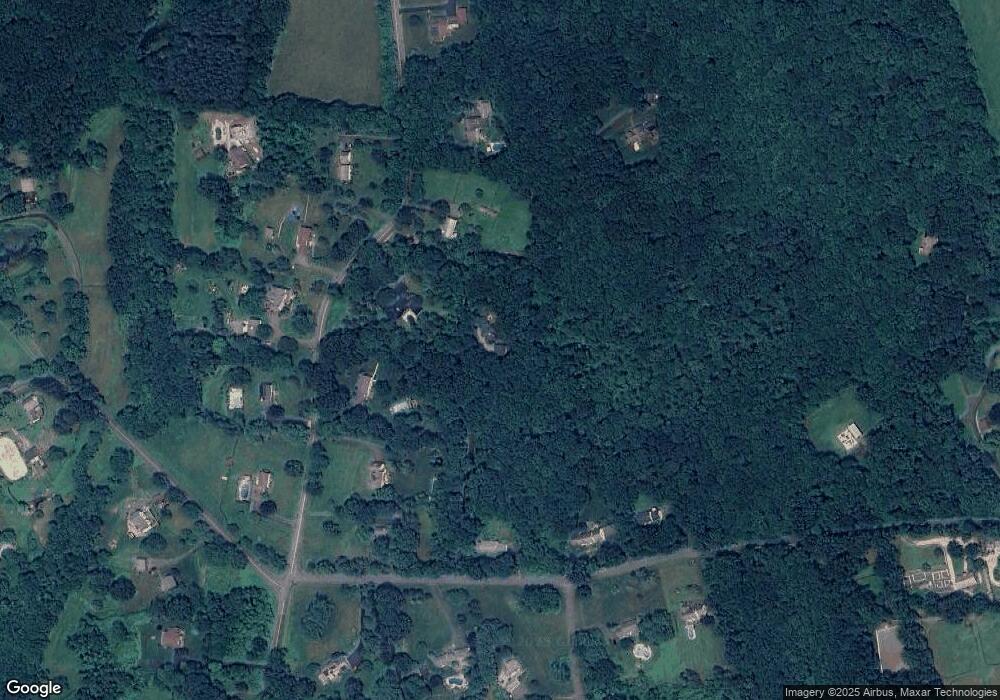
Map
Nearby Homes
- 147 Brushy Hill Rd
- 17 Hundred Acres Rd
- 6 Joan Dr
- 2 Winding Brook Rd
- 22 Palestine Rd
- 16 Ox Hill Rd
- 26 100 Acres Rd
- 1 Bari Dr
- 4 Old Gate Ln
- 24 Pine Tree Hill Rd
- 19 Castle Meadow Rd
- 301 S Main St Unit 29
- 10 Winton Farm Rd
- 13 Bear Hills Rd
- 29 Little Brook Ln
- 162 Hattertown Rd
- 2 Abbey Ln
- 102 S Main St
- 4 Abbey Ln
- 52 Aunt Park Ln
- 129 Brushy Hill Rd
- 127 Brushy Hill Rd
- 131 Brushy Hill Rd
- 133 Brushy Hill Rd
- 28 Platts Hill Rd
- 125 Brushy Hill Rd
- 154 Brushy Hill Rd
- 30 Platts Hill Rd
- 150 Brushy Hill Rd
- 135 Brushy Hill Rd
- 26 Platts Hill Rd
- 34 Platts Hill Rd
- 156 Brushy Hill Rd
- 158 Brushy Hill Rd
- 22 Platts Hill Rd
- 123 Brushy Hill Rd
- 152 Brushy Hill Rd
- 35 Platts Hill Rd
- 2 Arlyn Ridge Rd
- 1 Arlyn Ridge Rd