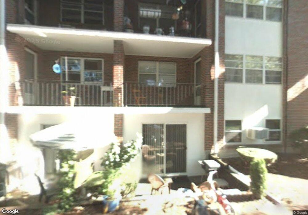
32 Pleasant Dr Unit 18 Stoughton, MA 02072
Estimated Value: $236,000 - $329,000
1
Bed
1
Bath
654
Sq Ft
$406/Sq Ft
Est. Value
About This Home
This home is located at 32 Pleasant Dr Unit 18, Stoughton, MA 02072 and is currently estimated at $265,263, approximately $405 per square foot. 32 Pleasant Dr Unit 18 is a home located in Norfolk County with nearby schools including Wilkins Elementary School, Dr. Robert G. O'Donnell Middle School, and Stoughton High School.
Ownership History
Date
Name
Owned For
Owner Type
Purchase Details
Closed on
Mar 30, 2007
Sold by
Spack Gilbert A and Spack Aomi
Bought by
Davies Susan
Current Estimated Value
Home Financials for this Owner
Home Financials are based on the most recent Mortgage that was taken out on this home.
Original Mortgage
$126,000
Outstanding Balance
$76,934
Interest Rate
6.33%
Mortgage Type
Purchase Money Mortgage
Estimated Equity
$188,329
Purchase Details
Closed on
Oct 31, 2001
Sold by
Boudreau Rt
Bought by
Werman Danielle R
Home Financials for this Owner
Home Financials are based on the most recent Mortgage that was taken out on this home.
Original Mortgage
$88,000
Interest Rate
6.82%
Mortgage Type
Purchase Money Mortgage
Purchase Details
Closed on
Jul 29, 1994
Sold by
Corbett Mary L
Bought by
Boudreau Carl A and Boudreau Susan M
Create a Home Valuation Report for This Property
The Home Valuation Report is an in-depth analysis detailing your home's value as well as a comparison with similar homes in the area
Home Values in the Area
Average Home Value in this Area
Purchase History
| Date | Buyer | Sale Price | Title Company |
|---|---|---|---|
| Davies Susan | $140,000 | -- | |
| Werman Danielle R | $110,000 | -- | |
| Boudreau Carl A | $42,000 | -- |
Source: Public Records
Mortgage History
| Date | Status | Borrower | Loan Amount |
|---|---|---|---|
| Open | Davies Susan | $126,000 | |
| Previous Owner | Werman Danielle R | $88,000 |
Source: Public Records
Tax History Compared to Growth
Tax History
| Year | Tax Paid | Tax Assessment Tax Assessment Total Assessment is a certain percentage of the fair market value that is determined by local assessors to be the total taxable value of land and additions on the property. | Land | Improvement |
|---|---|---|---|---|
| 2025 | $2,819 | $227,700 | $0 | $227,700 |
| 2024 | $2,774 | $217,900 | $0 | $217,900 |
| 2023 | $2,470 | $182,300 | $0 | $182,300 |
| 2022 | $2,419 | $167,900 | $0 | $167,900 |
| 2021 | $1,756 | $116,300 | $0 | $116,300 |
| 2020 | $1,815 | $121,900 | $0 | $121,900 |
| 2019 | $1,497 | $97,600 | $0 | $97,600 |
| 2018 | $1,303 | $88,000 | $0 | $88,000 |
| 2017 | $1,027 | $70,900 | $0 | $70,900 |
| 2016 | $1,051 | $70,200 | $0 | $70,200 |
| 2015 | $967 | $63,900 | $0 | $63,900 |
| 2014 | $941 | $59,800 | $0 | $59,800 |
Source: Public Records
Map
Nearby Homes
- 32 Pleasant Dr Unit 24
- 32 Pleasant Dr Unit 23
- 32 Pleasant Dr Unit 22
- 32 Pleasant Dr Unit 21
- 32 Pleasant Dr Unit 20
- 32 Pleasant Dr Unit 19
- 32 Pleasant Dr Unit 17
- 32 Pleasant Dr Unit 15
- 32 Pleasant Dr Unit 14
- 32 Pleasant Dr Unit 13
- 30 Pleasant Dr Unit 12
- 30 Pleasant Dr Unit 11
- 30 Pleasant Dr Unit 10
- 30 Pleasant Dr Unit 9
- 30 Pleasant Dr Unit 8
- 30 Pleasant Dr Unit 7
- 30 Pleasant Dr Unit 6
- 30 Pleasant Dr Unit 5
- 30 Pleasant Dr Unit 4
- 30 Pleasant Dr Unit 3