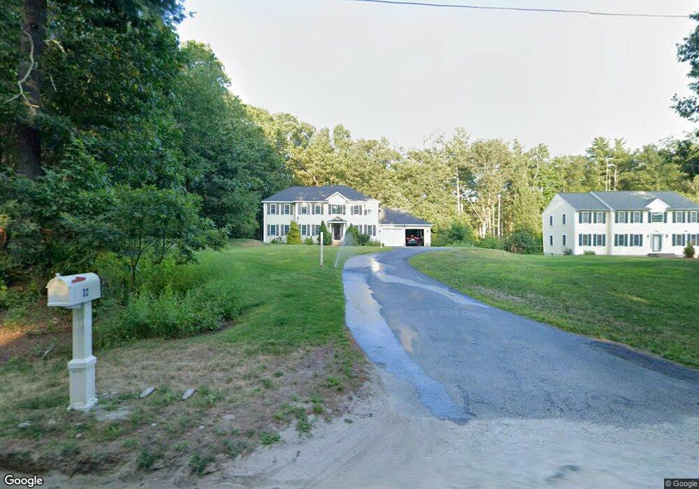
32 Powers Rd Westford, MA 01886
Estimated Value: $1,215,000 - $1,257,000
4
Beds
3
Baths
2,544
Sq Ft
$486/Sq Ft
Est. Value
About This Home
This home is located at 32 Powers Rd, Westford, MA 01886 and is currently estimated at $1,236,000, approximately $485 per square foot. 32 Powers Rd is a home located in Middlesex County with nearby schools including Col John Robinson, John A. Crisafulli Elementary School, and Blanchard Middle School.
Create a Home Valuation Report for This Property
The Home Valuation Report is an in-depth analysis detailing your home's value as well as a comparison with similar homes in the area
Home Values in the Area
Average Home Value in this Area
Tax History Compared to Growth
Tax History
| Year | Tax Paid | Tax Assessment Tax Assessment Total Assessment is a certain percentage of the fair market value that is determined by local assessors to be the total taxable value of land and additions on the property. | Land | Improvement |
|---|---|---|---|---|
| 2022 | $11,142 | $696,200 | $255,400 | $440,800 |
Source: Public Records
Map
Nearby Homes
- 14 Banbury Dr
- 92 Jimney Dr
- 17 Carlisle Rd
- 22 Carlisle Rd
- 1 Courtney Ln
- 4 Powers Rd
- 14 Fieldstone Dr
- 20 Dean Ln Unit 20
- 1 Thistle Ln
- 1 Fieldstone Dr
- 4 Casie Ln
- 25 Laurel Rd
- 122 Carlisle Rd
- 150 Goldsmith St
- 115 Goldsmith St
- 7 Little Bear Hill Rd
- 38 George St
- 4 Drew Crossing
- 5 Colonel Rolls Dr
- 511 Tumbling Hawk Unit 511