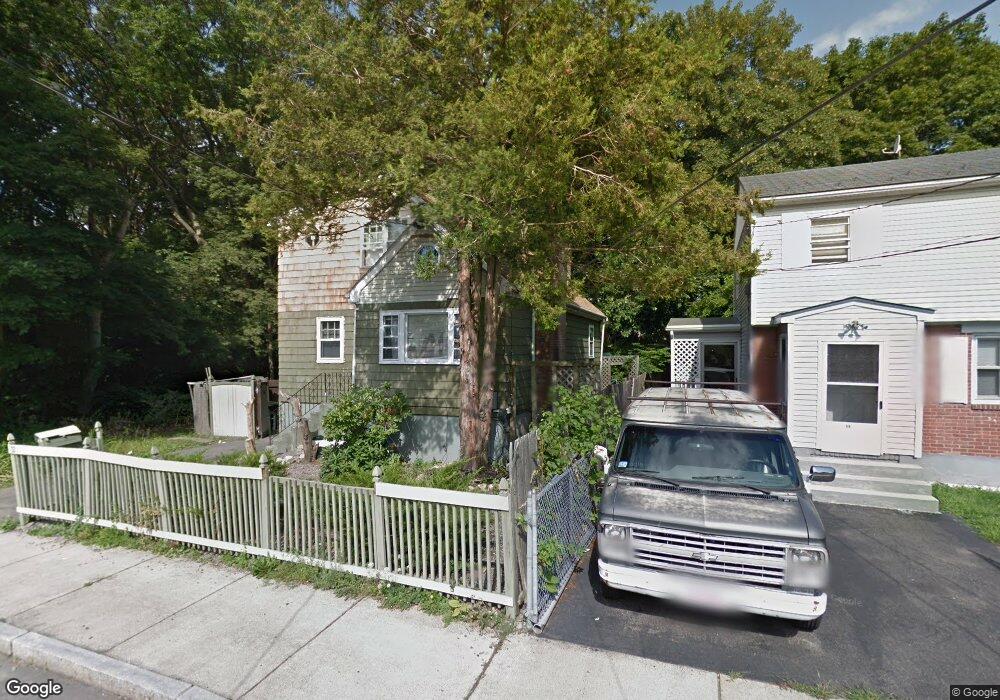
32 Prairie St Mattapan, MA 02126
Southern Mattapan NeighborhoodEstimated Value: $519,000 - $617,000
2
Beds
2
Baths
922
Sq Ft
$622/Sq Ft
Est. Value
About This Home
This home is located at 32 Prairie St, Mattapan, MA 02126 and is currently estimated at $573,205, approximately $621 per square foot. 32 Prairie St is a home located in Suffolk County with nearby schools including KIPP Academy Boston Charter School and Berea Seventh-day Adventist Academy.
Ownership History
Date
Name
Owned For
Owner Type
Purchase Details
Closed on
Jan 28, 2010
Sold by
Deutch Bank Natl T Co
Bought by
Stjuste Anne J
Current Estimated Value
Purchase Details
Closed on
Nov 12, 2009
Sold by
Davis Tonita Y and One West Bk
Bought by
Deutsche Bank Natl T C
Create a Home Valuation Report for This Property
The Home Valuation Report is an in-depth analysis detailing your home's value as well as a comparison with similar homes in the area
Home Values in the Area
Average Home Value in this Area
Purchase History
| Date | Buyer | Sale Price | Title Company |
|---|---|---|---|
| Stjuste Anne J | $130,000 | -- | |
| Deutsche Bank Natl T C | $138,750 | -- |
Source: Public Records
Tax History Compared to Growth
Tax History
| Year | Tax Paid | Tax Assessment Tax Assessment Total Assessment is a certain percentage of the fair market value that is determined by local assessors to be the total taxable value of land and additions on the property. | Land | Improvement |
|---|---|---|---|---|
| 2025 | $4,770 | $411,900 | $125,800 | $286,100 |
| 2024 | $4,279 | $392,600 | $126,800 | $265,800 |
| 2023 | $4,015 | $373,800 | $120,800 | $253,000 |
| 2022 | $3,766 | $346,100 | $111,800 | $234,300 |
| 2021 | $3,459 | $324,200 | $106,500 | $217,700 |
| 2020 | $2,841 | $269,000 | $89,200 | $179,800 |
| 2019 | $2,733 | $259,300 | $70,300 | $189,000 |
| 2018 | $2,539 | $242,300 | $70,300 | $172,000 |
| 2017 | $2,354 | $222,300 | $70,300 | $152,000 |
| 2016 | $2,223 | $202,100 | $70,300 | $131,800 |
| 2015 | $2,615 | $215,900 | $85,000 | $130,900 |
| 2014 | $2,491 | $198,000 | $85,000 | $113,000 |
Source: Public Records
Map
Nearby Homes
- 4 Gilmer St
- 10 Itasca St
- 49 Fottler Rd
- 14-14R Kennebec St
- 58 Mattapan St
- 116 Almont St
- 45 1st Ave Unit 111
- 60 and 64 Monterey Ave
- 30-32 Westmore Rd
- 100 Itasca St
- 20 Monterey Ave
- 710 Walk Hill St
- 23 Fessenden St
- 12 Hiawatha Rd
- 25 Fessenden St
- 6 Deering Rd
- 10 Hosmer St
- 12 Finch St Unit 12
- 567B Norfolk St
- 84 W Main St Unit 84