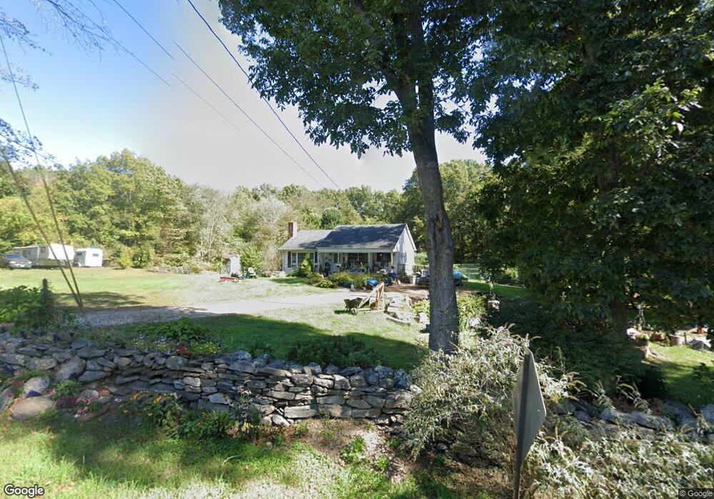
32 Prodell Rd Preston, CT 06365
Estimated Value: $202,000 - $354,000
3
Beds
1
Bath
1,060
Sq Ft
$273/Sq Ft
Est. Value
About This Home
This home is located at 32 Prodell Rd, Preston, CT 06365 and is currently estimated at $289,476, approximately $273 per square foot. 32 Prodell Rd is a home located in New London County.
Ownership History
Date
Name
Owned For
Owner Type
Purchase Details
Closed on
Mar 28, 2017
Sold by
Lowe Edward D and Lowe Cynthia L
Bought by
Lowe Edward A and Shea Rebecca E
Current Estimated Value
Purchase Details
Closed on
Dec 18, 1992
Sold by
Tedford Cn Deborah J
Bought by
Lowe Edward D and Lowe Cynthia
Home Financials for this Owner
Home Financials are based on the most recent Mortgage that was taken out on this home.
Original Mortgage
$35,000
Interest Rate
0.07%
Create a Home Valuation Report for This Property
The Home Valuation Report is an in-depth analysis detailing your home's value as well as a comparison with similar homes in the area
Home Values in the Area
Average Home Value in this Area
Purchase History
| Date | Buyer | Sale Price | Title Company |
|---|---|---|---|
| Lowe Edward A | -- | -- | |
| Lowe Edward D | $43,000 | -- |
Source: Public Records
Mortgage History
| Date | Status | Borrower | Loan Amount |
|---|---|---|---|
| Previous Owner | Lowe Edward D | $35,000 |
Source: Public Records
Tax History
| Year | Tax Paid | Tax Assessment Tax Assessment Total Assessment is a certain percentage of the fair market value that is determined by local assessors to be the total taxable value of land and additions on the property. | Land | Improvement |
|---|---|---|---|---|
| 2025 | $4,141 | $164,920 | $61,950 | $102,970 |
| 2024 | $3,854 | $164,920 | $61,950 | $102,970 |
| 2023 | $3,785 | $164,920 | $61,950 | $102,970 |
| 2022 | $3,321 | $119,100 | $55,800 | $63,300 |
| 2021 | $3,209 | $119,100 | $55,800 | $63,300 |
| 2020 | $3,204 | $119,100 | $55,800 | $63,300 |
| 2019 | $3,148 | $119,100 | $55,800 | $63,300 |
| 2018 | $3,100 | $119,100 | $55,800 | $63,300 |
| 2017 | $3,173 | $132,200 | $55,800 | $76,400 |
| 2016 | $3,140 | $132,200 | $55,800 | $76,400 |
| 2015 | $3,041 | $132,200 | $55,800 | $76,400 |
| 2014 | $3,059 | $132,200 | $55,800 | $76,400 |
Source: Public Records
Map
Nearby Homes
- 32 Krug Rd
- 381 Route 164
- 57 NW Corner Rd
- 36 NW Corner Rd
- 19 Cedarcrest Dr
- 31 Branch Hill Rd
- 59 Long Society Rd
- 55A Anna Farm Rd W
- 121 Watson Rd
- 15 Tunnel Hill Ct Unit LOT 9
- 7 Carver Ave
- 6 Lake of Isles Rd
- 4 Lake of Isles Rd
- 168 Corning Rd
- 381 Route 2
- 625 N Main St Unit 627
- 296 Hamilton Ave Unit 30
- 296 Hamilton Ave Unit 25
- 29 Mckay St
- 406 Central Ave Unit 408
Your Personal Tour Guide
Ask me questions while you tour the home.