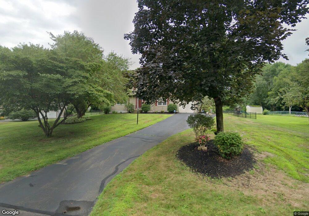
32 Randall Cir Windsor, CT 06095
Hayden NeighborhoodEstimated Value: $389,000 - $457,000
3
Beds
4
Baths
1,764
Sq Ft
$237/Sq Ft
Est. Value
About This Home
This home is located at 32 Randall Cir, Windsor, CT 06095 and is currently estimated at $418,696, approximately $237 per square foot. 32 Randall Cir is a home located in Hartford County with nearby schools including Oliver Ellsworth School, John F. Kennedy School, and Sage Park Middle School.
Ownership History
Date
Name
Owned For
Owner Type
Purchase Details
Closed on
Nov 7, 2008
Sold by
Lena Salvatore and Lena Lore
Bought by
Palliardi Heidi
Current Estimated Value
Home Financials for this Owner
Home Financials are based on the most recent Mortgage that was taken out on this home.
Original Mortgage
$165,000
Interest Rate
6.08%
Mortgage Type
Purchase Money Mortgage
Purchase Details
Closed on
Oct 1, 1999
Sold by
Morse Scott and Morse Leslie
Bought by
Lema Salvatore and Lema Lore
Purchase Details
Closed on
Dec 28, 1994
Sold by
Tibbo Scott and Tibbo Denise
Bought by
Morse Scott and Morse Leslie
Create a Home Valuation Report for This Property
The Home Valuation Report is an in-depth analysis detailing your home's value as well as a comparison with similar homes in the area
Home Values in the Area
Average Home Value in this Area
Purchase History
| Date | Buyer | Sale Price | Title Company |
|---|---|---|---|
| Palliardi Heidi | $265,000 | -- | |
| Lema Salvatore | $166,000 | -- | |
| Morse Scott | $142,000 | -- |
Source: Public Records
Mortgage History
| Date | Status | Borrower | Loan Amount |
|---|---|---|---|
| Open | Morse Scott | $165,000 | |
| Closed | Morse Scott | $165,000 | |
| Previous Owner | Morse Scott | $128,500 |
Source: Public Records
Tax History
| Year | Tax Paid | Tax Assessment Tax Assessment Total Assessment is a certain percentage of the fair market value that is determined by local assessors to be the total taxable value of land and additions on the property. | Land | Improvement |
|---|---|---|---|---|
| 2025 | $6,476 | $227,640 | $71,330 | $156,310 |
| 2024 | $6,902 | $227,640 | $71,330 | $156,310 |
| 2023 | $5,330 | $158,620 | $55,440 | $103,180 |
| 2022 | $5,277 | $158,620 | $55,440 | $103,180 |
| 2021 | $5,277 | $158,620 | $55,440 | $103,180 |
| 2020 | $5,252 | $158,620 | $55,440 | $103,180 |
| 2019 | $5,136 | $158,620 | $55,440 | $103,180 |
| 2018 | $5,055 | $153,370 | $55,440 | $97,930 |
| 2017 | $4,977 | $153,370 | $55,440 | $97,930 |
| 2016 | $4,834 | $153,370 | $55,440 | $97,930 |
| 2015 | $4,742 | $153,370 | $55,440 | $97,930 |
| 2014 | $4,673 | $153,370 | $55,440 | $97,930 |
Source: Public Records
Map
Nearby Homes
- 1333 Palisado Ave
- 211 MacKtown Rd
- 16 Brown Ave
- 9 Brown Ave
- 957 Palisado Ave
- 294 S Main St Unit LOT 2
- 39 Warham St
- 66 Maple Ave
- 0 Abbe Rd
- 27 W River Rd
- 216 Hayden Station Rd
- 44 Oxbow Ln
- 18 Cathy (Lot 17) Ln
- 20 Cathy (Lot 16) Ln
- 24 Cathy (Lot 14) Ln
- 22 Cathy (Lot 15) Ln
- 17 Cathy (Lot 18) Ln
- 26 Cathy (Lot 13) Ln
- 29 W River Rd
- 19 Cathy (Lot 19) Ln
- 26 Randall Cir
- 38 Randall Cir
- 459 Palisado Ave
- 471 Palisado Ave
- 20 Randall Cir
- 33 Randall Cir
- 45 Randall Cir
- 27 Randall Cir
- 435 Palisado Ave
- 495 Palisado Ave
- 39 Randall Cir
- 14 Randall Cir
- 21 Randall Cir
- 431 Palisado Ave
- 425 Palisado Ave
- 458 Palisado Ave Unit 1
- 458 Palisado Ave
- 15 Randall Cir
- 454 Palisado Ave
- 466 Palisado Ave
Your Personal Tour Guide
Ask me questions while you tour the home.