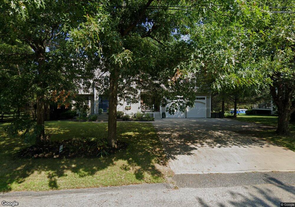
32 Ray Ave Bellingham, MA 02019
Estimated Value: $628,072 - $656,000
5
Beds
4
Baths
2,605
Sq Ft
$248/Sq Ft
Est. Value
About This Home
This home is located at 32 Ray Ave, Bellingham, MA 02019 and is currently estimated at $646,018, approximately $247 per square foot. 32 Ray Ave is a home located in Norfolk County with nearby schools including Stall Brook Elementary School, Bellingham High School, and Bethany Christian Academy.
Ownership History
Date
Name
Owned For
Owner Type
Purchase Details
Closed on
Jun 20, 2012
Sold by
Sells Todd B and Sells Tammy S
Bought by
Sells Tammy S
Current Estimated Value
Purchase Details
Closed on
Sep 24, 1993
Sold by
Smith Dennis H and Smith Jacqueline T
Bought by
Sells Todd B and Sells Tammy S
Home Financials for this Owner
Home Financials are based on the most recent Mortgage that was taken out on this home.
Original Mortgage
$139,750
Interest Rate
7.1%
Mortgage Type
Purchase Money Mortgage
Purchase Details
Closed on
Feb 26, 1988
Sold by
Mancini Margaret A
Bought by
Smith Dennis H
Home Financials for this Owner
Home Financials are based on the most recent Mortgage that was taken out on this home.
Original Mortgage
$100,000
Interest Rate
10.49%
Mortgage Type
Purchase Money Mortgage
Create a Home Valuation Report for This Property
The Home Valuation Report is an in-depth analysis detailing your home's value as well as a comparison with similar homes in the area
Home Values in the Area
Average Home Value in this Area
Purchase History
| Date | Buyer | Sale Price | Title Company |
|---|---|---|---|
| Sells Tammy S | -- | -- | |
| Sells Todd B | $155,300 | -- | |
| Sells Todd B | $155,300 | -- | |
| Smith Dennis H | $131,000 | -- |
Source: Public Records
Mortgage History
| Date | Status | Borrower | Loan Amount |
|---|---|---|---|
| Previous Owner | Smith Dennis H | $139,750 | |
| Previous Owner | Smith Dennis H | $20,000 | |
| Previous Owner | Smith Dennis H | $100,000 |
Source: Public Records
Tax History Compared to Growth
Tax History
| Year | Tax Paid | Tax Assessment Tax Assessment Total Assessment is a certain percentage of the fair market value that is determined by local assessors to be the total taxable value of land and additions on the property. | Land | Improvement |
|---|---|---|---|---|
| 2025 | $6,604 | $525,800 | $171,300 | $354,500 |
| 2024 | $6,291 | $489,200 | $156,400 | $332,800 |
| 2023 | $6,062 | $464,500 | $148,900 | $315,600 |
| 2022 | $5,957 | $423,100 | $124,200 | $298,900 |
| 2021 | $5,758 | $399,600 | $124,200 | $275,400 |
| 2020 | $5,668 | $398,600 | $124,200 | $274,400 |
| 2019 | $5,552 | $390,700 | $124,200 | $266,500 |
| 2018 | $5,411 | $375,500 | $119,400 | $256,100 |
| 2017 | $5,254 | $366,400 | $119,400 | $247,000 |
| 2016 | $5,004 | $350,200 | $117,400 | $232,800 |
| 2015 | $4,798 | $336,700 | $112,900 | $223,800 |
| 2014 | $4,820 | $328,800 | $110,300 | $218,500 |
Source: Public Records
Map
Nearby Homes
- 8 Mohawk Path
- 17 Pine St
- 359 Hartford Ave
- 14 Hawthorne Village Unit D
- 60 Pine St
- 455 Hartford Ave
- 0 Old Log Lane (Farm St) Unit 73416329
- 49 Palomino Dr
- 462 Hartford Ave
- 0 Farm St
- 20 Beechwood Rd
- 30 Stone St
- 951 Pond St
- 1081 Pond St
- 202 Hartford Ave
- 453 Hartford Ave
- 12 Arrowhead Rd
- 9 Tulip Way
- 39 West St
- 471 Pond St