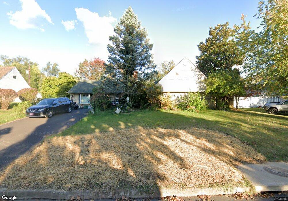
32 Red Ridge Rd Levittown, PA 19056
Red Rose Gate NeighborhoodEstimated Value: $525,868 - $628,000
3
Beds
2
Baths
2,708
Sq Ft
$214/Sq Ft
Est. Value
About This Home
This home is located at 32 Red Ridge Rd, Levittown, PA 19056 and is currently estimated at $579,217, approximately $213 per square foot. 32 Red Ridge Rd is a home located in Bucks County with nearby schools including Walter Miller Elementary School, Sandburg Middle School, and Neshaminy High School.
Ownership History
Date
Name
Owned For
Owner Type
Purchase Details
Closed on
Apr 23, 2012
Sold by
Beal Nicole M
Bought by
Beal James D and Beal Nicole M
Current Estimated Value
Home Financials for this Owner
Home Financials are based on the most recent Mortgage that was taken out on this home.
Original Mortgage
$85,000
Interest Rate
4.75%
Mortgage Type
Adjustable Rate Mortgage/ARM
Purchase Details
Closed on
Feb 22, 2011
Sold by
Pierno Charles M
Bought by
Pierno Charles M and Beal Nicole M
Create a Home Valuation Report for This Property
The Home Valuation Report is an in-depth analysis detailing your home's value as well as a comparison with similar homes in the area
Home Values in the Area
Average Home Value in this Area
Purchase History
| Date | Buyer | Sale Price | Title Company |
|---|---|---|---|
| Beal James D | -- | None Available | |
| Pierno Charles M | -- | None Available |
Source: Public Records
Mortgage History
| Date | Status | Borrower | Loan Amount |
|---|---|---|---|
| Closed | Beal James D | $85,000 |
Source: Public Records
Tax History
| Year | Tax Paid | Tax Assessment Tax Assessment Total Assessment is a certain percentage of the fair market value that is determined by local assessors to be the total taxable value of land and additions on the property. | Land | Improvement |
|---|---|---|---|---|
| 2025 | $6,250 | $28,710 | $5,840 | $22,870 |
| 2024 | $6,250 | $28,710 | $5,840 | $22,870 |
| 2023 | $6,151 | $28,710 | $5,840 | $22,870 |
| 2022 | $5,989 | $28,710 | $5,840 | $22,870 |
| 2021 | $5,989 | $28,710 | $5,840 | $22,870 |
| 2020 | $5,918 | $28,710 | $5,840 | $22,870 |
| 2019 | $5,786 | $28,710 | $5,840 | $22,870 |
| 2018 | $5,679 | $28,710 | $5,840 | $22,870 |
| 2017 | $5,534 | $28,710 | $5,840 | $22,870 |
| 2016 | $5,534 | $28,710 | $5,840 | $22,870 |
| 2015 | $5,930 | $28,710 | $5,840 | $22,870 |
| 2014 | $5,930 | $28,710 | $5,840 | $22,870 |
Source: Public Records
Map
Nearby Homes
- 24 Rose Apple Rd
- 5 June Rd
- 122 Ivy Hill Rd
- 131 Ivy Hill Rd
- 76 Cobalt Ridge Dr E Unit E
- 90 Cobalt Ridge Dr E Unit E
- 56 Indian Red Rd
- 27 Spicebush Rd
- 10 Inbrook Rd
- 137 Idlewild Rd
- 43 Petunia Rd
- 169 Forsythia Dr N
- 45 Indian Creek Entry
- 80 Silverspruce Rd
- 111 Border Rock Rd
- 77 Gaping Rock Rd
- 51 Hollybrooke Dr
- 541 Stanford Rd
- L:070 Trenton Rd
- 9 Harmony Rd
Your Personal Tour Guide
Ask me questions while you tour the home.