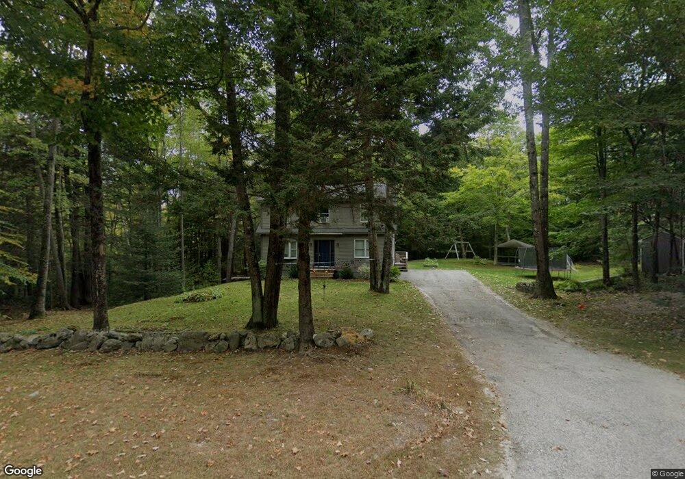
32 Reed Rd Durham, ME 04222
Estimated Value: $500,000 - $768,000
3
Beds
2
Baths
2,100
Sq Ft
$284/Sq Ft
Est. Value
About This Home
This home is located at 32 Reed Rd, Durham, ME 04222 and is currently estimated at $596,242, approximately $283 per square foot. 32 Reed Rd is a home located in Androscoggin County with nearby schools including Durham Community School and Freeport High School.
Ownership History
Date
Name
Owned For
Owner Type
Purchase Details
Closed on
Jul 16, 2008
Sold by
Recht Arline
Bought by
Kinney Clinton M and Biro Maryann R
Current Estimated Value
Home Financials for this Owner
Home Financials are based on the most recent Mortgage that was taken out on this home.
Original Mortgage
$184,760
Interest Rate
6.17%
Mortgage Type
FHA
Create a Home Valuation Report for This Property
The Home Valuation Report is an in-depth analysis detailing your home's value as well as a comparison with similar homes in the area
Home Values in the Area
Average Home Value in this Area
Purchase History
| Date | Buyer | Sale Price | Title Company |
|---|---|---|---|
| Kinney Clinton M | -- | -- |
Source: Public Records
Mortgage History
| Date | Status | Borrower | Loan Amount |
|---|---|---|---|
| Open | Kinney Clinton M | $188,000 | |
| Closed | Kinney Clinton M | $184,760 |
Source: Public Records
Tax History Compared to Growth
Tax History
| Year | Tax Paid | Tax Assessment Tax Assessment Total Assessment is a certain percentage of the fair market value that is determined by local assessors to be the total taxable value of land and additions on the property. | Land | Improvement |
|---|---|---|---|---|
| 2024 | $4,224 | $194,200 | $61,200 | $133,000 |
| 2023 | $4,146 | $194,200 | $61,200 | $133,000 |
| 2022 | $4,020 | $194,200 | $61,200 | $133,000 |
| 2021 | $4,020 | $194,200 | $61,200 | $133,000 |
| 2020 | $3,933 | $194,200 | $61,200 | $133,000 |
| 2019 | $3,933 | $194,200 | $61,200 | $133,000 |
| 2018 | $3,826 | $194,200 | $61,200 | $133,000 |
| 2016 | $3,651 | $194,200 | $61,200 | $133,000 |
| 2015 | $3,379 | $194,200 | $61,200 | $133,000 |
| 2014 | $3,233 | $194,200 | $61,200 | $133,000 |
| 2013 | $2,903 | $194,200 | $61,200 | $133,000 |
Source: Public Records
Map
Nearby Homes
- 12 Peter Robin Way
- 32 Grant Rd
- 42A Wardtown Rd
- 006-114 Old Brunswick Rd
- 28 Nyasa Ln
- 0 Nyasa Ln
- 137 Durham Rd
- 143 Bragdon Rd
- 16 Harlie Woods Rd
- 1595 U S Route 1
- 43 Rose Douglas Ln
- Lot 9 Little Fawn Ln
- 45 Ruby Ln
- 4 Harper's Trail
- 8 Statler Ln
- 206 Davis Rd
- 31 Allen Range Rd
- 1032 Ferry Rd
- 0 Prout Rd
- 1260 Us Route 1
- 26 Whippoorwill Ln
- 0 Reed Rd
- 35 Reed Rd
- 32 Whippoorwill Ln
- 14 Reed Rd
- 1532 Royalsborough Rd
- 46 Reed Rd
- 19 Gerrish Ln
- 47 Reed Rd
- 1540 Royalsborough Rd
- 1548 Royalsborough Rd
- 30 Whippoorwill Ln
- Lot 9 Chickadee Ln
- 1558 Royalsborough Rd
- Lot 7 Chickadee Ln
- Lot 13 Whippoorwill Ln
- 13 Whippoorwill Ln
- Lot 5 Chickadee Ln
- Lot 3 Chickadee Ln
- 29 Chickadee Ln