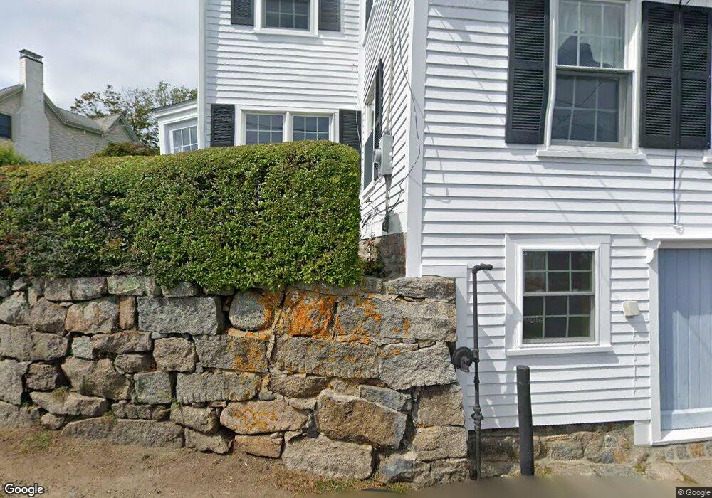
32 River Rd Gloucester, MA 01930
Annisquam NeighborhoodEstimated Value: $1,238,000 - $2,563,000
4
Beds
3
Baths
2,274
Sq Ft
$810/Sq Ft
Est. Value
About This Home
This home is located at 32 River Rd, Gloucester, MA 01930 and is currently estimated at $1,841,453, approximately $809 per square foot. 32 River Rd is a home located in Essex County with nearby schools including Plum Cove School, Ralph B O'maley Middle School, and Gloucester High School.
Ownership History
Date
Name
Owned For
Owner Type
Purchase Details
Closed on
May 20, 2021
Sold by
Mcaveeney David C and Mcaveeney Janet N
Bought by
J Mcaveeney T 2003
Current Estimated Value
Purchase Details
Closed on
Jan 22, 2016
Sold by
Mcaveeney Janet N
Bought by
Mcaveeney Janet N and Mcaveeney David C
Purchase Details
Closed on
Sep 17, 2004
Sold by
Mcaveeney David C and Mcaveeney Janet N
Bought by
Mcaveeney Janet N
Purchase Details
Closed on
Jun 1, 1980
Bought by
Mcaveeney Janet N and Mcaveeney David C
Create a Home Valuation Report for This Property
The Home Valuation Report is an in-depth analysis detailing your home's value as well as a comparison with similar homes in the area
Home Values in the Area
Average Home Value in this Area
Purchase History
| Date | Buyer | Sale Price | Title Company |
|---|---|---|---|
| J Mcaveeney T 2003 | -- | None Available | |
| Mcaveeney Janet N | -- | -- | |
| Mcaveeney Janet N | -- | -- | |
| Mcaveeney Janet N | $70,000 | -- |
Source: Public Records
Mortgage History
| Date | Status | Borrower | Loan Amount |
|---|---|---|---|
| Previous Owner | Mcaveeney Janet N | $50,000 |
Source: Public Records
Tax History
| Year | Tax Paid | Tax Assessment Tax Assessment Total Assessment is a certain percentage of the fair market value that is determined by local assessors to be the total taxable value of land and additions on the property. | Land | Improvement |
|---|---|---|---|---|
| 2025 | $20,030 | $2,060,700 | $1,526,300 | $534,400 |
| 2024 | $18,947 | $1,947,300 | $1,412,900 | $534,400 |
| 2023 | $15,363 | $1,450,700 | $982,100 | $468,600 |
| 2022 | $14,853 | $1,266,200 | $854,100 | $412,100 |
| 2021 | $14,337 | $1,152,500 | $776,100 | $376,400 |
| 2020 | $14,219 | $1,153,200 | $776,100 | $377,100 |
| 2019 | $13,732 | $1,082,100 | $740,000 | $342,100 |
| 2018 | $13,437 | $1,039,200 | $722,000 | $317,200 |
| 2017 | $12,922 | $979,700 | $677,700 | $302,000 |
| 2016 | $12,539 | $921,300 | $647,500 | $273,800 |
| 2015 | $12,102 | $886,600 | $632,800 | $253,800 |
Source: Public Records
Map
Nearby Homes
- 672 Washington St
- 136 Leonard St
- 2 Breezy Point Rd
- 226 Atlantic St
- 178 Atlantic St
- 4 Ciaramitaro Ct
- 167 Atlantic St
- 7 Colburn St
- 13 Honeysuckle Rd
- 31 Echo Ave
- 9 Hickory St
- 1030 Washington St
- 43 High St Unit B
- 13 Mystic Ave
- 8 Mystic Ave
- 3 Rockland St
- 6 Monroe Ct
- 117 Bray St
- 98 Maplewood Ave
- 12 Arthur St
Your Personal Tour Guide
Ask me questions while you tour the home.