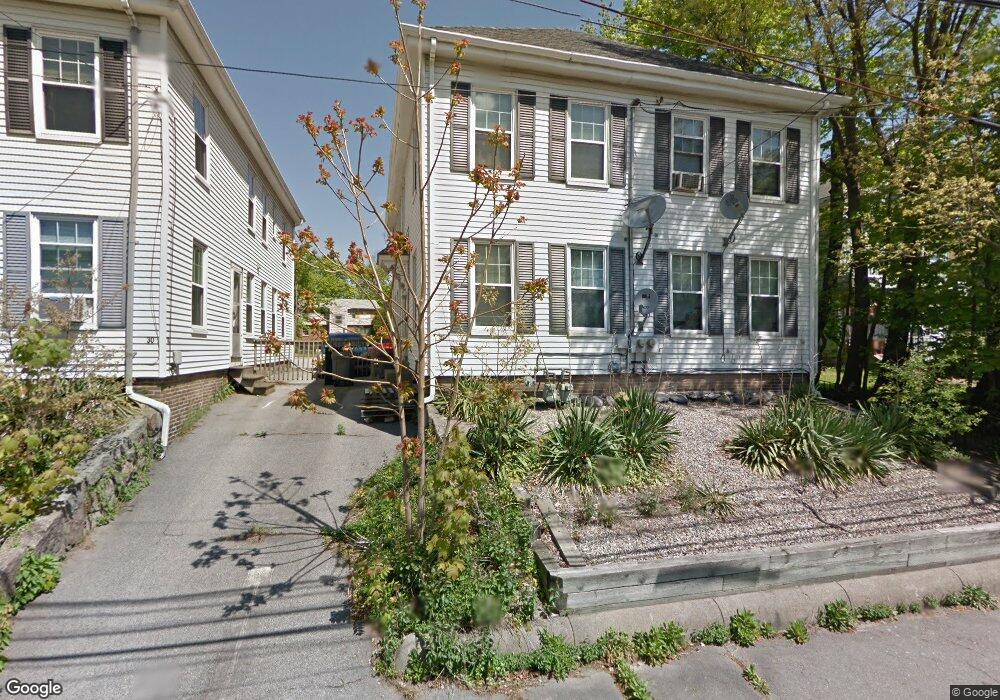
32 River St Unit 34 Braintree, MA 02184
North Braintree NeighborhoodEstimated Value: $818,956 - $948,000
2
Beds
2
Baths
2,352
Sq Ft
$371/Sq Ft
Est. Value
About This Home
This home is located at 32 River St Unit 34, Braintree, MA 02184 and is currently estimated at $871,489, approximately $370 per square foot. 32 River St Unit 34 is a home located in Norfolk County with nearby schools including Braintree High School, Step Ahead Kindergarten, and Meeting House Montessori School.
Ownership History
Date
Name
Owned For
Owner Type
Purchase Details
Closed on
Jan 31, 2019
Sold by
Oleary Daniel A and Oleary Jean C
Bought by
River Street Oleary Ft
Current Estimated Value
Purchase Details
Closed on
Nov 14, 2008
Sold by
Oleary Daniel A and Oleary Katherine F
Bought by
Oleary Daniel A and Oleary Jean C
Home Financials for this Owner
Home Financials are based on the most recent Mortgage that was taken out on this home.
Original Mortgage
$321,000
Interest Rate
6.13%
Mortgage Type
Purchase Money Mortgage
Create a Home Valuation Report for This Property
The Home Valuation Report is an in-depth analysis detailing your home's value as well as a comparison with similar homes in the area
Home Values in the Area
Average Home Value in this Area
Purchase History
| Date | Buyer | Sale Price | Title Company |
|---|---|---|---|
| River Street Oleary Ft | -- | -- | |
| Oleary Daniel A | $410,000 | -- |
Source: Public Records
Mortgage History
| Date | Status | Borrower | Loan Amount |
|---|---|---|---|
| Previous Owner | Oleary Daniel A | $321,000 |
Source: Public Records
Tax History
| Year | Tax Paid | Tax Assessment Tax Assessment Total Assessment is a certain percentage of the fair market value that is determined by local assessors to be the total taxable value of land and additions on the property. | Land | Improvement |
|---|---|---|---|---|
| 2025 | $7,335 | $735,000 | $330,400 | $404,600 |
| 2024 | $6,385 | $673,500 | $308,000 | $365,500 |
| 2023 | $6,010 | $615,800 | $276,800 | $339,000 |
| 2022 | $5,861 | $589,000 | $250,000 | $339,000 |
| 2021 | $5,270 | $529,600 | $225,900 | $303,700 |
| 2020 | $4,984 | $505,500 | $205,400 | $300,100 |
| 2019 | $4,792 | $474,900 | $196,400 | $278,500 |
| 2018 | $4,687 | $444,700 | $178,600 | $266,100 |
| 2017 | $4,539 | $422,600 | $156,500 | $266,100 |
| 2016 | $3,885 | $353,800 | $131,800 | $222,000 |
| 2015 | $3,899 | $352,200 | $130,200 | $222,000 |
| 2014 | $3,566 | $312,300 | $118,600 | $193,700 |
Source: Public Records
Map
Nearby Homes
- 30 Church St Unit 4
- 20 Vine St
- 491 Washington St Unit 1
- 50 Cleveland Ave
- 342 Elm St
- 6 Oak St
- 255 River St
- 29 Joseph Rd
- 36 Chestnut Ave
- 17 White Rd
- 5 Woodsum Dr Unit 12
- 9 Independence Ave Unit 307
- 192 Federal Ave Unit B
- 26 Tingley Rd
- 298 Lisle St
- 347 Centre St
- 31 Doris Rd
- 21 Totman St Unit 308
- 21 Totman St Unit 205
- 21 Totman St Unit 404
- 28 River St
- 30 River St Unit 30
- 30 River St Unit 2
- 28 River St Unit 2
- 30 River St Unit 28
- 38 River St
- 22 River St
- 46 River St Unit 1
- 46 River St
- 25 River St
- 20 Hooker St
- 45 River St
- 23 River St
- 27 Shaw Ave Unit 29
- 35 Hooker St
- 35 Hooker St Unit 1
- 35 Hooker St Unit 2
- 35 Hooker St Unit 3
- 29 Hooker St Unit 31
- 16-18 River St
Your Personal Tour Guide
Ask me questions while you tour the home.