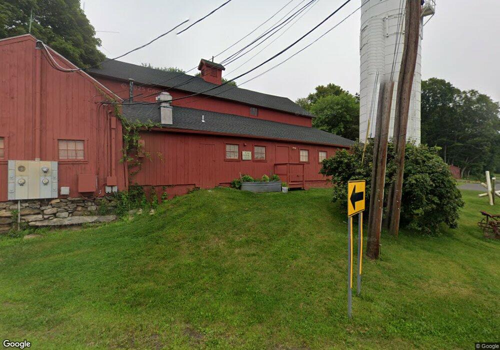
32 Route 37 E Sherman, CT 06784
Estimated Value: $1,036,000 - $1,570,964
4
Beds
3
Baths
2,632
Sq Ft
$489/Sq Ft
Est. Value
About This Home
This home is located at 32 Route 37 E, Sherman, CT 06784 and is currently estimated at $1,288,321, approximately $489 per square foot. 32 Route 37 E is a home located in Fairfield County with nearby schools including Sherman School.
Ownership History
Date
Name
Owned For
Owner Type
Purchase Details
Closed on
Dec 31, 2019
Sold by
Garlasco Paul J
Bought by
Gorman Eric
Current Estimated Value
Purchase Details
Closed on
Apr 15, 2014
Sold by
Gorman Ralph
Bought by
Garlasco Paul J
Create a Home Valuation Report for This Property
The Home Valuation Report is an in-depth analysis detailing your home's value as well as a comparison with similar homes in the area
Home Values in the Area
Average Home Value in this Area
Purchase History
| Date | Buyer | Sale Price | Title Company |
|---|---|---|---|
| Gorman Eric | -- | None Available | |
| Garlasco Paul J | -- | -- |
Source: Public Records
Mortgage History
| Date | Status | Borrower | Loan Amount |
|---|---|---|---|
| Previous Owner | Garlasco Paul J | $200,000 | |
| Previous Owner | Garlasco Paul J | $200,000 | |
| Previous Owner | Garlasco Paul J | $170,000 | |
| Previous Owner | Garlasco Paul J | $117,000 |
Source: Public Records
Tax History
| Year | Tax Paid | Tax Assessment Tax Assessment Total Assessment is a certain percentage of the fair market value that is determined by local assessors to be the total taxable value of land and additions on the property. | Land | Improvement |
|---|---|---|---|---|
| 2025 | $15,671 | $940,100 | $154,100 | $786,000 |
| 2024 | $15,380 | $940,100 | $154,100 | $786,000 |
| 2023 | $16,753 | $940,100 | $154,100 | $786,000 |
| 2022 | $17,091 | $940,100 | $154,100 | $786,000 |
| 2021 | $17,523 | $940,100 | $154,100 | $786,000 |
| 2020 | $17,965 | $940,100 | $154,100 | $786,000 |
| 2019 | $17,045 | $860,400 | $154,100 | $706,300 |
| 2018 | $0 | $855,700 | $161,600 | $694,100 |
| 2017 | $17,396 | $855,700 | $161,600 | $694,100 |
| 2016 | $17,396 | $855,680 | $161,560 | $694,120 |
| 2015 | $17,148 | $855,680 | $161,560 | $694,120 |
| 2014 | $9,434 | $475,510 | $161,560 | $313,950 |
Source: Public Records
Map
Nearby Homes
- 6 Brinsmade Ln
- 27 Jotham Rd
- 139 Candlewood Mountain Rd
- 2 Coburn Road W, She Coburn Rd W
- 27 Osborn Rd
- 3 Gelston Rd
- 0 Candlewood Mountain Rd Unit 24137997
- 0 Candlewood Mountain Rd Unit 24138000
- 11 Gelston Rd
- 12 Shadow Ln
- 3 Duncan Ln
- 20 Zacary Ln
- 8 Candleview Dr
- 29 Farm Rd
- 3 Taber Rd
- 11 Chestnut Hill Rd
- 15 Twin Oaks
- 2 Cardinal Ln
- 22 Candlewood Common
- 11 Oak Rd
- 34 Route 37 E
- 30 Route 37 E
- 36 Route 37 E
- 29 Route 37 E Unit B
- 29 Route 37 E Unit 3
- 29 Route 37 E
- 29 Route 37 E Unit 2M
- 28 Route 37 E
- 31 Route 37 E
- 7 Hubbell Mountain Rd
- 9 Hubbell Mountain Rd
- 27 Route 37 E
- 6 Irene Ln
- 9 Partridge Trail
- 5 Hubbell Mountain Rd
- 26 Hubbell Mountain Rd
- 33 Route 37 E
- 18 Brinsmade Ln
- 7 Partridge Trail
- 28 Hubbell Mountain Rd
Your Personal Tour Guide
Ask me questions while you tour the home.