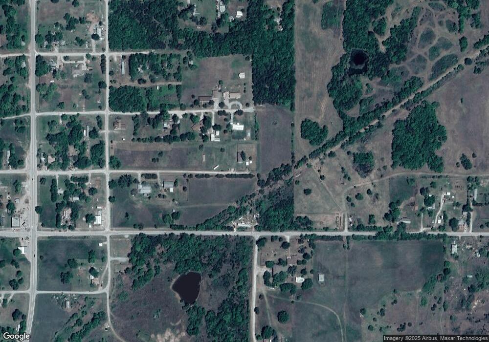
32 Rr 3 Cleveland, OK 74020
Estimated Value: $548,060 - $609,000
4
Beds
4
Baths
3,940
Sq Ft
$149/Sq Ft
Est. Value
About This Home
This home is located at 32 Rr 3, Cleveland, OK 74020 and is currently estimated at $585,687, approximately $148 per square foot. 32 Rr 3 is a home located in Pawnee County with nearby schools including Cleveland Primary Elementary School, Cleveland Intermediate Elementary School, and Cleveland Middle School.
Ownership History
Date
Name
Owned For
Owner Type
Purchase Details
Closed on
Jul 24, 2020
Sold by
Kretchmar Living Trust
Bought by
Lawlor Bruce
Current Estimated Value
Home Financials for this Owner
Home Financials are based on the most recent Mortgage that was taken out on this home.
Original Mortgage
$420,000
Outstanding Balance
$372,428
Interest Rate
3.1%
Mortgage Type
Construction
Estimated Equity
$213,259
Purchase Details
Closed on
Jun 15, 2017
Sold by
Embry Kenneth E and Embry Ann S
Bought by
Kretchmar Living Trust
Purchase Details
Closed on
Jul 31, 2012
Sold by
Groves Neal J
Bought by
Embry Kenneth E and Embry Ann S
Purchase Details
Closed on
May 31, 2001
Sold by
Campbell Theodore D
Bought by
Groves Neal J and Groves Brenda C
Purchase Details
Closed on
May 27, 1993
Sold by
Dell Charles E and Elma Jo
Bought by
Campbell Theodore D
Create a Home Valuation Report for This Property
The Home Valuation Report is an in-depth analysis detailing your home's value as well as a comparison with similar homes in the area
Home Values in the Area
Average Home Value in this Area
Purchase History
| Date | Buyer | Sale Price | Title Company |
|---|---|---|---|
| Lawlor Bruce | $525,000 | American Eagle Title Grp | |
| Kretchmar Living Trust | $400,000 | Guaranty Abstract Co | |
| Embry Kenneth E | -- | -- | |
| Groves Neal J | $23,000 | -- | |
| Campbell Theodore D | $70,000 | -- |
Source: Public Records
Mortgage History
| Date | Status | Borrower | Loan Amount |
|---|---|---|---|
| Open | Lawlor Bruce | $420,000 |
Source: Public Records
Tax History Compared to Growth
Tax History
| Year | Tax Paid | Tax Assessment Tax Assessment Total Assessment is a certain percentage of the fair market value that is determined by local assessors to be the total taxable value of land and additions on the property. | Land | Improvement |
|---|---|---|---|---|
| 2024 | $4,464 | $48,143 | $1,061 | $47,082 |
| 2023 | $4,251 | $45,851 | $1,061 | $44,790 |
| 2022 | $4,069 | $43,668 | $1,061 | $42,607 |
| 2021 | $4,235 | $45,138 | $1,061 | $44,077 |
| 2020 | $4,347 | $45,138 | $1,061 | $44,077 |
| 2019 | $4,390 | $46,166 | $1,061 | $45,105 |
| 2018 | $4,589 | $47,122 | $1,819 | $45,303 |
| 2017 | $4,595 | $47,246 | $1,801 | $45,445 |
| 2016 | $4,396 | $44,997 | $1,697 | $43,300 |
| 2015 | $4,031 | $42,853 | $1,540 | $41,313 |
| 2014 | $3,913 | $40,812 | $1,714 | $39,098 |
Source: Public Records
Map
Nearby Homes
- 4789 Dixie Rd
- 4450 W Lakeshore Run
- Lot 975 S Diamond Point Unit Frontier Shores I
- 4376 Stonehenge Dr
- 4212 W Stonehenge Dr
- 103 Indian Station
- 4 Indian Station
- 1 Indian Station
- 4081 Highland Park Dr
- 2780 W Oak Dr
- 0 Sunset Ridge Rd
- 125 Sunset Ridge Rd
- 339 Sunset Ridge Rd
- 306 Sunset Ridge Rd
- 2764 W Oak Dr
- 856 Lakeshore Dr W
- 480 N Happy Valley Rd
- 2550 Hillcrest Dr
- 2428 W Lakeshore Dr
- 0001 Frontier Trail
- 32 Rr 3
- 0 E Dixie Rd Unit 1817906
- 0 E Dixie Rd Unit 1817911
- 370845 Dixie Rd
- 1202 N Colony St
- 0 Dixie Rd Unit 1843344
- 0 Dixie Rd Unit 1843343
- 0 Dixie Rd Unit 1843342
- 0 Dixie Rd Unit 1913143
- 0 Dixie Rd Unit 1916057
- 4767 Prairie Rd
- 1841 N Roper Ave
- 4767 W Prairie Rd
- 4686 Rocky Oak Ln
- 4677 Rocky Oak Ln
- 1811 N Roper Ave
- 4991 W Prarie Rd
- 1821 N Alto Dr
- 4747 W Alto Ave
