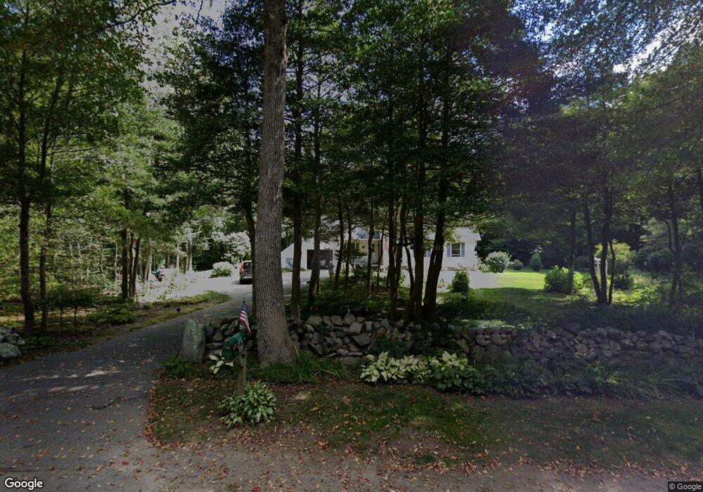
32 Sakonnet Trail Little Compton, RI 02837
Estimated Value: $755,047 - $987,000
3
Beds
2
Baths
1,708
Sq Ft
$514/Sq Ft
Est. Value
About This Home
This home is located at 32 Sakonnet Trail, Little Compton, RI 02837 and is currently estimated at $878,012, approximately $514 per square foot. 32 Sakonnet Trail is a home located in Newport County with nearby schools including Wilbur & McMahon School.
Ownership History
Date
Name
Owned For
Owner Type
Purchase Details
Closed on
Apr 13, 1989
Sold by
Leeming Elwood
Bought by
Johnson Stephen
Current Estimated Value
Create a Home Valuation Report for This Property
The Home Valuation Report is an in-depth analysis detailing your home's value as well as a comparison with similar homes in the area
Home Values in the Area
Average Home Value in this Area
Purchase History
| Date | Buyer | Sale Price | Title Company |
|---|---|---|---|
| Johnson Stephen | $195,000 | -- |
Source: Public Records
Mortgage History
| Date | Status | Borrower | Loan Amount |
|---|---|---|---|
| Open | Johnson Stephen | $100,000 | |
| Closed | Johnson Stephen | $131,000 | |
| Closed | Johnson Stephen | $146,700 | |
| Closed | Johnson Stephen | $148,000 |
Source: Public Records
Tax History
| Year | Tax Paid | Tax Assessment Tax Assessment Total Assessment is a certain percentage of the fair market value that is determined by local assessors to be the total taxable value of land and additions on the property. | Land | Improvement |
|---|---|---|---|---|
| 2025 | $2,871 | $599,300 | $232,900 | $366,400 |
| 2024 | $2,648 | $521,300 | $193,100 | $328,200 |
| 2023 | $2,586 | $521,300 | $193,100 | $328,200 |
| 2022 | $2,511 | $512,500 | $193,100 | $319,400 |
| 2021 | $2,270 | $375,800 | $168,700 | $207,100 |
| 2020 | $2,251 | $375,800 | $168,700 | $207,100 |
| 2019 | $2,228 | $375,800 | $168,700 | $207,100 |
| 2018 | $2,115 | $354,800 | $168,700 | $186,100 |
| 2016 | $2,012 | $354,800 | $168,700 | $186,100 |
| 2015 | $2,115 | $367,900 | $161,500 | $206,400 |
| 2014 | $2,075 | $367,900 | $161,500 | $206,400 |
Source: Public Records
Map
Nearby Homes
- 502 Southlake Rd
- 90 Two Rod Rd
- 140I Long Hwy
- 140 Long Hwy
- 127 Preservation Way
- 116 Amy Hart Path
- 17 Amy Hart Path
- 24 Peaceful Way
- 141 Peckham Rd
- 184 Field Stone Ln
- 164 Stoney Hollow Rd
- 505 Long Hwy
- 0 Willow Ave
- 245 John Dyer Rd
- 3622 Main Rd
- 180 W Main Rd
- 1282 East Rd
- 394 Lake Rd
- 17 Quail Trail
- 155 W Main Rd
- 36 Sakonnet Trail
- 36 Sakonnet Terrace Terrace
- 26 Sakonnet Trail
- 25 Sakonnet Trail
- 22 Sakonnet Trail
- 59 Oak Forest Dr
- 37 Sakonnet Trail
- 51 Oak Forest Dr
- 45 Sakonnet Trail
- 21 Sakonnet Trail
- 45 Oak Forest Dr
- 18 Sakonnet Trail
- 54 Oak Forest Dr
- 60 Oak Forest Dr
- 12 Sakonnet Trail
- 46 Oak Forest Dr
- 64 Oak Forest Dr
- 30 Pachet Brook Rd
- 5 Sakonnet Trail
- 8 Sakonnet Trail
Your Personal Tour Guide
Ask me questions while you tour the home.