32 Salem Rd Westford, MA 01886
Estimated Value: $793,000 - $866,000
4
Beds
3
Baths
2,280
Sq Ft
$362/Sq Ft
Est. Value
About This Home
This home is located at 32 Salem Rd, Westford, MA 01886 and is currently estimated at $824,466, approximately $361 per square foot. 32 Salem Rd is a home located in Middlesex County with nearby schools including Nabnasset Elementary, Abbot Elementary School, and Stony Brook School.
Ownership History
Date
Name
Owned For
Owner Type
Purchase Details
Closed on
Feb 16, 2021
Sold by
Caster Craig E and Caster Marcia J
Bought by
Fordyce Kara A and Fordyce Raymond F
Current Estimated Value
Home Financials for this Owner
Home Financials are based on the most recent Mortgage that was taken out on this home.
Original Mortgage
$533,000
Outstanding Balance
$476,710
Interest Rate
2.7%
Mortgage Type
Purchase Money Mortgage
Estimated Equity
$347,756
Purchase Details
Closed on
May 23, 1994
Sold by
Burke Howard T
Bought by
Caster Craig and Caster Marcia
Create a Home Valuation Report for This Property
The Home Valuation Report is an in-depth analysis detailing your home's value as well as a comparison with similar homes in the area
Home Values in the Area
Average Home Value in this Area
Purchase History
| Date | Buyer | Sale Price | Title Company |
|---|---|---|---|
| Fordyce Kara A | $621,000 | None Available | |
| Caster Craig | $110,000 | -- |
Source: Public Records
Mortgage History
| Date | Status | Borrower | Loan Amount |
|---|---|---|---|
| Open | Fordyce Kara A | $533,000 | |
| Previous Owner | Caster Craig | $310,786 | |
| Previous Owner | Caster Craig | $319,200 |
Source: Public Records
Tax History Compared to Growth
Tax History
| Year | Tax Paid | Tax Assessment Tax Assessment Total Assessment is a certain percentage of the fair market value that is determined by local assessors to be the total taxable value of land and additions on the property. | Land | Improvement |
|---|---|---|---|---|
| 2025 | $8,532 | $619,600 | $291,000 | $328,600 |
| 2024 | $8,532 | $619,600 | $291,000 | $328,600 |
| 2023 | $8,443 | $572,000 | $277,300 | $294,700 |
| 2022 | $8,469 | $525,400 | $237,400 | $288,000 |
| 2021 | $8,065 | $484,700 | $237,400 | $247,300 |
| 2020 | $7,915 | $484,700 | $237,400 | $247,300 |
| 2019 | $7,760 | $468,600 | $237,400 | $231,200 |
| 2018 | $7,415 | $458,300 | $227,100 | $231,200 |
| 2017 | $7,565 | $461,000 | $227,100 | $233,900 |
| 2016 | $7,304 | $448,100 | $214,100 | $234,000 |
| 2015 | $6,910 | $425,500 | $204,800 | $220,700 |
| 2014 | $6,585 | $396,700 | $196,700 | $200,000 |
Source: Public Records
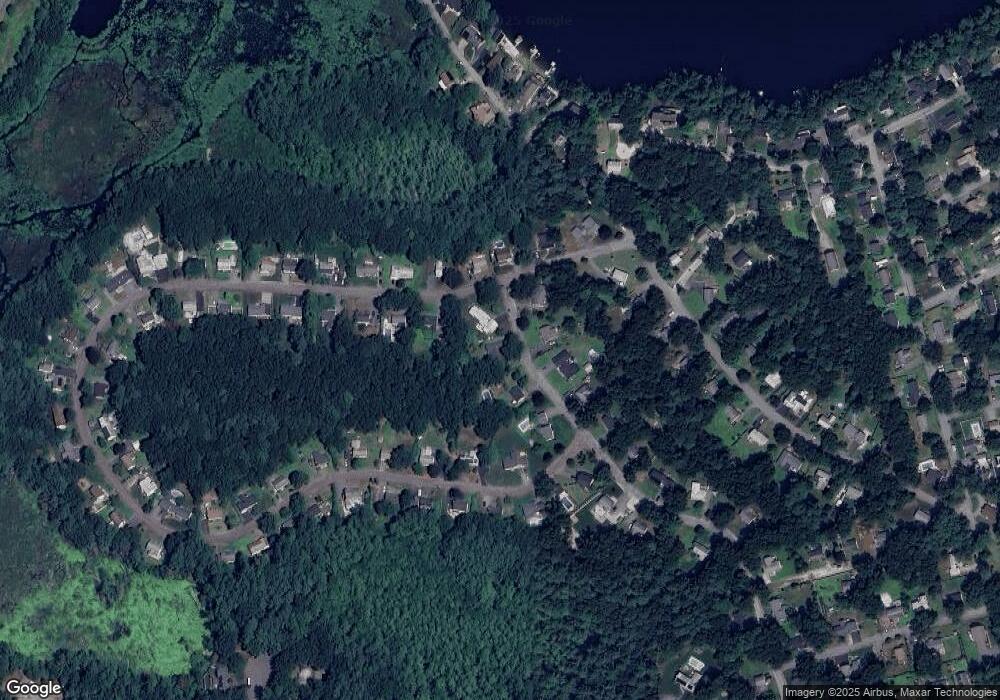
Map
Nearby Homes
- 55 Lawson Rd
- 41 Plain Rd
- 5 Fawn Rd
- 8 Loon Way
- 3 Loon Way
- 36 Elm Rd
- 427 Groton Rd
- 16 Shipley Cir
- 2 Alder Point Unit 2
- 10 Gassett Rd
- 6 Lady Constance Way
- 6 Lady Constance Way Unit 21
- 24 Dunstable Rd
- 4 Lady Constance Way Unit 20
- Williamstown Plan at Wendell Place
- Copley Plan at Wendell Place
- 6 Plain Rd
- 2 Lady Constance Way Unit 19
- 2 Wendell Place Unit 1
- 1 Appian Way