32 Shallow Branch Rd Leicester, NC 28748
Estimated Value: $361,000 - $477,000
3
Beds
2
Baths
1,601
Sq Ft
$278/Sq Ft
Est. Value
About This Home
This home is located at 32 Shallow Branch Rd, Leicester, NC 28748 and is currently estimated at $445,567, approximately $278 per square foot. 32 Shallow Branch Rd is a home with nearby schools including Leicester Elementary School, Clyde A. Erwin High School, and Clyde A. Erwin Middle School.
Ownership History
Date
Name
Owned For
Owner Type
Purchase Details
Closed on
Jan 29, 2016
Sold by
Gregg Arnold D and Gregg Mary Ann
Bought by
Gregg Matthew D
Current Estimated Value
Home Financials for this Owner
Home Financials are based on the most recent Mortgage that was taken out on this home.
Original Mortgage
$154,400
Outstanding Balance
$123,244
Interest Rate
3.99%
Mortgage Type
New Conventional
Estimated Equity
$322,323
Create a Home Valuation Report for This Property
The Home Valuation Report is an in-depth analysis detailing your home's value as well as a comparison with similar homes in the area
Home Values in the Area
Average Home Value in this Area
Purchase History
| Date | Buyer | Sale Price | Title Company |
|---|---|---|---|
| Gregg Matthew D | $193,000 | None Available |
Source: Public Records
Mortgage History
| Date | Status | Borrower | Loan Amount |
|---|---|---|---|
| Open | Gregg Matthew D | $154,400 |
Source: Public Records
Tax History Compared to Growth
Tax History
| Year | Tax Paid | Tax Assessment Tax Assessment Total Assessment is a certain percentage of the fair market value that is determined by local assessors to be the total taxable value of land and additions on the property. | Land | Improvement |
|---|---|---|---|---|
| 2025 | $1,486 | $225,900 | $44,500 | $181,400 |
| 2024 | $1,486 | $225,900 | $44,500 | $181,400 |
| 2023 | $1,486 | $225,900 | $44,500 | $181,400 |
| 2022 | $1,419 | $225,900 | $44,500 | $181,400 |
| 2021 | $1,419 | $225,900 | $0 | $0 |
| 2020 | $1,424 | $212,900 | $0 | $0 |
| 2019 | $1,424 | $212,900 | $0 | $0 |
| 2018 | $1,424 | $212,900 | $0 | $0 |
| 2017 | $1,446 | $199,100 | $0 | $0 |
| 2016 | $1,481 | $199,100 | $0 | $0 |
| 2015 | $256 | $34,400 | $0 | $0 |
| 2014 | $246 | $34,400 | $0 | $0 |
Source: Public Records
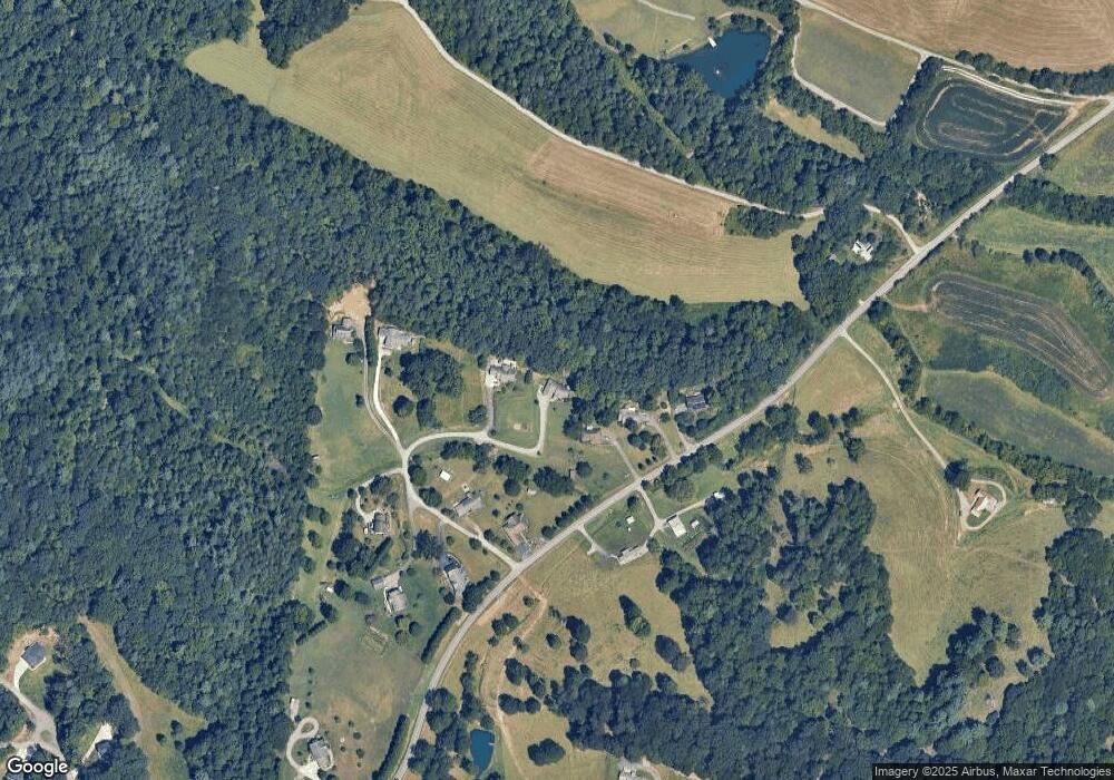
Map
Nearby Homes
- 111 Oak Mountain Dr
- 132 Rabbit Ham Rd
- 185 Blossom Ridge
- 61 Brooks Branch Rd
- 529 Old Newfound Rd
- 605 Newfound Rd
- 36 Brooks Branch Rd
- 25 View Ridge Pkwy
- 99999 Oak Trails Pass
- 128 Oak Trails Pass
- 19 Mossy Rock Ln Unit 76
- 99999 Green Valley Rd
- 11 Farm Cove Ln
- 127 View Ridge Pkwy
- 171 View Ridge Pkwy
- 4 Tremorra Trail Unit 17
- 263 Morgan Branch Rd
- 298 S Turkey Creek Rd
- 51 Homefire Cove
- 00 Potato Branch Rd
- 30 Shallow Branch Rd
- 229 Browntown Rd
- 227 Browntown Rd
- 28 Shallow Branch Rd
- 245 Browntown Rd
- 9 Shallow Branch Rd
- 225 Browntown Rd
- 22 Shallow Branch Rd
- 4 Shallow Branch Rd
- 10 Shallow Branch Rd
- 18 Shallow Branch Rd
- 257 Browntown Rd
- 185 Browntown Rd
- 72 Ruby Brown Ln
- 198 Browntown Rd
- 275 Browntown Rd
- 181 Browntown Rd
- 295 Browntown Rd
- 31 Oak Mountain Dr Unit 4
- 31 Oak Mountain Dr