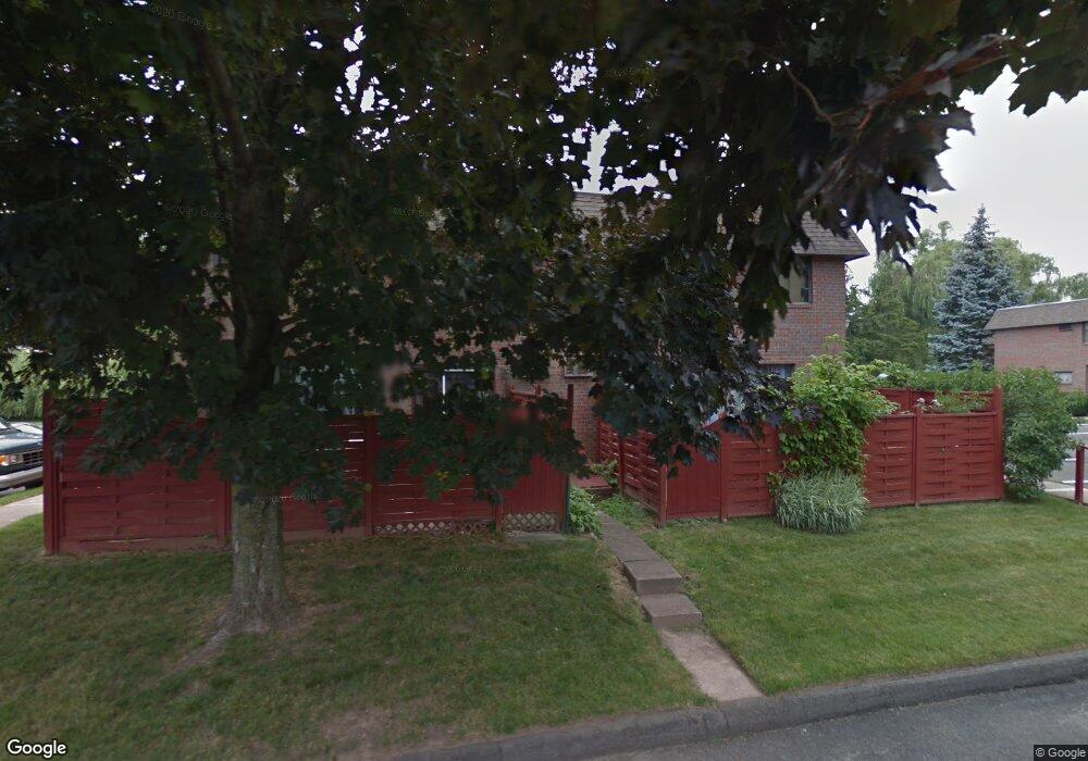
32 Sharon Ln Wethersfield, CT 06109
Estimated Value: $241,000 - $251,000
2
Beds
2
Baths
1,223
Sq Ft
$201/Sq Ft
Est. Value
About This Home
This home is located at 32 Sharon Ln, Wethersfield, CT 06109 and is currently estimated at $245,465, approximately $200 per square foot. 32 Sharon Ln is a home located in Hartford County with nearby schools including Alfred W. Hanmer School, Silas Deane Middle School, and Wethersfield High School.
Ownership History
Date
Name
Owned For
Owner Type
Purchase Details
Closed on
Jan 3, 2000
Sold by
Murning Richard T
Bought by
Mcmanus Gerald and Mcmanus Anne B
Current Estimated Value
Purchase Details
Closed on
Aug 2, 1999
Sold by
Shapiro Barbara M
Bought by
Murning Richard T
Purchase Details
Closed on
Jul 16, 1993
Sold by
Chellstorp Eric J and Chelstorp Karin C
Bought by
Shapiro Barbara M
Purchase Details
Closed on
Sep 11, 1987
Sold by
Isabelle Arthur W
Bought by
Chellstorp Eric J
Create a Home Valuation Report for This Property
The Home Valuation Report is an in-depth analysis detailing your home's value as well as a comparison with similar homes in the area
Home Values in the Area
Average Home Value in this Area
Purchase History
| Date | Buyer | Sale Price | Title Company |
|---|---|---|---|
| Mcmanus Gerald | $78,000 | -- | |
| Murning Richard T | $72,000 | -- | |
| Shapiro Barbara M | $82,000 | -- | |
| Chellstorp Eric J | $110,500 | -- |
Source: Public Records
Mortgage History
| Date | Status | Borrower | Loan Amount |
|---|---|---|---|
| Open | Chellstorp Eric J | $70,000 | |
| Open | Chellstorp Eric J | $107,000 | |
| Closed | Chellstorp Eric J | $75,000 |
Source: Public Records
Tax History
| Year | Tax Paid | Tax Assessment Tax Assessment Total Assessment is a certain percentage of the fair market value that is determined by local assessors to be the total taxable value of land and additions on the property. | Land | Improvement |
|---|---|---|---|---|
| 2025 | $5,352 | $129,830 | $0 | $129,830 |
| 2024 | $2,776 | $64,230 | $0 | $64,230 |
| 2023 | $2,684 | $64,230 | $0 | $64,230 |
| 2022 | $2,639 | $64,230 | $0 | $64,230 |
| 2021 | $2,612 | $64,230 | $0 | $64,230 |
| 2020 | $2,614 | $64,230 | $0 | $64,230 |
| 2019 | $2,617 | $64,230 | $0 | $64,230 |
| 2018 | $3,042 | $74,600 | $0 | $74,600 |
| 2017 | $2,967 | $74,600 | $0 | $74,600 |
| 2016 | $2,875 | $74,600 | $0 | $74,600 |
| 2015 | $2,849 | $74,600 | $0 | $74,600 |
| 2014 | $2,741 | $74,600 | $0 | $74,600 |
Source: Public Records
Map
Nearby Homes
- 147 Spring St
- 131 Coleman Rd
- 108 Chamberlain Rd
- 35 Stillwold Dr
- 195 Middletown Ave
- 91 Somerset St
- 87 Somerset St
- 750 Wolcott Hill Rd
- 31 Ox Yoke Dr
- 38 Wheeler Rd
- 137 Dale Rd
- 250 Edward St
- 1 Fernwood St
- 11 Charter Rd
- 23 Hillcrest Ave
- 317-319 Garden St
- 89 Merriman Rd
- 455 Brimfield Rd
- 192 Wolcott Hill Rd
- 18 Avalon Place
Your Personal Tour Guide
Ask me questions while you tour the home.