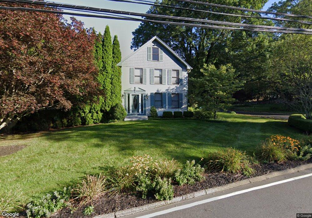
32 Sharp Hill Rd Uncasville, CT 06382
Oxoboxo River NeighborhoodEstimated Value: $512,971 - $583,000
4
Beds
4
Baths
2,918
Sq Ft
$188/Sq Ft
Est. Value
About This Home
This home is located at 32 Sharp Hill Rd, Uncasville, CT 06382 and is currently estimated at $547,243, approximately $187 per square foot. 32 Sharp Hill Rd is a home located in New London County with nearby schools including Leonard J. Tyl Middle School, Montville High School, and Bradley School-New London Regional.
Ownership History
Date
Name
Owned For
Owner Type
Purchase Details
Closed on
Apr 7, 2010
Sold by
Weduco Farms Inc
Bought by
Amos Lake Dev Llc
Current Estimated Value
Create a Home Valuation Report for This Property
The Home Valuation Report is an in-depth analysis detailing your home's value as well as a comparison with similar homes in the area
Home Values in the Area
Average Home Value in this Area
Purchase History
| Date | Buyer | Sale Price | Title Company |
|---|---|---|---|
| Amos Lake Dev Llc | $19,000 | -- | |
| Amos Lake Dev Llc | $19,000 | -- |
Source: Public Records
Mortgage History
| Date | Status | Borrower | Loan Amount |
|---|---|---|---|
| Previous Owner | Amos Lake Dev Llc | $140,000 | |
| Previous Owner | Amos Lake Dev Llc | $45,000 | |
| Previous Owner | Amos Lake Dev Llc | $185,000 |
Source: Public Records
Tax History
| Year | Tax Paid | Tax Assessment Tax Assessment Total Assessment is a certain percentage of the fair market value that is determined by local assessors to be the total taxable value of land and additions on the property. | Land | Improvement |
|---|---|---|---|---|
| 2025 | $7,679 | $266,000 | $35,280 | $230,720 |
| 2024 | $7,387 | $266,000 | $35,280 | $230,720 |
| 2023 | $7,387 | $266,000 | $35,280 | $230,720 |
| 2022 | $7,105 | $266,000 | $35,280 | $230,720 |
| 2021 | $7,403 | $233,160 | $41,190 | $191,970 |
| 2020 | $7,550 | $233,160 | $41,190 | $191,970 |
| 2019 | $7,580 | $233,160 | $41,190 | $191,970 |
| 2018 | $7,398 | $233,160 | $41,190 | $191,970 |
| 2017 | $6,947 | $219,150 | $41,190 | $177,960 |
| 2016 | $6,181 | $201,940 | $51,490 | $150,450 |
| 2015 | $6,181 | $201,940 | $51,490 | $150,450 |
| 2014 | $5,931 | $201,940 | $51,490 | $150,450 |
Source: Public Records
Map
Nearby Homes
- 320 Maple Ave
- 52 Carol Dr
- 355 Route 163
- 0 Monahan Dr
- 76 Gay Hill Rd
- 31 Bridge St
- 2 Fawns Meadow Rd
- 79 Cottonwood Ln
- 66 Rainbow Dr
- 18 Hillcrest Dr
- 82C Pires Dr
- 901 Old Colchester Rd
- 19 Moxley Rd
- 16 Greystone Dr
- 107 Woodland Dr Unit B
- 11 Blumenthal Dr
- 197 Norwich-New London Turnpike
- 4 Brewer St
- 1465 Norwich New London (Rte 32) Turnpike
- 63 Velgouse Rd
- 28 Sharp Hill Rd
- 39 Sharp Hill Rd
- 24 Sharp Hill Rd
- 45 Sharp Hill Rd
- 42 Sharp Hill Rd
- 27 Sharp Hill Rd
- 21 Sharp Hill Rd
- 19 Sharp Hill Rd
- 14 Sharp Hill Rd
- 48 Sharp Hill Rd
- 15 Sharp Hill Rd
- 10 Sharp Hill Rd
- 55 Sharp Hill Rd
- 376 Maple Ave
- 390 Maple Ave
- 364 Maple Ave
- 11 Elton Ct
- 392 Maple Ave
- 348 Maple Ave
- 59 Sharp Hill Rd
Your Personal Tour Guide
Ask me questions while you tour the home.