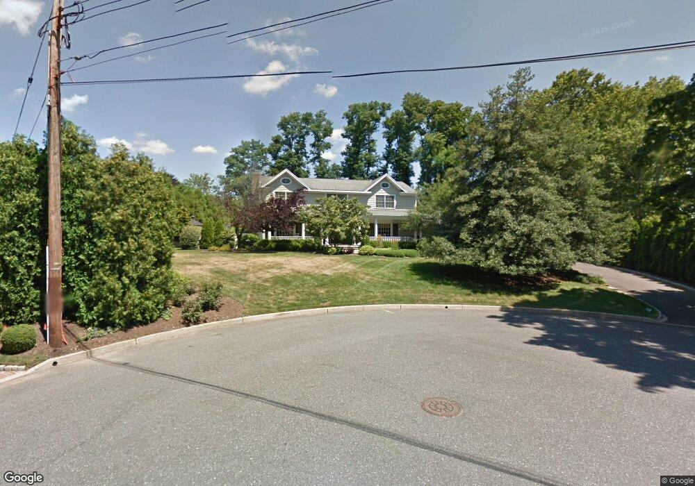
32 Sherwood Cir Little Silver, NJ 07739
Estimated Value: $1,318,000 - $1,974,390
4
Beds
2
Baths
3,266
Sq Ft
$502/Sq Ft
Est. Value
About This Home
This home is located at 32 Sherwood Cir, Little Silver, NJ 07739 and is currently estimated at $1,638,848, approximately $501 per square foot. 32 Sherwood Cir is a home located in Monmouth County with nearby schools including Point Road School, Markham Place School, and Red Bank Regional High School.
Ownership History
Date
Name
Owned For
Owner Type
Purchase Details
Closed on
Apr 1, 1996
Sold by
Sanderson Benjamin
Bought by
Burton Scott and Burton Ida
Current Estimated Value
Home Financials for this Owner
Home Financials are based on the most recent Mortgage that was taken out on this home.
Original Mortgage
$256,000
Outstanding Balance
$12,038
Interest Rate
7.34%
Estimated Equity
$1,626,810
Create a Home Valuation Report for This Property
The Home Valuation Report is an in-depth analysis detailing your home's value as well as a comparison with similar homes in the area
Home Values in the Area
Average Home Value in this Area
Purchase History
| Date | Buyer | Sale Price | Title Company |
|---|---|---|---|
| Burton Scott | $320,000 | -- |
Source: Public Records
Mortgage History
| Date | Status | Borrower | Loan Amount |
|---|---|---|---|
| Open | Burton Scott | $256,000 |
Source: Public Records
Tax History Compared to Growth
Tax History
| Year | Tax Paid | Tax Assessment Tax Assessment Total Assessment is a certain percentage of the fair market value that is determined by local assessors to be the total taxable value of land and additions on the property. | Land | Improvement |
|---|---|---|---|---|
| 2025 | $26,049 | $1,722,700 | $864,600 | $858,100 |
| 2024 | $25,420 | $1,543,200 | $644,300 | $898,900 |
| 2023 | $25,420 | $1,412,200 | $534,300 | $877,900 |
| 2022 | $21,848 | $1,260,200 | $424,300 | $835,900 |
| 2021 | $21,848 | $1,167,800 | $424,300 | $743,500 |
| 2020 | $23,331 | $1,151,000 | $424,300 | $726,700 |
| 2019 | $22,620 | $1,136,700 | $424,300 | $712,400 |
| 2018 | $22,048 | $1,103,500 | $424,300 | $679,200 |
| 2017 | $21,743 | $1,082,800 | $424,300 | $658,500 |
| 2016 | $21,153 | $1,066,200 | $424,300 | $641,900 |
| 2015 | $21,814 | $1,085,800 | $391,300 | $694,500 |
| 2014 | $21,227 | $987,300 | $391,300 | $596,000 |
Source: Public Records
Map
Nearby Homes
- 30 Crest Dr
- 85 Tower Hill Dr Unit 608
- 83 Tower Hill Dr
- 132 Harrison Ave
- 135 Harrison Ave
- 40 Worthley St
- 57 John St
- 4 Manor Dr
- 69 Harvard Rd
- 199 Pinckney Rd
- 172 Woods End Dr
- 32 Woodbine Ave
- 91 Forrest Ave
- 94 Park Ave
- 82 Linden Place
- 82 Ridge Rd
- 69 Washington St
- 65 Washington St
- 87 Rumson Rd
- 58 Hudson Ave
- 28 Sherwood Cir
- 264 Prospect Ave
- 36 Sherwood Cir
- 32 Nottingham Way
- 24 Sherwood Rd
- 333 Harding Rd
- 272 Prospect Ave
- 294 Harding Rd
- 300 Harding Rd
- 44 Nottingham Way
- 219 Prospect Ave
- 20 Sherwood Rd
- 19 Sherwood Rd
- 276 Prospect Ave
- 229 Prospect Ave
- 308 Harding Rd
- 284 Harding Rd
- 194 Prospect Ave
- 14 Hillside Place
- 321 Harding Rd