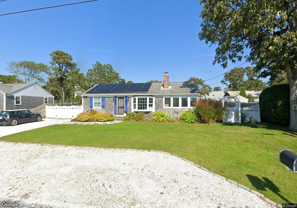
32 Shore Rd West Dennis, MA 02670
West Dennis NeighborhoodEstimated Value: $724,000 - $918,000
3
Beds
1
Bath
800
Sq Ft
$1,030/Sq Ft
Est. Value
About This Home
This home is located at 32 Shore Rd, West Dennis, MA 02670 and is currently estimated at $823,928, approximately $1,029 per square foot. 32 Shore Rd is a home located in Barnstable County with nearby schools including Dennis-Yarmouth Regional High School and St. Pius X. School.
Ownership History
Date
Name
Owned For
Owner Type
Purchase Details
Closed on
Dec 29, 2018
Sold by
Marzulli Anthony F
Bought by
Burns Thomas G and Burns Ellen S
Current Estimated Value
Home Financials for this Owner
Home Financials are based on the most recent Mortgage that was taken out on this home.
Original Mortgage
$365,000
Outstanding Balance
$322,199
Interest Rate
4.8%
Mortgage Type
New Conventional
Estimated Equity
$501,729
Purchase Details
Closed on
Mar 5, 2002
Sold by
Logan Brian J and Logan Michele L
Bought by
Marzulli Anthony F
Purchase Details
Closed on
Sep 11, 1992
Sold by
Smith Robert E and Smith Ruth H
Bought by
Logan Brian J and Logan Michele L
Create a Home Valuation Report for This Property
The Home Valuation Report is an in-depth analysis detailing your home's value as well as a comparison with similar homes in the area
Home Values in the Area
Average Home Value in this Area
Purchase History
| Date | Buyer | Sale Price | Title Company |
|---|---|---|---|
| Burns Thomas G | $470,000 | -- | |
| Marzulli Anthony F | $282,000 | -- | |
| Logan Brian J | $126,500 | -- |
Source: Public Records
Mortgage History
| Date | Status | Borrower | Loan Amount |
|---|---|---|---|
| Open | Burns Thomas G | $365,000 | |
| Previous Owner | Logan Brian J | $40,544 | |
| Previous Owner | Logan Brian J | $202,400 | |
| Previous Owner | Logan Brian J | $254,427 |
Source: Public Records
Tax History Compared to Growth
Tax History
| Year | Tax Paid | Tax Assessment Tax Assessment Total Assessment is a certain percentage of the fair market value that is determined by local assessors to be the total taxable value of land and additions on the property. | Land | Improvement |
|---|---|---|---|---|
| 2025 | $3,338 | $770,800 | $386,600 | $384,200 |
| 2024 | $2,900 | $660,700 | $309,800 | $350,900 |
| 2023 | $2,806 | $600,800 | $281,700 | $319,100 |
| 2022 | $2,731 | $487,600 | $253,700 | $233,900 |
| 2021 | $2,672 | $443,200 | $248,800 | $194,400 |
| 2020 | $3,023 | $495,600 | $276,400 | $219,200 |
| 2019 | $2,876 | $466,200 | $271,000 | $195,200 |
| 2018 | $2,747 | $433,300 | $258,000 | $175,300 |
| 2017 | $2,472 | $402,000 | $232,200 | $169,800 |
| 2016 | $2,474 | $378,900 | $237,300 | $141,600 |
| 2015 | $2,425 | $378,900 | $237,300 | $141,600 |
| 2014 | $2,368 | $372,900 | $237,300 | $135,600 |
Source: Public Records
Map
Nearby Homes
- 2 Rita Mary Way
- 14 Schoolhouse Ln
- 209 Main St Unit 3
- 209 Main St Unit 6
- 209 Main St Unit 1
- 209 Main St Unit 2
- 209 Main St Unit 4
- 209 Main St Unit 5
- 178 School St
- 23 Doric Ave
- 308 Old Main St
- 181 Pleasant St
- 401 Main St Unit 201
- 401 Main St Unit 101
- 45 Seth Ln
- 40 Kelley Rd
- 467 Main St
- 29 Bass River Rd
- 22 Powhatan Rd
- 18 Turner Ln