32 Silverbrook Rd Boxford, MA 01921
Estimated Value: $797,428 - $1,052,000
4
Beds
3
Baths
2,700
Sq Ft
$346/Sq Ft
Est. Value
About This Home
This home is located at 32 Silverbrook Rd, Boxford, MA 01921 and is currently estimated at $933,357, approximately $345 per square foot. 32 Silverbrook Rd is a home located in Essex County with nearby schools including Harry Lee Cole and Spofford Pond School.
Ownership History
Date
Name
Owned For
Owner Type
Purchase Details
Closed on
Jun 27, 2002
Sold by
Woodbury Constance
Bought by
Kelly Patrick W and Blake Bethany A
Current Estimated Value
Home Financials for this Owner
Home Financials are based on the most recent Mortgage that was taken out on this home.
Original Mortgage
$243,000
Interest Rate
6.92%
Mortgage Type
Purchase Money Mortgage
Purchase Details
Closed on
Jul 31, 1996
Sold by
Donnelly David W and Donnelly Jacquelyn M
Bought by
Woodbury Constance
Create a Home Valuation Report for This Property
The Home Valuation Report is an in-depth analysis detailing your home's value as well as a comparison with similar homes in the area
Home Values in the Area
Average Home Value in this Area
Purchase History
| Date | Buyer | Sale Price | Title Company |
|---|---|---|---|
| Kelly Patrick W | $440,000 | -- | |
| Woodbury Constance | $267,000 | -- |
Source: Public Records
Mortgage History
| Date | Status | Borrower | Loan Amount |
|---|---|---|---|
| Open | Woodbury Constance | $225,000 | |
| Closed | Woodbury Constance | $60,000 | |
| Closed | Woodbury Constance | $243,000 |
Source: Public Records
Tax History
| Year | Tax Paid | Tax Assessment Tax Assessment Total Assessment is a certain percentage of the fair market value that is determined by local assessors to be the total taxable value of land and additions on the property. | Land | Improvement |
|---|---|---|---|---|
| 2025 | $8,861 | $658,800 | $329,000 | $329,800 |
| 2024 | $8,597 | $658,800 | $329,000 | $329,800 |
| 2023 | $8,368 | $604,600 | $293,700 | $310,900 |
| 2022 | $8,147 | $535,300 | $244,700 | $290,600 |
| 2021 | $7,766 | $485,100 | $222,600 | $262,500 |
| 2020 | $7,606 | $470,400 | $222,600 | $247,800 |
| 2019 | $7,422 | $455,900 | $211,900 | $244,000 |
| 2018 | $6,935 | $428,100 | $211,900 | $216,200 |
| 2017 | $6,757 | $414,300 | $201,700 | $212,600 |
| 2016 | $6,388 | $388,100 | $201,700 | $186,400 |
| 2015 | $6,060 | $379,000 | $201,700 | $177,300 |
Source: Public Records
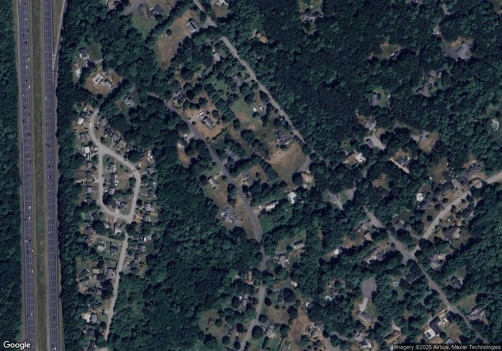
Map
Nearby Homes
- 30 Surrey Ln
- 40 Curtis Rd
- 3 Antoria Way
- 34 Wildmeadow Rd
- 20-B Wildmeadow Rd
- 36 Main St Unit 1
- 3 Summer St
- 3 Summer St Unit 2
- 17 1/2 Averill St
- 146 Ipswich Rd
- 180 Rowley Bridge Rd
- 12 Campmeeting Rd
- 3 Warren Dr
- 117 Perkins Row
- 207 Rowley Bridge Rd
- 5 Cobblers Ln
- 10 Fairway Dr Unit 10
- 16 Fairway Dr Unit 16
- 4 Ruby Cir
- 244 Rowley Bridge Rd
- 30 Silverbrook Rd
- 36 Silverbrook Rd
- 31 Silverbrook Rd
- 35 Silverbrook Rd
- 171 Topsfield Rd
- 173 Topsfield Rd
- 167 Topsfield Rd
- 25 Silverbrook Rd
- 24 Silverbrook Rd
- 40 Silverbrook Rd
- 181 Topsfield Rd
- 181 Topsfield Rd
- 163 Topsfield Rd
- 43 Silverbrook Rd
- 18 Andrews Farm Rd
- 20 Andrews Farm Rd
- 16 Andrews Farm Rd
- 22 Andrews Farm Rd
- 176 Topsfield Rd
- 14 Andrews Farm Rd
Your Personal Tour Guide
Ask me questions while you tour the home.