32 Simons Pond Rd Colebrook, CT 06021
Estimated Value: $404,102 - $481,000
2
Beds
2
Baths
1,706
Sq Ft
$261/Sq Ft
Est. Value
About This Home
This home is located at 32 Simons Pond Rd, Colebrook, CT 06021 and is currently estimated at $445,367, approximately $261 per square foot. 32 Simons Pond Rd is a home located in Litchfield County with nearby schools including Colebrook Consolidated School, Northwestern Regional Middle School, and Northwestern Regional High School.
Ownership History
Date
Name
Owned For
Owner Type
Purchase Details
Closed on
Mar 11, 1996
Sold by
Picard Neil A
Bought by
Coleman Gordon S and Garrity Colleen C
Current Estimated Value
Home Financials for this Owner
Home Financials are based on the most recent Mortgage that was taken out on this home.
Original Mortgage
$108,000
Interest Rate
7%
Mortgage Type
Unknown
Create a Home Valuation Report for This Property
The Home Valuation Report is an in-depth analysis detailing your home's value as well as a comparison with similar homes in the area
Home Values in the Area
Average Home Value in this Area
Purchase History
| Date | Buyer | Sale Price | Title Company |
|---|---|---|---|
| Coleman Gordon S | $27,500 | -- |
Source: Public Records
Mortgage History
| Date | Status | Borrower | Loan Amount |
|---|---|---|---|
| Closed | Coleman Gordon S | $100,500 | |
| Closed | Coleman Gordon S | $108,000 |
Source: Public Records
Tax History
| Year | Tax Paid | Tax Assessment Tax Assessment Total Assessment is a certain percentage of the fair market value that is determined by local assessors to be the total taxable value of land and additions on the property. | Land | Improvement |
|---|---|---|---|---|
| 2025 | $5,746 | $170,500 | $36,500 | $134,000 |
| 2024 | $5,456 | $170,500 | $36,500 | $134,000 |
| 2023 | $5,661 | $170,500 | $36,500 | $134,000 |
| 2022 | $5,499 | $170,500 | $36,500 | $134,000 |
| 2021 | $5,268 | $170,500 | $36,500 | $134,000 |
| 2020 | $5,309 | $171,800 | $41,800 | $130,000 |
| 2019 | $5,309 | $171,800 | $41,800 | $130,000 |
| 2018 | $5,219 | $168,900 | $41,800 | $127,100 |
| 2017 | $5,219 | $168,900 | $41,800 | $127,100 |
| 2016 | $4,949 | $168,900 | $41,800 | $127,100 |
| 2015 | $5,165 | $185,800 | $52,900 | $132,900 |
| 2014 | $5,165 | $185,800 | $52,900 | $132,900 |
Source: Public Records
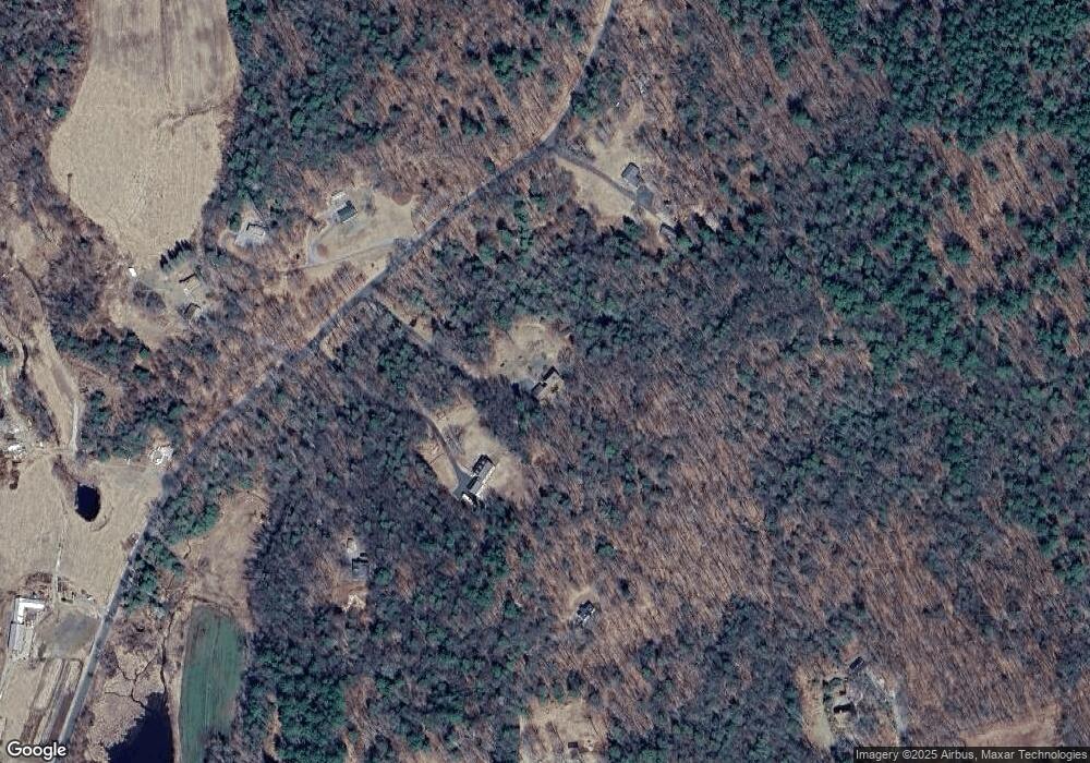
Map
Nearby Homes
- 425 Colebrook River Rd
- 0 Prock Hill Rd
- 11 Shantry Rd
- 50 Pine Rd
- 19 Roberts Rd
- 1282 Burt Hill Rd
- 82 Riverton Rd
- 106A Pinney St
- 186 Mill St
- 266 Old Forge Rd
- 14 Roosterville Rd
- 208 Old Forge Rd
- 153 Owls Nest Ln
- 0 Old Robertsville Rd
- 115 Old Robertsville Rd
- 200 Fox Den Rd
- 0 Winsted Norfolk Rd Unit 24089254
- 210 Doolittle Dr
- 96 New Hartford Rd
- 70 Colebrook Rd
- 28 Simons Pond Rd
- 124A Beech Hill Rd
- 35 Simons Pond Rd
- 27 Simons Pond Rd
- 124 Beech Hill Rd
- 122 Beech Hill Rd
- 5 Moses Rd
- 63 Simons Pond Rd
- 120 Beech Hill Rd
- 132 Beech Hill Rd
- 130 Beech Hill Rd
- 116 Beech Hill Rd
- 132 Beech Hill Rd
- 110 Beech Hill Rd
- 119 Beech Hill Rd
- 46 Simons Pond Rd
- 7 Cobb City Rd
- 107 Beech Hill Rd
- 113 Beech Hill Rd
- 8 Moses Rd
Your Personal Tour Guide
Ask me questions while you tour the home.