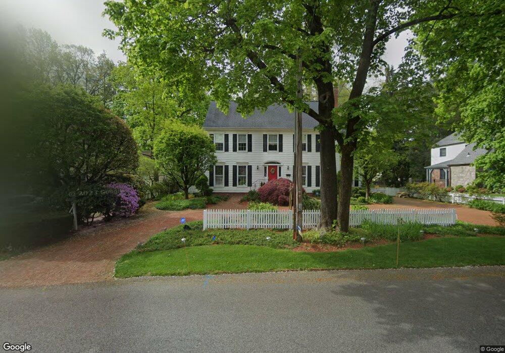
32 Simpson Rd Briarcliff Manor, NY 10510
Estimated Value: $906,537 - $1,414,000
4
Beds
3
Baths
4,112
Sq Ft
$303/Sq Ft
Est. Value
About This Home
This home is located at 32 Simpson Rd, Briarcliff Manor, NY 10510 and is currently estimated at $1,244,634, approximately $302 per square foot. 32 Simpson Rd is a home located in Westchester County with nearby schools including Todd Elementary School, Briarcliff Middle School, and Briarcliff High School.
Ownership History
Date
Name
Owned For
Owner Type
Purchase Details
Closed on
May 10, 2012
Sold by
Daly Trudy A
Bought by
Daly Trudy A
Current Estimated Value
Purchase Details
Closed on
Mar 30, 2007
Sold by
Rosebud Properties Inc
Bought by
Daly Trudy
Purchase Details
Closed on
Dec 13, 2001
Sold by
Horstmann Richard
Bought by
Rosebud Properties Inc
Purchase Details
Closed on
Sep 20, 2001
Sold by
Daly Thomas F and Daly Trudy A
Bought by
Horstmann Richard
Purchase Details
Closed on
Mar 28, 2001
Sold by
Daly Thomas F
Bought by
Daly Trudy A
Create a Home Valuation Report for This Property
The Home Valuation Report is an in-depth analysis detailing your home's value as well as a comparison with similar homes in the area
Home Values in the Area
Average Home Value in this Area
Purchase History
| Date | Buyer | Sale Price | Title Company |
|---|---|---|---|
| Daly Trudy A | -- | None Available | |
| Daly Trudy | -- | National Granite Title Insur | |
| Rosebud Properties Inc | $535,000 | The Judicial Title Ins Agenc | |
| Horstmann Richard | $616,000 | -- | |
| Daly Trudy A | -- | -- |
Source: Public Records
Tax History Compared to Growth
Tax History
| Year | Tax Paid | Tax Assessment Tax Assessment Total Assessment is a certain percentage of the fair market value that is determined by local assessors to be the total taxable value of land and additions on the property. | Land | Improvement |
|---|---|---|---|---|
| 2024 | $29,093 | $11,450 | $1,650 | $9,800 |
| 2023 | $28,404 | $11,450 | $1,650 | $9,800 |
| 2022 | $27,763 | $11,450 | $1,650 | $9,800 |
| 2021 | $25,738 | $11,450 | $1,650 | $9,800 |
| 2020 | $25,333 | $11,450 | $1,650 | $9,800 |
| 2019 | $25,307 | $11,450 | $1,650 | $9,800 |
| 2018 | $22,286 | $11,450 | $1,650 | $9,800 |
| 2017 | $3,465 | $11,450 | $1,650 | $9,800 |
| 2016 | $25,060 | $11,450 | $1,650 | $9,800 |
| 2015 | -- | $11,450 | $1,650 | $9,800 |
| 2014 | -- | $11,450 | $1,650 | $9,800 |
| 2013 | -- | $11,450 | $1,650 | $9,800 |
Source: Public Records
Map
Nearby Homes
- 345 Elm Rd
- 858 Pleasantville Rd
- 518 Pleasantville Rd
- 27 Hardscrabble Rd
- 37 Tulip Rd
- 10 Shadow Tree Ln
- 320 Cedar Dr W
- 417 Long Hill Rd E
- 134 Dalmeny Rd
- 7 Dunn Ln
- 333 N State Rd Unit 55
- 134 Pleasantville Rd
- 51 Choate Ln
- 76 Sarles Ln
- 24 Sleepy Hollow Rd
- 517 Old Chappaqua Rd
- 159 Sarles Ln
- 409 Central Dr
- 590 Bedford Rd Unit 7
- 500 Hardscrabble Rd