32 Solomans Dr Barnegat, NJ 08005
Barnegat Township NeighborhoodEstimated Value: $461,911 - $492,000
2
Beds
2
Baths
1,861
Sq Ft
$256/Sq Ft
Est. Value
About This Home
This home is located at 32 Solomans Dr, Barnegat, NJ 08005 and is currently estimated at $476,228, approximately $255 per square foot. 32 Solomans Dr is a home located in Ocean County with nearby schools including Barnegat High School.
Ownership History
Date
Name
Owned For
Owner Type
Purchase Details
Closed on
Jan 16, 2024
Sold by
Mcgreevey Barbara L
Bought by
Mcgreevey Family Residence Trust
Current Estimated Value
Purchase Details
Closed on
Dec 15, 2005
Sold by
Heritage Point Lp
Bought by
Mcgreevey Barbara L
Create a Home Valuation Report for This Property
The Home Valuation Report is an in-depth analysis detailing your home's value as well as a comparison with similar homes in the area
Home Values in the Area
Average Home Value in this Area
Purchase History
| Date | Buyer | Sale Price | Title Company |
|---|---|---|---|
| Mcgreevey Family Residence Trust | -- | None Listed On Document | |
| Mcgreevey Family Residence Trust | -- | None Listed On Document | |
| Mcgreevey Barbara L | $319,810 | -- |
Source: Public Records
Tax History
| Year | Tax Paid | Tax Assessment Tax Assessment Total Assessment is a certain percentage of the fair market value that is determined by local assessors to be the total taxable value of land and additions on the property. | Land | Improvement |
|---|---|---|---|---|
| 2025 | $7,710 | $259,000 | $93,000 | $166,000 |
| 2024 | $7,539 | $259,000 | $93,000 | $166,000 |
Source: Public Records
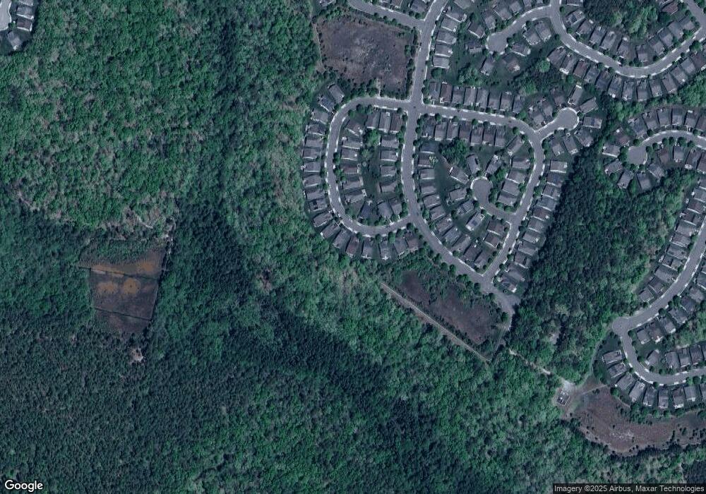
Map
Nearby Homes
- 34 Solomans Dr
- 28 Solomans Dr
- 38 Solomans Dr
- 31 Solomans Dr
- 26 Solomans Dr
- 40 Solomans Dr
- 37 Solomans Dr
- 25 Solomans Dr
- 24 Solomans Dr
- 42 Solomans Dr
- 41 Solomans Dr
- 22 Solomans Dr
- 21 Solomans Dr
- 20 Solomans Dr
- 50 Hatteras Way
- 17 Solomans Dr
- 53 Hatteras Way
- 48 Hatteras Way
- 51 Hatteras Way
- 18 Solomans Dr