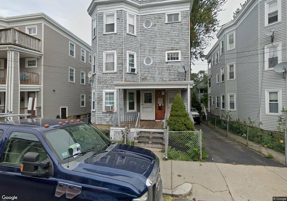
32 Stellman Rd Roslindale, MA 02131
Roslindale NeighborhoodEstimated Value: $1,018,000 - $1,129,000
2
Beds
3
Baths
1,000
Sq Ft
$1,089/Sq Ft
Est. Value
About This Home
This home is located at 32 Stellman Rd, Roslindale, MA 02131 and is currently estimated at $1,089,333, approximately $1,089 per square foot. 32 Stellman Rd is a home located in Suffolk County with nearby schools including Brooke Charter School Roslindale, The Croft School - Jamaica Plain, and Sacred Heart STEM School.
Ownership History
Date
Name
Owned For
Owner Type
Purchase Details
Closed on
Jul 17, 2024
Sold by
Rubinov Nina
Bought by
Stellman Road Rt and Rubinov
Current Estimated Value
Purchase Details
Closed on
Nov 1, 2021
Sold by
Rubinov Malkiel
Bought by
Rubinov Malkiel and Rubinov Nina
Purchase Details
Closed on
Sep 7, 2012
Sold by
Reis Richard
Bought by
Rubinov Malkiel
Purchase Details
Closed on
Jan 15, 1997
Sold by
Alr Rt
Bought by
Reis Richard and Reis Robin A
Home Financials for this Owner
Home Financials are based on the most recent Mortgage that was taken out on this home.
Original Mortgage
$121,450
Interest Rate
7.36%
Mortgage Type
Purchase Money Mortgage
Create a Home Valuation Report for This Property
The Home Valuation Report is an in-depth analysis detailing your home's value as well as a comparison with similar homes in the area
Home Values in the Area
Average Home Value in this Area
Purchase History
| Date | Buyer | Sale Price | Title Company |
|---|---|---|---|
| Stellman Road Rt | -- | None Available | |
| Stellman Road Rt | -- | None Available | |
| Rubinov Malkiel | -- | None Available | |
| Rubinov Malkiel | -- | None Available | |
| Rubinov Malkiel | $321,600 | -- | |
| Reis Richard | $85,000 | -- | |
| Reis Richard | $85,000 | -- |
Source: Public Records
Mortgage History
| Date | Status | Borrower | Loan Amount |
|---|---|---|---|
| Previous Owner | Reis Richard | $330,000 | |
| Previous Owner | Reis Richard | $260,000 | |
| Previous Owner | Reis Richard | $121,450 |
Source: Public Records
Tax History Compared to Growth
Tax History
| Year | Tax Paid | Tax Assessment Tax Assessment Total Assessment is a certain percentage of the fair market value that is determined by local assessors to be the total taxable value of land and additions on the property. | Land | Improvement |
|---|---|---|---|---|
| 2025 | $10,518 | $908,300 | $227,900 | $680,400 |
| 2024 | $9,704 | $890,300 | $240,800 | $649,500 |
| 2023 | $9,108 | $848,000 | $229,400 | $618,600 |
| 2022 | $8,783 | $807,300 | $218,400 | $588,900 |
| 2021 | $8,362 | $783,700 | $212,000 | $571,700 |
| 2020 | $7,202 | $682,000 | $204,000 | $478,000 |
| 2019 | $6,534 | $619,900 | $157,200 | $462,700 |
| 2018 | $6,073 | $579,500 | $157,200 | $422,300 |
| 2017 | $5,841 | $551,600 | $157,200 | $394,400 |
| 2016 | $5,778 | $525,300 | $157,200 | $368,100 |
| 2015 | $5,247 | $433,300 | $119,100 | $314,200 |
| 2014 | $4,724 | $375,500 | $119,100 | $256,400 |
Source: Public Records
Map
Nearby Homes
- 620 South St
- 39 Harrison St Unit B
- 4031 Washington St
- 25 Harrison St Unit C
- 21 Bexley Rd
- 173 Brookway Rd
- 108 Florence St Unit 3
- 108 Florence St Unit 1
- 108 Florence St Unit 2
- 375 Hyde Park Ave Unit 3
- 391 Hyde Park Ave Unit 112
- 20 Taft Hill Park Unit 5
- 12 Wyvern St Unit 2
- 18-20 Northbourne Rd Unit 18
- 67 Cummins Hwy Unit 101
- 46 Southbourne Rd
- 5 Eldridge Rd Unit 3
- 36 Neponset Ave Unit 1
- 27 Rowe St
- 32 Jewett St
- 32 Stellman Rd
- 32 Stellman Rd Unit 1
- 32 Stellman Rd Unit 2
- 32 Stellman Rd Unit 3
- 34 Stellman Rd
- 34 Stellman Rd
- 34 Stellman Rd Unit 3
- 30 Stellman Rd
- 30 Stellman Rd Unit 30 stellman rd apt2
- 36 Stellman Rd
- 36 Stellman Rd Unit 3
- 28 Stellman Rd Unit 3
- 28 Stellman Rd Unit 2
- 28 Stellman Rd Unit 1
- 28 Stellman Rd
- 29 Granfield Ave
- 25 Granfield Ave
- 25 Granfield Ave Unit 2
- 25 Granfield Ave Unit 1
- 25 Granfield Ave Unit 3