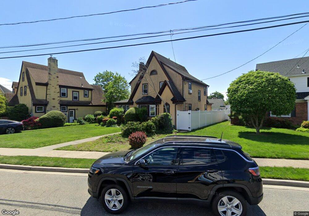
32 Stevens Ave West Hempstead, NY 11552
Estimated Value: $729,920 - $910,000
--
Bed
2
Baths
1,650
Sq Ft
$497/Sq Ft
Est. Value
About This Home
This home is located at 32 Stevens Ave, West Hempstead, NY 11552 and is currently estimated at $819,960, approximately $496 per square foot. 32 Stevens Ave is a home located in Nassau County with nearby schools including Chestnut Street School, West Hempstead Secondary School, and The Academy Charter School.
Ownership History
Date
Name
Owned For
Owner Type
Purchase Details
Closed on
May 9, 2011
Sold by
Lopez Denise and Lopez Andrew
Bought by
Lopez Andrew
Current Estimated Value
Home Financials for this Owner
Home Financials are based on the most recent Mortgage that was taken out on this home.
Original Mortgage
$394,910
Outstanding Balance
$266,340
Interest Rate
4.25%
Mortgage Type
FHA
Estimated Equity
$553,620
Purchase Details
Closed on
Jan 6, 2006
Sold by
Aitken Robert Lee
Create a Home Valuation Report for This Property
The Home Valuation Report is an in-depth analysis detailing your home's value as well as a comparison with similar homes in the area
Home Values in the Area
Average Home Value in this Area
Purchase History
| Date | Buyer | Sale Price | Title Company |
|---|---|---|---|
| Lopez Andrew | -- | -- | |
| -- | $525,000 | -- |
Source: Public Records
Mortgage History
| Date | Status | Borrower | Loan Amount |
|---|---|---|---|
| Open | Lopez Andrew | $394,910 |
Source: Public Records
Tax History Compared to Growth
Tax History
| Year | Tax Paid | Tax Assessment Tax Assessment Total Assessment is a certain percentage of the fair market value that is determined by local assessors to be the total taxable value of land and additions on the property. | Land | Improvement |
|---|---|---|---|---|
| 2025 | $12,646 | $481 | $250 | $231 |
| 2024 | $4,240 | $506 | $263 | $243 |
| 2023 | $11,695 | $534 | $277 | $257 |
| 2022 | $11,695 | $526 | $273 | $253 |
| 2021 | $14,272 | $531 | $276 | $255 |
| 2020 | $10,677 | $694 | $568 | $126 |
| 2019 | $11,367 | $743 | $570 | $173 |
| 2018 | $11,453 | $793 | $0 | $0 |
| 2017 | $7,597 | $842 | $560 | $282 |
| 2016 | $11,682 | $914 | $552 | $362 |
| 2015 | $4,134 | $914 | $552 | $362 |
| 2014 | $4,134 | $914 | $552 | $362 |
| 2013 | $4,255 | $1,006 | $608 | $398 |
Source: Public Records
Map
Nearby Homes
- 47 Stratford Rd
- 252 Lexington Ave
- 253 William St
- 39 Hilbert St
- 170 Ivy St
- 301 Concord Ave
- 197 Ivy St
- 30 Cathedral Ave Unit 4A
- 35 Mulford Place
- 22 Mulford Place Unit 2D
- 22 Mulford Place Unit 6C
- 181 Oak St
- 144 Hilton Ave
- 32 Cathedral Ave Unit 6c
- 200 Hilton Ave Unit 55
- 2 Sunset Ln
- 67 3rd St
- 82 Hilton Ave
- 179 Fairlawn Ave
- 20 Wendell St Unit A16
- 26 Stevens Ave
- 44 Stevens Ave
- 172 Buckingham Rd
- 186 Buckingham Rd
- 166 Buckingham Rd
- 180 Buckingham Rd
- 31 Stevens Ave
- 29 Stevens Ave
- 103 Saint Pauls Place
- 33 Stevens Ave
- 160 Buckingham Rd
- 94 Chatham Place
- 190 Buckingham Rd
- 84 Chatham Place
- 35 Stevens Ave
- 118 Saint Pauls Place
- 82 Chatham Place
- 104 Chatham Place
- 43 Stevens Ave