32 Stone Root Ln Sudbury, MA 01776
Estimated Value: $1,043,000 - $1,613,000
4
Beds
3
Baths
2,450
Sq Ft
$530/Sq Ft
Est. Value
About This Home
This home is located at 32 Stone Root Ln, Sudbury, MA 01776 and is currently estimated at $1,299,687, approximately $530 per square foot. 32 Stone Root Ln is a home located in Middlesex County with nearby schools including Josiah Haynes Elementary School, Ephraim Curtis Middle School, and Lincoln-Sudbury Regional High School.
Ownership History
Date
Name
Owned For
Owner Type
Purchase Details
Closed on
Aug 18, 1997
Sold by
Buonmaico Nicholas and Buonamico Mary M
Bought by
Malinoski Michael J and Lilly Susan C
Current Estimated Value
Purchase Details
Closed on
Aug 20, 1993
Sold by
Wr Rt and Maurer
Bought by
Buonamico Nicholas A and Buonamico Mary M
Purchase Details
Closed on
Oct 5, 1992
Sold by
Greeno John L and Greeno Grace M
Bought by
Wr Rt
Create a Home Valuation Report for This Property
The Home Valuation Report is an in-depth analysis detailing your home's value as well as a comparison with similar homes in the area
Home Values in the Area
Average Home Value in this Area
Purchase History
| Date | Buyer | Sale Price | Title Company |
|---|---|---|---|
| Malinoski Michael J | $422,000 | -- | |
| Malinoski Michael J | $422,000 | -- | |
| Buonamico Nicholas A | $378,500 | -- | |
| Buonamico Nicholas A | $378,500 | -- | |
| Wr Rt | $375,000 | -- | |
| Wr Rt | $375,000 | -- |
Source: Public Records
Mortgage History
| Date | Status | Borrower | Loan Amount |
|---|---|---|---|
| Open | Wr Rt | $175,000 | |
| Open | Wr Rt | $417,000 |
Source: Public Records
Tax History Compared to Growth
Tax History
| Year | Tax Paid | Tax Assessment Tax Assessment Total Assessment is a certain percentage of the fair market value that is determined by local assessors to be the total taxable value of land and additions on the property. | Land | Improvement |
|---|---|---|---|---|
| 2025 | $16,575 | $1,132,200 | $500,900 | $631,300 |
| 2024 | $15,985 | $1,094,100 | $486,500 | $607,600 |
| 2023 | $14,907 | $945,300 | $434,500 | $510,800 |
| 2022 | $14,803 | $820,100 | $398,500 | $421,600 |
| 2021 | $14,219 | $755,100 | $398,500 | $356,600 |
| 2020 | $13,932 | $755,100 | $398,500 | $356,600 |
| 2019 | $13,524 | $755,100 | $398,500 | $356,600 |
| 2018 | $13,469 | $751,200 | $424,100 | $327,100 |
| 2017 | $13,209 | $744,600 | $420,500 | $324,100 |
| 2016 | $13,184 | $740,700 | $404,500 | $336,200 |
| 2015 | $12,443 | $707,000 | $377,200 | $329,800 |
| 2014 | $12,433 | $689,600 | $366,100 | $323,500 |
Source: Public Records
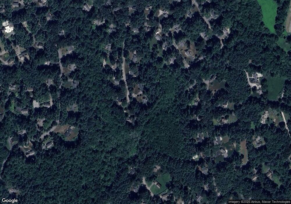
Map
Nearby Homes
- 63 Canterbury Dr
- 70 Marlboro Rd
- 55 Widow Rites Ln
- 45 Widow Rites Ln
- 5 Taintor Dr
- 42 Dakin Rd
- 16 Blacksmith Dr
- 14 Frost Ln
- 54 Phillips Rd
- 19 Skyview Ln
- 12 Camperdown Ln
- 67 Powder Mill Rd
- 589 North Rd
- 11 Barnet Rd
- 24 Goodnow Rd
- 36 Old Forge Ln
- 10 Oak Ridge Dr Unit 5
- 427 Concord Rd
- 250 Great Rd
- 47 Fairbank Rd
- 26 Stone Root Ln
- 29 Stone Root Ln
- 35 Stone Root Ln
- 23 Stone Root Ln
- 20 Stone Root Ln
- 17 Stone Root Ln
- 45 Mossman Rd
- 61 Mossman Rd
- 39 Mossman Rd
- 33 Mossman Rd
- 65 Mossman Rd
- 11 Stone Root Ln
- 71 Mossman Rd
- 71 Mossman Rd
- 66 Mossman Rd
- 90 Thunder Rd
- 1 Farm Ln
- 1 Farm Ln
- 86 Thunder Rd
- 86 Thunder Rd Unit 86