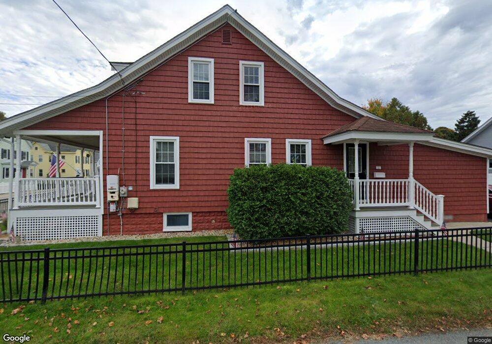
32 Sumner St Marlborough, MA 01752
French Hill NeighborhoodEstimated Value: $467,831 - $545,000
2
Beds
1
Bath
1,763
Sq Ft
$291/Sq Ft
Est. Value
About This Home
This home is located at 32 Sumner St, Marlborough, MA 01752 and is currently estimated at $513,708, approximately $291 per square foot. 32 Sumner St is a home located in Middlesex County with nearby schools including Marlborough High School, Advanced Math & Science Academy, and New Covenant Christian School.
Ownership History
Date
Name
Owned For
Owner Type
Purchase Details
Closed on
May 5, 2023
Sold by
Kasaras Thomas A
Bought by
Thomas Alan Kasaras Ft
Current Estimated Value
Purchase Details
Closed on
Dec 19, 1991
Sold by
Kasaras Anita
Bought by
Kasaras Thomas A
Home Financials for this Owner
Home Financials are based on the most recent Mortgage that was taken out on this home.
Original Mortgage
$45,000
Interest Rate
8.68%
Mortgage Type
Purchase Money Mortgage
Create a Home Valuation Report for This Property
The Home Valuation Report is an in-depth analysis detailing your home's value as well as a comparison with similar homes in the area
Home Values in the Area
Average Home Value in this Area
Purchase History
| Date | Buyer | Sale Price | Title Company |
|---|---|---|---|
| Thomas Alan Kasaras Ft | -- | None Available | |
| Kasaras Thomas A | $50,000 | -- | |
| Kasaras Thomas A | $50,000 | -- |
Source: Public Records
Mortgage History
| Date | Status | Borrower | Loan Amount |
|---|---|---|---|
| Previous Owner | Kasaras Thomas A | $30,000 | |
| Previous Owner | Kasaras Thomas A | $45,000 |
Source: Public Records
Tax History
| Year | Tax Paid | Tax Assessment Tax Assessment Total Assessment is a certain percentage of the fair market value that is determined by local assessors to be the total taxable value of land and additions on the property. | Land | Improvement |
|---|---|---|---|---|
| 2025 | $4,181 | $424,000 | $155,200 | $268,800 |
| 2024 | $4,089 | $399,300 | $141,100 | $258,200 |
| 2023 | $4,352 | $377,100 | $110,200 | $266,900 |
| 2022 | $4,235 | $322,800 | $105,000 | $217,800 |
| 2021 | $4,093 | $296,600 | $85,200 | $211,400 |
| 2020 | $4,040 | $284,900 | $83,000 | $201,900 |
| 2019 | $3,940 | $280,000 | $81,300 | $198,700 |
| 2018 | $3,704 | $253,200 | $75,000 | $178,200 |
| 2017 | $3,519 | $229,700 | $75,000 | $154,700 |
| 2016 | $3,499 | $228,100 | $75,000 | $153,100 |
| 2015 | $3,344 | $212,200 | $79,400 | $132,800 |
Source: Public Records
Map
Nearby Homes
- 30 Franklin St
- 154 Pleasant St
- 68 Elm St Unit B
- 198 Chestnut St
- 7 Versailles St
- 37 Gibbon St
- 34 Brigham Ave
- 76 Broad St
- 21 Norwood St
- 30 Winter Ave
- 8 Saint Mary's Way Unit 8
- 45 Lakeside Ave Unit 31
- 15 Hayden St
- 287 Elm St
- 273 W Main St Unit B12
- 27 Jefferson St
- 27 Jefferson St Unit 204
- 270 Main St
- 272 Lincoln St Unit 301
- 272 Lincoln St Unit 302
Your Personal Tour Guide
Ask me questions while you tour the home.