32 Sundance Dr Morgantown, WV 26508
Estimated Value: $354,000 - $415,000
3
Beds
3
Baths
2,304
Sq Ft
$162/Sq Ft
Est. Value
About This Home
This home is located at 32 Sundance Dr, Morgantown, WV 26508 and is currently estimated at $374,260, approximately $162 per square foot. 32 Sundance Dr is a home with nearby schools including Cheat Lake Elementary School, Mountaineer Middle School, and University High School.
Ownership History
Date
Name
Owned For
Owner Type
Purchase Details
Closed on
Dec 15, 2020
Sold by
Minsker Sarah E and Blevins Sarah E
Bought by
Keeting Jacob E and Keeting Tessa A
Current Estimated Value
Home Financials for this Owner
Home Financials are based on the most recent Mortgage that was taken out on this home.
Original Mortgage
$265,050
Outstanding Balance
$235,429
Interest Rate
2.7%
Mortgage Type
New Conventional
Estimated Equity
$138,831
Create a Home Valuation Report for This Property
The Home Valuation Report is an in-depth analysis detailing your home's value as well as a comparison with similar homes in the area
Home Values in the Area
Average Home Value in this Area
Purchase History
| Date | Buyer | Sale Price | Title Company |
|---|---|---|---|
| Keeting Jacob E | $279,000 | None Available | |
| Keeting Jacob E | $27,900 | None Listed On Document |
Source: Public Records
Mortgage History
| Date | Status | Borrower | Loan Amount |
|---|---|---|---|
| Open | Keeting Jacob E | $265,050 | |
| Closed | Keeting Jacob E | $265,050 |
Source: Public Records
Tax History Compared to Growth
Tax History
| Year | Tax Paid | Tax Assessment Tax Assessment Total Assessment is a certain percentage of the fair market value that is determined by local assessors to be the total taxable value of land and additions on the property. | Land | Improvement |
|---|---|---|---|---|
| 2025 | $1,776 | $166,200 | $22,200 | $144,000 |
| 2024 | $1,776 | $155,940 | $22,200 | $133,740 |
| 2023 | $1,662 | $155,940 | $22,200 | $133,740 |
| 2022 | $1,581 | $154,260 | $22,200 | $132,060 |
| 2021 | $1,589 | $154,260 | $22,200 | $132,060 |
| 2020 | $1,596 | $154,260 | $22,200 | $132,060 |
| 2019 | $1,607 | $154,260 | $22,200 | $132,060 |
| 2018 | $1,612 | $154,260 | $22,200 | $132,060 |
| 2017 | $1,609 | $153,120 | $21,060 | $132,060 |
| 2016 | $1,609 | $152,160 | $20,100 | $132,060 |
| 2015 | $346 | $17,100 | $17,100 | $0 |
| 2014 | $308 | $15,960 | $15,960 | $0 |
Source: Public Records
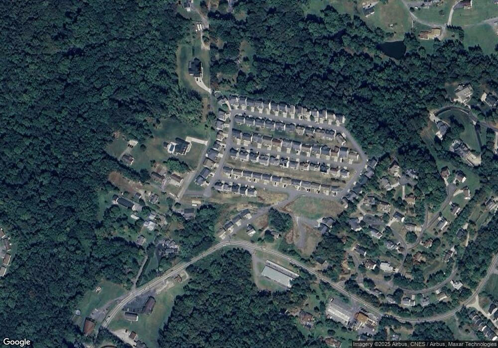
Map
Nearby Homes
- 3 Banner Place
- Oak Park Plan at Whispering Oaks
- Lehigh Plan at Whispering Oaks
- Esquire Place Plan at Whispering Oaks
- Seneca Plan at Whispering Oaks
- Greenwood Plan at Whispering Oaks
- Normandy Plan at Whispering Oaks
- 106 Betty Jane Dr
- 20 Meadow Brooke Dr
- 1300 Deer Run
- 21 Brandywine Estates Dr
- 211 Summerfield Dr
- 529 Turquoise Ln
- Lot 74 Monument Ln
- 108 Legacy Dr
- 79 Tibbs Rd
- 41 Chardonnay Dr
- 213 Greenview Dr
- 136 Southwind Cir
- TBD Rockley Rd
- 34 Sundance Dr
- 30 Sundance Dr
- 19 Amber Ridge
- 29 Sundance Dr
- 27 Sundance Dr
- 31 Sundance Dr
- 21 Amber Ridge
- 28 Sundance Dr
- 39 Sundance Dr
- 36 Sundance Dr
- 17 Amber Ridge
- 23 Amber Ridge
- 33 Sundance Dr
- Lot 8 Sundance Dr
- 15 Amber Ridge
- 26 Sundance Dr
- 14 Windsong Ln
- 22 Amber Ridge
- 24 Amber Ridge
- 7 Stone Creek Dr