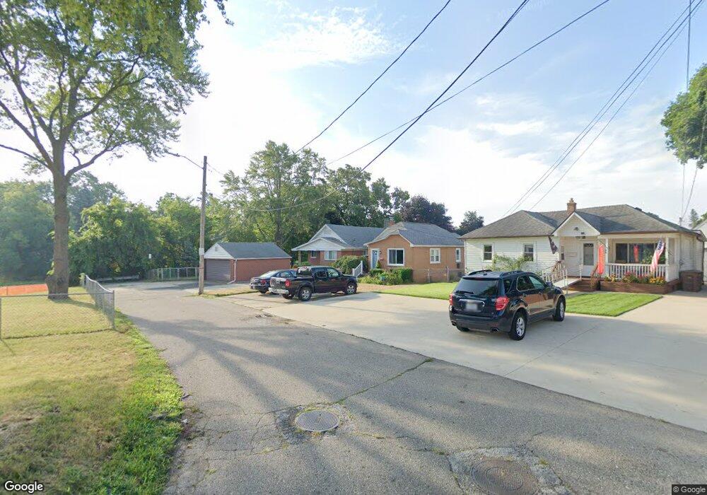
32 Susan St Pontiac, MI 48341
Estimated Value: $190,000 - $218,000
3
Beds
1
Bath
1,073
Sq Ft
$185/Sq Ft
Est. Value
About This Home
This home is located at 32 Susan St, Pontiac, MI 48341 and is currently estimated at $198,770, approximately $185 per square foot. 32 Susan St is a home located in Oakland County with nearby schools including Walt Whitman Elementary School, Pontiac Middle School, and Pontiac High School.
Ownership History
Date
Name
Owned For
Owner Type
Purchase Details
Closed on
Nov 14, 2006
Sold by
Drinkwater Gregory W and Drinkwater Rose A
Bought by
Wells Fargo Bank Na
Current Estimated Value
Purchase Details
Closed on
Dec 3, 2004
Sold by
Drinkwater Gregory W
Bought by
Drinkwater Gregory W and Drinkwater Rose A
Home Financials for this Owner
Home Financials are based on the most recent Mortgage that was taken out on this home.
Original Mortgage
$180,000
Interest Rate
8.75%
Mortgage Type
New Conventional
Purchase Details
Closed on
Jul 27, 2004
Sold by
Ferguson Frank and Ferguson Marjorie A
Bought by
Drinkwater Gregory W
Purchase Details
Closed on
Oct 29, 1997
Sold by
Cochran Ann
Bought by
Cochran Ann
Create a Home Valuation Report for This Property
The Home Valuation Report is an in-depth analysis detailing your home's value as well as a comparison with similar homes in the area
Home Values in the Area
Average Home Value in this Area
Purchase History
| Date | Buyer | Sale Price | Title Company |
|---|---|---|---|
| Wells Fargo Bank Na | $150,000 | None Available | |
| Drinkwater Gregory W | -- | -- | |
| Drinkwater Gregory W | $160,000 | -- | |
| Cochran Ann | -- | -- |
Source: Public Records
Mortgage History
| Date | Status | Borrower | Loan Amount |
|---|---|---|---|
| Previous Owner | Drinkwater Gregory W | $180,000 |
Source: Public Records
Tax History Compared to Growth
Tax History
| Year | Tax Paid | Tax Assessment Tax Assessment Total Assessment is a certain percentage of the fair market value that is determined by local assessors to be the total taxable value of land and additions on the property. | Land | Improvement |
|---|---|---|---|---|
| 2024 | $1,362 | $81,760 | $0 | $0 |
| 2023 | $1,298 | $71,780 | $0 | $0 |
| 2022 | $1,324 | $62,110 | $0 | $0 |
| 2021 | $1,286 | $54,820 | $0 | $0 |
| 2020 | $1,179 | $48,050 | $0 | $0 |
| 2019 | $1,257 | $41,620 | $0 | $0 |
| 2018 | $1,216 | $39,110 | $0 | $0 |
| 2017 | $1,150 | $35,430 | $0 | $0 |
| 2016 | $1,173 | $33,130 | $0 | $0 |
| 2015 | -- | $31,600 | $0 | $0 |
| 2014 | -- | $29,930 | $0 | $0 |
| 2011 | -- | $39,630 | $0 | $0 |
Source: Public Records
Map
Nearby Homes
- 8 Myra Ave
- 10 Wenonah Dr
- 181 Navajo Ave
- 10 Niagara Ave
- 243 Cherokee Rd
- 14 Riverbank Dr Unit 300-114
- 26 Edna Ave
- 166 Cherokee Rd
- 12 Edna Ave
- 25 Riverbank Dr Unit 300-125
- 27 Riverbank Dr Unit 300-127
- 21 Canal Dr Unit 300-021
- 14 Canal Dr Unit 300-014
- 49 Canal Dr Unit 300-049
- 38 Canal Dr Unit 300-038
- 871 Menominee Rd
- 117 E Iroquois Rd
- 901 Argyle Ave
- 985 James K Blvd
- 990 Voorheis Rd