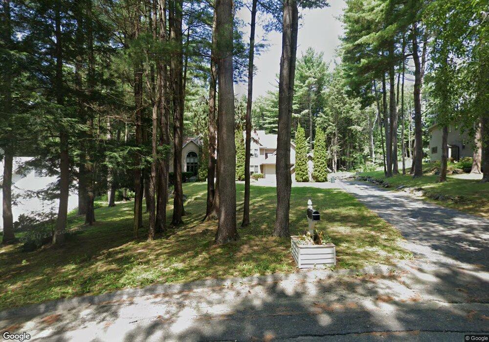
32 Tamie Way Pittsfield, MA 01201
Estimated Value: $668,000 - $827,000
4
Beds
3
Baths
3,200
Sq Ft
$239/Sq Ft
Est. Value
About This Home
This home is located at 32 Tamie Way, Pittsfield, MA 01201 and is currently estimated at $766,053, approximately $239 per square foot. 32 Tamie Way is a home located in Berkshire County with nearby schools including Williams Elementary School, Theodore Herberg Middle School, and Hillcrest Educational Foundation.
Ownership History
Date
Name
Owned For
Owner Type
Purchase Details
Closed on
Apr 28, 2000
Sold by
Huth Michael J and Huth Mary K
Bought by
Wincuinas Robert J and Porter Barbara J
Current Estimated Value
Home Financials for this Owner
Home Financials are based on the most recent Mortgage that was taken out on this home.
Original Mortgage
$100,000
Interest Rate
8.23%
Mortgage Type
Purchase Money Mortgage
Purchase Details
Closed on
Feb 26, 1999
Sold by
Abeln Maura J
Bought by
Hunt Michael J and Hunt Mary K
Purchase Details
Closed on
Jul 31, 1997
Sold by
Courys Constn Co Inc
Bought by
T & J Inc
Purchase Details
Closed on
Jun 13, 1991
Sold by
Foster David A and Patricia Murrin A
Bought by
Touhey Francis W and Abelntouhey Maura
Purchase Details
Closed on
Sep 29, 1989
Sold by
Courys Constr Co
Bought by
Foster David A
Create a Home Valuation Report for This Property
The Home Valuation Report is an in-depth analysis detailing your home's value as well as a comparison with similar homes in the area
Home Values in the Area
Average Home Value in this Area
Purchase History
| Date | Buyer | Sale Price | Title Company |
|---|---|---|---|
| Wincuinas Robert J | $380,000 | -- | |
| Hunt Michael J | $310,000 | -- | |
| T & J Inc | $350,000 | -- | |
| Touhey Francis W | $388,000 | -- | |
| Foster David A | $385,000 | -- | |
| T & J Inc | $350,000 | -- |
Source: Public Records
Mortgage History
| Date | Status | Borrower | Loan Amount |
|---|---|---|---|
| Open | Foster David A | $100,000 | |
| Closed | Foster David A | $100,000 |
Source: Public Records
Tax History Compared to Growth
Tax History
| Year | Tax Paid | Tax Assessment Tax Assessment Total Assessment is a certain percentage of the fair market value that is determined by local assessors to be the total taxable value of land and additions on the property. | Land | Improvement |
|---|---|---|---|---|
| 2025 | $14,680 | $818,300 | $86,900 | $731,400 |
| 2024 | $13,686 | $741,800 | $86,900 | $654,900 |
| 2023 | $12,637 | $689,800 | $86,900 | $602,900 |
| 2022 | $11,307 | $609,200 | $84,900 | $524,300 |
| 2021 | $10,705 | $556,100 | $84,900 | $471,200 |
| 2020 | $10,728 | $544,300 | $84,200 | $460,100 |
| 2019 | $10,143 | $522,300 | $88,500 | $433,800 |
| 2018 | $10,225 | $511,000 | $88,500 | $422,500 |
| 2017 | $11,020 | $561,400 | $93,500 | $467,900 |
| 2016 | $10,438 | $556,400 | $93,500 | $462,900 |
| 2015 | $10,506 | $581,700 | $93,500 | $488,200 |
Source: Public Records
Map
Nearby Homes
- 1070 Holmes Rd
- 35 Chapman Rd
- 57 Palomino Dr
- 103 Alpine Trail
- 889 Holmes Rd
- 813 East St
- 33 Alpine Trail
- 2 New Lenox Rd
- 25 Alpine Trail Unit 6-A
- 2-5 Rolling Hill Build 2 Unit 5 Ln
- 2 Rolling Hills Unit bldg2-4
- 14 Alpine Trail Unit 14
- 31 Eric Dr
- 82 Quirico Dr
- 612 E New Lenox Rd
- 851 E New Lenox Rd
- 36 Joseph Dr
- 349 New Lenox Rd
- 51 Anita Dr
- 1 Pittsfield Rd