Estimated Value: $733,000 - $1,339,000
3
Beds
2
Baths
1,800
Sq Ft
$536/Sq Ft
Est. Value
About This Home
This home is located at 32 Thurlow Rd, Twisp, WA 98856 and is currently estimated at $964,333, approximately $535 per square foot. 32 Thurlow Rd is a home located in Okanogan County with nearby schools including Methow Valley Elementary School, Liberty Bell Junior/Senior High School, and Methow Valley Independent Learning Center.
Ownership History
Date
Name
Owned For
Owner Type
Purchase Details
Closed on
Dec 27, 2021
Sold by
Michael D Fort Revocable Trust
Bought by
Fort Michael D
Current Estimated Value
Purchase Details
Closed on
Jul 29, 2021
Sold by
Fort Michael D
Bought by
Fort Michael D and Michael D Fort Revocable Trust
Purchase Details
Closed on
Jun 30, 2018
Sold by
Fort James
Bought by
Fort Michael David
Purchase Details
Closed on
Jun 18, 2018
Sold by
Nestor Adreienne
Bought by
Fort Michael David
Purchase Details
Closed on
Oct 20, 2010
Sold by
Fort Michael D
Bought by
Nestor Adrienne and Fort James Michael
Create a Home Valuation Report for This Property
The Home Valuation Report is an in-depth analysis detailing your home's value as well as a comparison with similar homes in the area
Home Values in the Area
Average Home Value in this Area
Purchase History
| Date | Buyer | Sale Price | Title Company |
|---|---|---|---|
| Fort Michael D | -- | Kuehler & Grim Pllc | |
| Fort Michael D | -- | None Available | |
| Fort Michael David | -- | None Available | |
| Fort Michael David | -- | None Available | |
| Nestor Adrienne | $600,000 | None Available |
Source: Public Records
Tax History Compared to Growth
Tax History
| Year | Tax Paid | Tax Assessment Tax Assessment Total Assessment is a certain percentage of the fair market value that is determined by local assessors to be the total taxable value of land and additions on the property. | Land | Improvement |
|---|---|---|---|---|
| 2025 | -- | $413,600 | $80,800 | $332,800 |
| 2024 | -- | $379,200 | $80,800 | $298,400 |
| 2022 | $2,782 | $258,300 | $75,800 | $182,500 |
| 2021 | $2,967 | $258,300 | $75,800 | $182,500 |
| 2020 | $2,449 | $258,300 | $75,800 | $182,500 |
| 2019 | $2,243 | $207,700 | $67,300 | $140,400 |
| 2018 | $2,345 | $207,700 | $67,300 | $140,400 |
| 2017 | $2,130 | $354,800 | $214,400 | $140,400 |
| 2016 | $2,069 | $204,400 | $72,300 | $132,100 |
| 2015 | $1,914 | $204,400 | $72,300 | $132,100 |
| 2013 | -- | $200,200 | $68,100 | $132,100 |
Source: Public Records
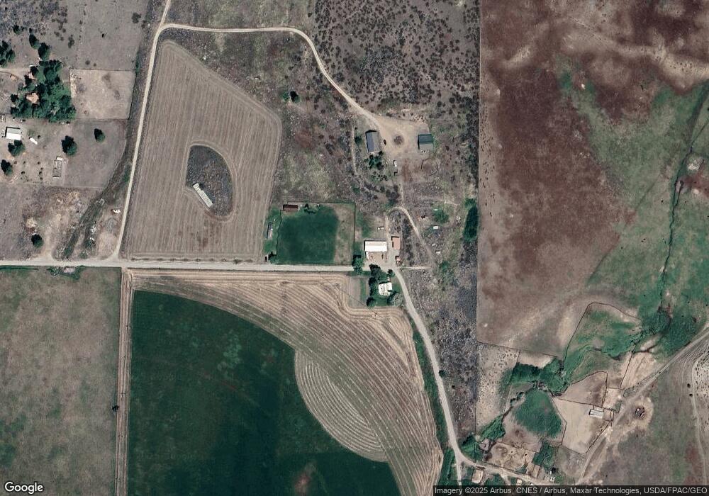
Map
Nearby Homes
- 48 Thurlow Rd
- 121 Finley Canyon Rd
- 2992 Washington 153
- 803 C Twisp Carlton
- 1221 Riverside Ave
- 1110 Riverside Ave
- 0 Lot 2 Amended Surface Short Plat
- 96 Alder Creek Rd
- 803 D Twisp Carlton Rd
- 54B Ross Rd Unit B
- 318 Lombard St
- 303 E 2nd Ave
- 136 Johnson St
- 115 Johnson St N Unit 1,2,3
- 140 Twisp Ave W Unit 204
- 0 Isabella Ln Unit NWM2400755
- 0 Isabella Ln Unit NWM2400767
- 245 Twisp Carlton Rd
- 3A Ross Rd
- 799 Twisp River Rd
- 25 Thurlow Rd
- 52 Lower Beaver Creek Rd
- 62 Lower Beaver Creek Rd
- 50 Off Thurlow Rd
- 56 Lower Beaver Creek Rd
- 45 Lower Beaver Creek Rd
- 47 Lower Beaver Creek Rd
- 61 Lower Beaver Creek Rd
- 64 Lower Beaver Creek Rd
- 22 Piper Ln
- 92B Lower Beaver Creek Rd
- 92 Lower Beaver Creek Rd
- 0 Lower Beaver Creek Rd
- 2930 State Route 153
- 2932 State Route 153
- 6A Lower Beaver Creek Rd
- 6 Lower Beaver Creek Rd
- 50 Purshia Ln
- 2911 State Route 153
- 2927 State Route 153