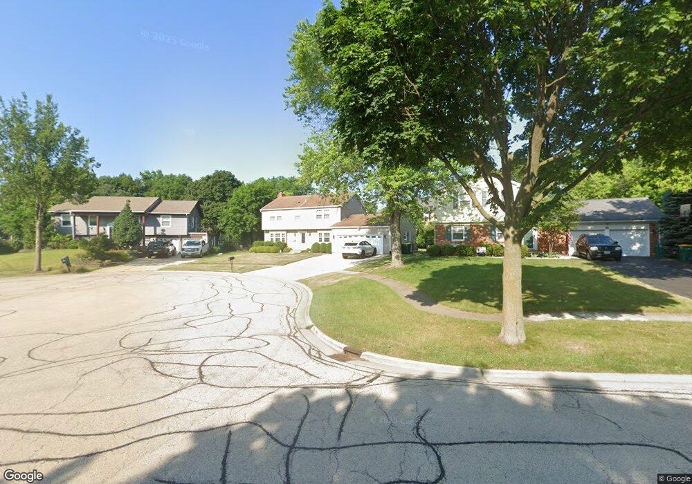
32 Timber Hill Rd Buffalo Grove, IL 60089
South Buffalo Grove NeighborhoodEstimated Value: $490,426 - $503,000
4
Beds
3
Baths
2,068
Sq Ft
$240/Sq Ft
Est. Value
About This Home
This home is located at 32 Timber Hill Rd, Buffalo Grove, IL 60089 and is currently estimated at $495,857, approximately $239 per square foot. 32 Timber Hill Rd is a home located in Cook County with nearby schools including Henry W Longfellow Elementary School, Cooper Middle School, and Buffalo Grove High School.
Ownership History
Date
Name
Owned For
Owner Type
Purchase Details
Closed on
Jun 19, 2001
Sold by
Russo Daniel A
Bought by
Russo Daniel A and Russo Cynthia R
Current Estimated Value
Purchase Details
Closed on
Oct 15, 1999
Sold by
Froberg Anna M
Bought by
Russo Daniel A
Home Financials for this Owner
Home Financials are based on the most recent Mortgage that was taken out on this home.
Original Mortgage
$175,200
Interest Rate
7.87%
Create a Home Valuation Report for This Property
The Home Valuation Report is an in-depth analysis detailing your home's value as well as a comparison with similar homes in the area
Home Values in the Area
Average Home Value in this Area
Purchase History
| Date | Buyer | Sale Price | Title Company |
|---|---|---|---|
| Russo Daniel A | -- | -- | |
| Russo Daniel A | $219,000 | -- |
Source: Public Records
Mortgage History
| Date | Status | Borrower | Loan Amount |
|---|---|---|---|
| Previous Owner | Russo Daniel A | $175,200 |
Source: Public Records
Tax History Compared to Growth
Tax History
| Year | Tax Paid | Tax Assessment Tax Assessment Total Assessment is a certain percentage of the fair market value that is determined by local assessors to be the total taxable value of land and additions on the property. | Land | Improvement |
|---|---|---|---|---|
| 2024 | $11,101 | $38,000 | $6,480 | $31,520 |
| 2023 | $10,648 | $38,000 | $6,480 | $31,520 |
| 2022 | $10,648 | $38,000 | $6,480 | $31,520 |
| 2021 | $9,544 | $30,343 | $4,140 | $26,203 |
| 2020 | $9,366 | $30,343 | $4,140 | $26,203 |
| 2019 | $9,354 | $33,640 | $4,140 | $29,500 |
| 2018 | $9,515 | $31,064 | $3,600 | $27,464 |
| 2017 | $9,360 | $31,064 | $3,600 | $27,464 |
| 2016 | $8,972 | $31,064 | $3,600 | $27,464 |
| 2015 | $8,514 | $27,684 | $3,060 | $24,624 |
| 2014 | $8,391 | $27,684 | $3,060 | $24,624 |
| 2013 | $7,738 | $27,684 | $3,060 | $24,624 |
Source: Public Records
Map
Nearby Homes
- 98 Stonegate Rd
- 1112 Auburn Ln
- 329 Timber Hill Rd
- 921 Bernard Dr
- 408 Indian Hill Dr
- 1130 Bernard Dr
- 872 Old Checker Rd Unit E3
- 410 Chatham Cir
- 746 Old Checker Rd Unit E5
- 4116 N Terramere Ave
- 535 Estate Dr
- 390 Springside Ln
- 715 W Whiting Ln
- 812 W Whiting Ln
- 859 Beechwood Rd
- 476 W Happfield Dr Unit 10AL
- 310 Rosewood Ave
- 455 Mayfair Ln
- 720 Weidner Rd Unit 302
- 813 Stradford Cir Unit 21B2
- 30 Timber Hill Rd
- 34 Timber Hill Rd
- 36 Timber Hill Rd
- 38 Timber Hill Rd
- 25 Timber Hill Rd
- 3 Whitehall Ct
- 2 Whitehall Ct
- 4 Whitehall Ct
- 984 Whitehall Dr
- 988 Whitehall Dr
- 974 Whitehall Dr
- 5 Whitehall Ct
- 964 Whitehall Dr
- 1 Whitehall Ct
- 6 Whitehall Ct
- 21 Whitehall Ct
- 7 Whitehall Ct
- 1016 Whitehall Dr
- 975 Whitehall Dr
- 20 Whitehall Ct