Estimated Value: $652,000 - $1,398,000
4
Beds
2
Baths
2,523
Sq Ft
$382/Sq Ft
Est. Value
About This Home
This home is located at 32 Upper Landing Rd, Wells, ME 04090 and is currently estimated at $964,283, approximately $382 per square foot. 32 Upper Landing Rd is a home located in York County with nearby schools including Wells Junior High School, Wells Elementary School, and Wells High School.
Ownership History
Date
Name
Owned For
Owner Type
Purchase Details
Closed on
Jun 3, 2014
Sold by
Smith Patricia M
Bought by
Knox Douglas
Current Estimated Value
Create a Home Valuation Report for This Property
The Home Valuation Report is an in-depth analysis detailing your home's value as well as a comparison with similar homes in the area
Home Values in the Area
Average Home Value in this Area
Purchase History
| Date | Buyer | Sale Price | Title Company |
|---|---|---|---|
| Knox Douglas | -- | -- |
Source: Public Records
Tax History
| Year | Tax Paid | Tax Assessment Tax Assessment Total Assessment is a certain percentage of the fair market value that is determined by local assessors to be the total taxable value of land and additions on the property. | Land | Improvement |
|---|---|---|---|---|
| 2025 | $4,137 | $640,390 | $216,840 | $423,550 |
| 2024 | $3,894 | $640,390 | $216,840 | $423,550 |
| 2023 | $3,817 | $640,390 | $216,840 | $423,550 |
| 2022 | $3,207 | $306,620 | $98,450 | $208,170 |
| 2021 | $3,226 | $306,620 | $98,450 | $208,170 |
| 2020 | $3,068 | $292,760 | $98,610 | $194,150 |
| 2019 | $3,051 | $292,760 | $98,610 | $194,150 |
| 2018 | $1,511 | $292,760 | $98,610 | $194,150 |
| 2017 | $2,914 | $286,810 | $98,610 | $188,200 |
| 2016 | $3,291 | $286,810 | $98,610 | $188,200 |
| 2015 | $2,854 | $286,810 | $98,610 | $188,200 |
| 2013 | $2,616 | $286,810 | $98,610 | $188,200 |
Source: Public Records
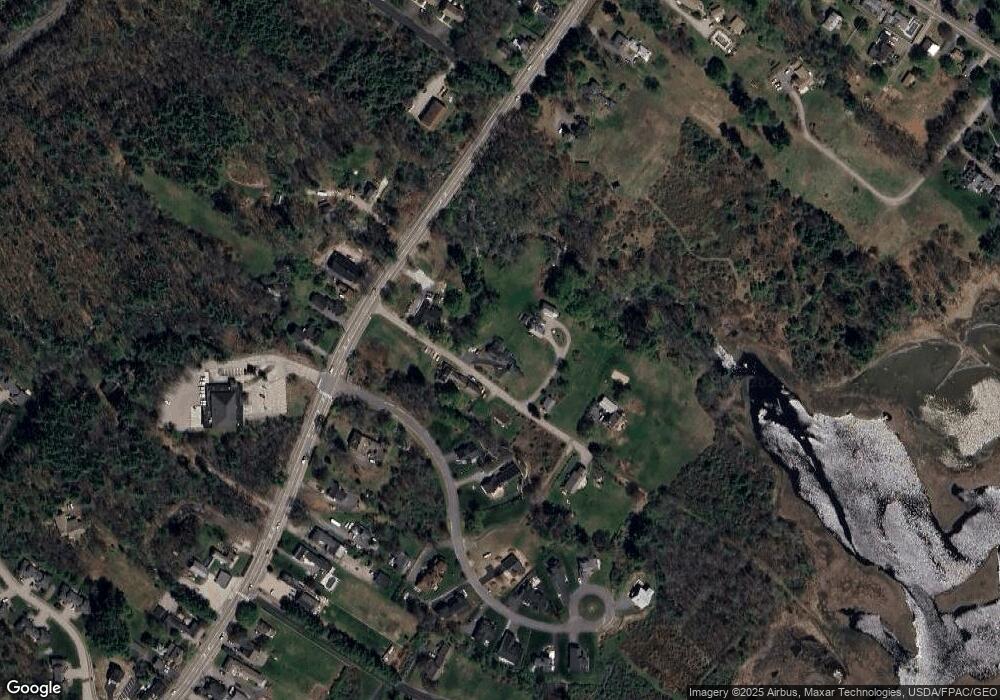
Map
Nearby Homes
- 1762 Post Rd Unit 206
- 1733 Post Rd
- 66 Nicholas Dr
- 50 Coles Hill Rd
- 99 Harbor Rd Unit Lot 52
- 99 Harbor Rd Unit Lot 54
- TBD Eagle Crest Dr
- Lots 1-6 Pike Rd
- 500 Atlantic Ave Unit 2
- 47 Whistle Stop Cir
- 89 Skyline Cir
- 1413 Post Rd Unit 58
- 1373 Post Rd Unit 8E
- 1373 Post Rd Unit 4E
- 1373 Post Rd Unit 10A
- 1373 Post Rd Unit 2C
- 1373 Post Rd Unit 6B
- 1373 Post Rd Unit 1F
- 1351 Post Rd Unit 49
- 9 Robert Ln
- 25 Upper Landing Rd
- 42 Upper Landing Rd
- 46 Upper Landing Rd
- 55 Upper Landing Rd
- 1927 Post Rd
- 28 Tidewater Way
- 74 Upper Landing Rd
- 61 Upper Landing Rd
- 1885 Post Rd
- 52 Tidewater Way
- 1914 Post Rd
- 2060 Post Rd
- 1908 Post Rd
- 2152 Post Rd
- 1902 Post Rd
- 2 Black Smith Rd Unit 2
- 1916 Post Rd
- 1863 Post Rd
- 1871 Post Rd
- 11 Black Smith Rd Unit 11D
Your Personal Tour Guide
Ask me questions while you tour the home.