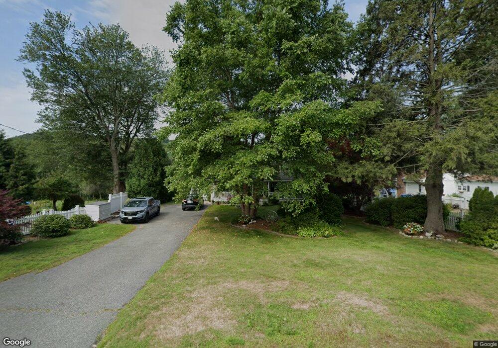
32 Upper Palmer Rd Monson, MA 01057
Estimated Value: $420,666 - $629,000
2
Beds
2
Baths
1,729
Sq Ft
$286/Sq Ft
Est. Value
About This Home
This home is located at 32 Upper Palmer Rd, Monson, MA 01057 and is currently estimated at $494,917, approximately $286 per square foot. 32 Upper Palmer Rd is a home located in Hampden County with nearby schools including Quarry Hill Community School, Granite Valley School, and Monson High School.
Ownership History
Date
Name
Owned For
Owner Type
Purchase Details
Closed on
Feb 19, 2015
Sold by
Carr Richard F and Carr Kathy J
Bought by
Mills Cortney L and Carr Richard F
Current Estimated Value
Purchase Details
Closed on
Jun 18, 2003
Sold by
Pascale Arthur A and Pascale Arthur M
Bought by
Carr Kathy J and Carr Richard F
Create a Home Valuation Report for This Property
The Home Valuation Report is an in-depth analysis detailing your home's value as well as a comparison with similar homes in the area
Home Values in the Area
Average Home Value in this Area
Purchase History
| Date | Buyer | Sale Price | Title Company |
|---|---|---|---|
| Mills Cortney L | -- | -- | |
| Mills Cortney L | -- | -- | |
| Carr Kathy J | $13,081 | -- |
Source: Public Records
Tax History Compared to Growth
Tax History
| Year | Tax Paid | Tax Assessment Tax Assessment Total Assessment is a certain percentage of the fair market value that is determined by local assessors to be the total taxable value of land and additions on the property. | Land | Improvement |
|---|---|---|---|---|
| 2025 | $5,466 | $367,600 | $68,100 | $299,500 |
| 2024 | $5,299 | $341,900 | $68,100 | $273,800 |
| 2023 | $4,898 | $308,800 | $68,100 | $240,700 |
| 2022 | $4,704 | $263,800 | $68,100 | $195,700 |
| 2021 | $4,443 | $245,200 | $68,100 | $177,100 |
| 2020 | $4,480 | $245,200 | $68,100 | $177,100 |
| 2019 | $4,286 | $233,700 | $68,100 | $165,600 |
| 2018 | $4,108 | $233,400 | $75,500 | $157,900 |
| 2017 | $3,909 | $224,500 | $72,400 | $152,100 |
| 2016 | $3,908 | $228,300 | $67,600 | $160,700 |
| 2015 | $3,806 | $228,300 | $67,600 | $160,700 |
| 2014 | $3,698 | $228,300 | $67,600 | $160,700 |
Source: Public Records
Map
Nearby Homes
- 12 Upper Palmer Rd
- 56 Margaret St
- 18 Palmer Rd Unit 15
- 18 Palmer Rd Unit 6
- 0 Hovey Rd
- 4 Spring St
- 0 Bethany Rd
- 0 Palmer Rd
- 23 High St
- 21 High St
- Lot B Brimfield Rd
- 22 Beebe Rd
- 268 Palmer Rd Unit 59
- 268 Palmer Rd Unit 44
- 268 Palmer Rd Unit 27
- 268 Palmer Rd Unit 2
- 26 Brimfield Rd
- 187 Hovey Rd
- 183 Hovey Rd
- 4 Stewart Ave
- 34 Upper Palmer Rd
- 30 Upper Palmer Rd
- 36 Upper Palmer Rd
- 31 Upper Palmer Rd
- 33 Upper Palmer Rd
- 38 Upper Palmer Rd
- 29 Upper Palmer Rd
- 29 Upper Palmer Rd
- 28 Upper Palmer Rd
- 1 Macomber Rd
- 27 Upper Palmer Rd
- 0 Macomber Rd
- 3 Macomber Rd
- 26 Upper Palmer Rd
- 42 Upper Palmer Rd
- 2 Macomber Rd
- 24 Upper Palmer Rd
- 4 Macomber Rd
- 5 Macomber Rd
- 25 Upper Palmer Rd