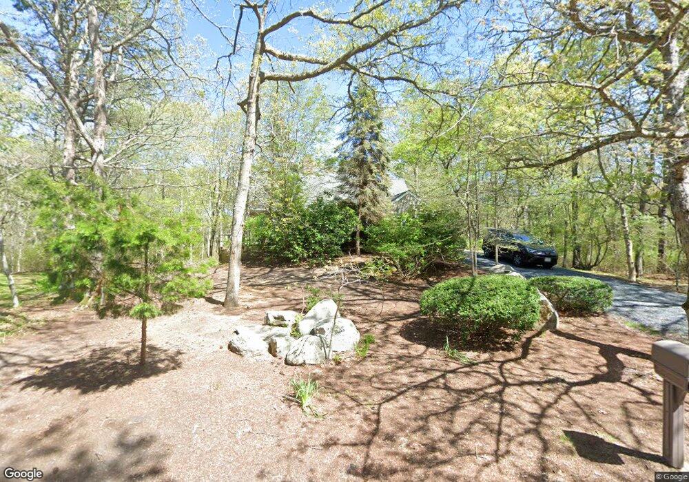
32 Wadsworth Ln Yarmouth Port, MA 02675
Yarmouth Port NeighborhoodEstimated Value: $575,000 - $778,000
3
Beds
3
Baths
1,645
Sq Ft
$437/Sq Ft
Est. Value
About This Home
This home is located at 32 Wadsworth Ln, Yarmouth Port, MA 02675 and is currently estimated at $718,760, approximately $436 per square foot. 32 Wadsworth Ln is a home located in Barnstable County with nearby schools including Dennis-Yarmouth Regional High School, St. Pius X. School, and Trinity Christian Academy of Cape Cod.
Create a Home Valuation Report for This Property
The Home Valuation Report is an in-depth analysis detailing your home's value as well as a comparison with similar homes in the area
Home Values in the Area
Average Home Value in this Area
Tax History Compared to Growth
Tax History
| Year | Tax Paid | Tax Assessment Tax Assessment Total Assessment is a certain percentage of the fair market value that is determined by local assessors to be the total taxable value of land and additions on the property. | Land | Improvement |
|---|---|---|---|---|
| 2025 | $5,044 | $712,400 | $212,800 | $499,600 |
| 2024 | $4,636 | $628,200 | $180,100 | $448,100 |
| 2023 | $4,493 | $554,000 | $149,100 | $404,900 |
| 2022 | $4,045 | $440,600 | $135,300 | $305,300 |
| 2021 | $3,965 | $414,700 | $135,300 | $279,400 |
| 2020 | $3,811 | $381,100 | $135,600 | $245,500 |
| 2019 | $3,539 | $350,400 | $135,600 | $214,800 |
| 2018 | $3,399 | $330,300 | $115,500 | $214,800 |
| 2017 | $3,260 | $325,300 | $110,500 | $214,800 |
| 2016 | $3,146 | $315,200 | $100,400 | $214,800 |
| 2015 | $3,025 | $301,300 | $100,400 | $200,900 |
Source: Public Records
Map
Nearby Homes
- 209 Union St
- 8 Rowley Ln
- 16 Warren Rd Unit 16
- 16 Warren Rd
- 882 W Yarmouth Rd
- 933-935 W Yarmouth Rd
- 50 Cottonwood St
- 10 Balsam Way
- 1 Barnacle Rd
- 0 Forsyth Ave
- 24 Minnetuxet Way
- 17 Trowbridge Path
- 607 W Yarmouth Rd
- 33 Sparrow Way
- 72 Quartermaster Row
- 560 W Yarmouth Rd
- 29 Boxwood Cir Unit 29
- 371 Route 6a
- 25 Oak Glen
- 25 Oak Glen Village Unit 25