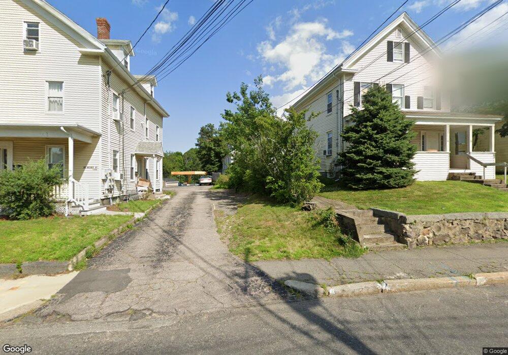
32 Walnut St Dedham, MA 02026
Oakdale NeighborhoodEstimated Value: $603,000 - $700,000
4
Beds
2
Baths
1,344
Sq Ft
$488/Sq Ft
Est. Value
About This Home
This home is located at 32 Walnut St, Dedham, MA 02026 and is currently estimated at $656,056, approximately $488 per square foot. 32 Walnut St is a home located in Norfolk County with nearby schools including Avery, Dedham Middle School, and Dedham High School.
Ownership History
Date
Name
Owned For
Owner Type
Purchase Details
Closed on
Apr 14, 1995
Sold by
Rouhana Gattas Est and Rouhana Jeanne Est
Bought by
Fhlmc
Current Estimated Value
Purchase Details
Closed on
Mar 31, 1995
Sold by
Fhlmc
Bought by
Kennos Vasillios G and Kennos Panayiota G
Purchase Details
Closed on
Jul 11, 1994
Sold by
Rouhana Gattas and Rouhana Fhlmc
Bought by
Fhlmc
Create a Home Valuation Report for This Property
The Home Valuation Report is an in-depth analysis detailing your home's value as well as a comparison with similar homes in the area
Home Values in the Area
Average Home Value in this Area
Purchase History
| Date | Buyer | Sale Price | Title Company |
|---|---|---|---|
| Fhlmc | $118,500 | -- | |
| Kennos Vasillios G | $77,000 | -- | |
| Fhlmc | $118,500 | -- |
Source: Public Records
Mortgage History
| Date | Status | Borrower | Loan Amount |
|---|---|---|---|
| Open | Fhlmc | $94,500 | |
| Closed | Fhlmc | $73,100 |
Source: Public Records
Tax History
| Year | Tax Paid | Tax Assessment Tax Assessment Total Assessment is a certain percentage of the fair market value that is determined by local assessors to be the total taxable value of land and additions on the property. | Land | Improvement |
|---|---|---|---|---|
| 2025 | $6,776 | $536,900 | $315,700 | $221,200 |
| 2024 | $6,240 | $499,200 | $286,400 | $212,800 |
| 2023 | $5,757 | $448,400 | $259,300 | $189,100 |
| 2022 | $5,459 | $408,900 | $243,500 | $165,400 |
| 2021 | $5,069 | $370,800 | $225,500 | $145,300 |
| 2020 | $5,463 | $398,200 | $225,400 | $172,800 |
| 2019 | $4,848 | $342,600 | $196,000 | $146,600 |
| 2018 | $4,644 | $319,200 | $174,000 | $145,200 |
| 2017 | $4,551 | $308,300 | $163,100 | $145,200 |
| 2016 | $4,525 | $292,100 | $151,000 | $141,100 |
| 2015 | $5,074 | $319,700 | $143,000 | $176,700 |
| 2014 | $4,847 | $301,400 | $140,400 | $161,000 |
Source: Public Records
Map
Nearby Homes
- 30 High St ( Cass St Entrance) Unit 209
- 73 Walnut St
- 90 High St Unit 309
- 7 S Stone Mill Dr Unit 412
- 7 S Stone Mill Dr Unit 403
- 22 N Stone Mill Dr Unit 1111
- 108 High St
- 16 N Stone Mill Dr Unit 1014
- 19 Lewis Ln
- 213 River St
- 187 Colburn St Unit 187
- 38 Fleming St
- 105 Oakdale Ave
- 153 Colburn St
- 12 Blossom St
- 56 Mount Vernon St
- 49 Greenhood St
- 147 Mount Vernon St
- 132 Whitehall St
- 22 Greenhood St Unit 22
- 34 Walnut St
- 39 Milton St
- 29 Myrtle St
- 27 Milton St Unit 1
- 27 Milton St
- 40 Walnut St Unit 2
- 40 Walnut St
- 28 Walnut St
- 28 Walnut St Unit 202
- 30 Walnut St Unit 1
- 33 Milton St Unit 33
- 23 Milton St
- 26 Walnut St
- 43 Milton St
- 41 Milton St
- 7 Victoria Terrace
- 31 Myrtle St
- 39 Myrtle St
- 37 Myrtle St
- 41 Walnut St
Your Personal Tour Guide
Ask me questions while you tour the home.