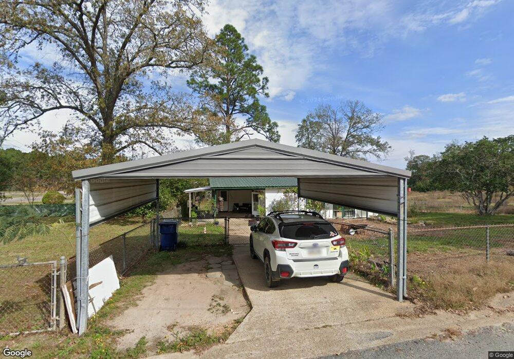
32 Watson Rd Leesville, LA 71446
Estimated Value: $76,000 - $173,000
2
Beds
1
Bath
1,298
Sq Ft
$90/Sq Ft
Est. Value
About This Home
This home is located at 32 Watson Rd, Leesville, LA 71446 and is currently estimated at $116,402, approximately $89 per square foot. 32 Watson Rd is a home located in Vernon Parish with nearby schools including Faith Training Christian Academy Elementary, Faith Training Christian Academy, and Faith Training Christian Academy High School.
Ownership History
Date
Name
Owned For
Owner Type
Purchase Details
Closed on
Sep 6, 2023
Sold by
Brown Jeffrey R
Bought by
Massey Andrhea
Current Estimated Value
Home Financials for this Owner
Home Financials are based on the most recent Mortgage that was taken out on this home.
Original Mortgage
$77,070
Outstanding Balance
$75,389
Interest Rate
6.81%
Mortgage Type
New Conventional
Estimated Equity
$41,013
Purchase Details
Closed on
Nov 28, 2014
Sold by
Brown Stanley E
Bought by
Brown Jeffrey R
Create a Home Valuation Report for This Property
The Home Valuation Report is an in-depth analysis detailing your home's value as well as a comparison with similar homes in the area
Home Values in the Area
Average Home Value in this Area
Purchase History
| Date | Buyer | Sale Price | Title Company |
|---|---|---|---|
| Massey Andrhea | $76,300 | None Listed On Document | |
| Brown Jeffrey R | -- | None Available |
Source: Public Records
Mortgage History
| Date | Status | Borrower | Loan Amount |
|---|---|---|---|
| Open | Massey Andrhea | $77,070 |
Source: Public Records
Tax History Compared to Growth
Tax History
| Year | Tax Paid | Tax Assessment Tax Assessment Total Assessment is a certain percentage of the fair market value that is determined by local assessors to be the total taxable value of land and additions on the property. | Land | Improvement |
|---|---|---|---|---|
| 2024 | $862 | $7,320 | $370 | $6,950 |
| 2023 | $859 | $7,320 | $370 | $6,950 |
| 2022 | $218 | $1,890 | $370 | $1,520 |
| 2021 | $232 | $1,890 | $370 | $1,520 |
| 2020 | $239 | $1,890 | $370 | $1,520 |
| 2019 | $247 | $1,890 | $370 | $1,520 |
| 2018 | $246 | $1,890 | $370 | $1,520 |
| 2017 | $245 | $1,890 | $370 | $1,520 |
| 2015 | $240 | $1,890 | $370 | $1,520 |
| 2014 | $214 | $1,890 | $370 | $1,520 |
| 2013 | $254 | $1,890 | $370 | $1,520 |
Source: Public Records
Map
Nearby Homes
- 37 Francis Ave
- 26 Kurthwood Rd
- 27 Kurthwood Rd
- 202 Watson Rd
- 25 Kurthwood Rd
- 38 Francis Ave
- 38 Francis Ave Unit Street
- 101 Francis Ave
- 0 Francis Ave
- 7 Kurthwood Rd
- 7 Kurthwood Rd Unit Rd
- 1 Malcolm Rd
- 8 Kurthwood Rd
- 9 Kurthwood Rd
- 0 Kurthwood Rd
- 22 Kurthwood Rd
- 22 Kurthwood Rd
- 41 Francis Ave
- 41 Francis Ave
- 21 Kurthwood Rd