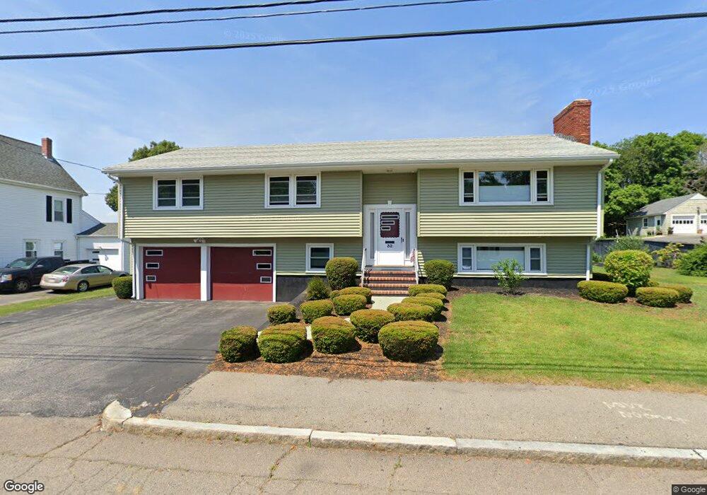
32 Wesson Ave Quincy, MA 02169
Estimated Value: $738,000 - $796,174
4
Beds
3
Baths
1,444
Sq Ft
$525/Sq Ft
Est. Value
About This Home
This home is located at 32 Wesson Ave, Quincy, MA 02169 and is currently estimated at $758,794, approximately $525 per square foot. 32 Wesson Ave is a home located in Norfolk County with nearby schools including South West Middle School, Lincoln-Hancock Community School, and Quincy High School.
Ownership History
Date
Name
Owned For
Owner Type
Purchase Details
Closed on
Jul 31, 2015
Sold by
Volpe John E
Bought by
John E Volpe Jr T
Current Estimated Value
Purchase Details
Closed on
May 4, 2007
Sold by
John E Volpe T
Bought by
Volpe John E
Create a Home Valuation Report for This Property
The Home Valuation Report is an in-depth analysis detailing your home's value as well as a comparison with similar homes in the area
Purchase History
| Date | Buyer | Sale Price | Title Company |
|---|---|---|---|
| John E Volpe Jr T | -- | -- | |
| Volpe John E | -- | -- | |
| Volpe John E | -- | -- |
Source: Public Records
Tax History
| Year | Tax Paid | Tax Assessment Tax Assessment Total Assessment is a certain percentage of the fair market value that is determined by local assessors to be the total taxable value of land and additions on the property. | Land | Improvement |
|---|---|---|---|---|
| 2025 | $8,305 | $720,300 | $328,400 | $391,900 |
| 2024 | $7,837 | $695,400 | $313,600 | $381,800 |
| 2023 | $7,226 | $649,200 | $299,500 | $349,700 |
| 2022 | $6,968 | $581,600 | $242,800 | $338,800 |
| 2021 | $6,699 | $551,800 | $242,800 | $309,000 |
| 2020 | $6,300 | $506,800 | $242,800 | $264,000 |
| 2019 | $6,091 | $485,300 | $236,300 | $249,000 |
| 2018 | $6,191 | $464,100 | $220,000 | $244,100 |
| 2017 | $6,079 | $429,000 | $210,300 | $218,700 |
| 2016 | $5,540 | $385,800 | $192,700 | $193,100 |
| 2015 | $5,360 | $367,100 | $182,700 | $184,400 |
| 2014 | $5,246 | $353,000 | $182,700 | $170,300 |
Source: Public Records
Map
Nearby Homes
- 510 Willard St
- 36 Village Dr
- 9 Westford St
- 459 Willard St Unit 303
- 87 Village Dr
- 25 McDonald St
- 51 Branch St Unit 2
- 132 Centre St
- 211 Copeland St
- 21 Totman St Unit 308
- 21 Totman St Unit 205
- 21 Totman St Unit 404
- 21 Totman St Unit 309
- 21 Totman St Unit 203
- 21 Totman St Unit PH-406
- 21 Totman St Unit 301
- 21 Totman St Unit PH-405
- 21 Totman St Unit 407
- 57 Buckley St
- 14 Arthur Ave
- 42 Wesson Ave
- 28 Wesson Ave
- 22 Wesson Ave
- 46 Wesson Ave
- 260 West St Unit 4
- 260 West St Unit 5
- 260 West St Unit 7
- 260 West St Unit 6
- 260 West St Unit 2
- 260 West St Unit 1
- 260 West St Unit 3
- 31 Wesson Ave
- 18 Wesson Ave
- 35 Wesson Ave
- 27 Wesson Ave
- 50 Wesson Ave
- 41 Wesson Ave
- 21 Wesson Ave
- 45 Wesson Ave
- 12 Wesson Ave
Your Personal Tour Guide
Ask me questions while you tour the home.