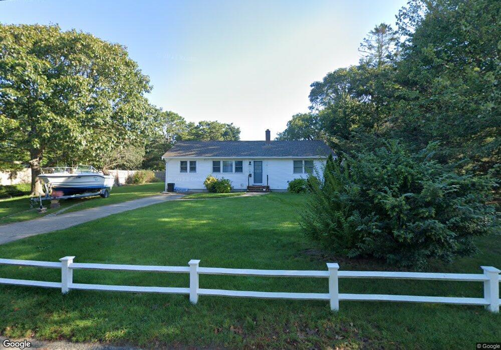
32 West Rd West Yarmouth, MA 02673
West Yarmouth NeighborhoodEstimated Value: $760,000 - $1,202,000
2
Beds
2
Baths
1,508
Sq Ft
$594/Sq Ft
Est. Value
About This Home
This home is located at 32 West Rd, West Yarmouth, MA 02673 and is currently estimated at $895,039, approximately $593 per square foot. 32 West Rd is a home located in Barnstable County with nearby schools including Dennis-Yarmouth Regional High School, Barnstable Community Horace Mann Charter Public School, and Sturgis Charter Public School.
Ownership History
Date
Name
Owned For
Owner Type
Purchase Details
Closed on
Jun 19, 2015
Sold by
Warren 4Th Arthur
Bought by
Cooke John A and Cooke Lugeyri M
Current Estimated Value
Home Financials for this Owner
Home Financials are based on the most recent Mortgage that was taken out on this home.
Original Mortgage
$292,500
Outstanding Balance
$220,321
Interest Rate
3%
Mortgage Type
New Conventional
Estimated Equity
$674,718
Purchase Details
Closed on
Aug 6, 2004
Sold by
Warren 3Rd Arthur
Bought by
Warren Nancy R
Purchase Details
Closed on
Dec 27, 1996
Sold by
Warren Nancy and Warren Arthur
Bought by
Warren Arthur and Warren Nancy R
Create a Home Valuation Report for This Property
The Home Valuation Report is an in-depth analysis detailing your home's value as well as a comparison with similar homes in the area
Home Values in the Area
Average Home Value in this Area
Purchase History
| Date | Buyer | Sale Price | Title Company |
|---|---|---|---|
| Cooke John A | $325,000 | -- | |
| Warren Nancy R | -- | -- | |
| Warren Arthur | $80,000 | -- |
Source: Public Records
Mortgage History
| Date | Status | Borrower | Loan Amount |
|---|---|---|---|
| Open | Cooke John A | $292,500 |
Source: Public Records
Tax History Compared to Growth
Tax History
| Year | Tax Paid | Tax Assessment Tax Assessment Total Assessment is a certain percentage of the fair market value that is determined by local assessors to be the total taxable value of land and additions on the property. | Land | Improvement |
|---|---|---|---|---|
| 2025 | $4,803 | $678,400 | $352,100 | $326,300 |
| 2024 | $4,290 | $581,300 | $306,300 | $275,000 |
| 2023 | $4,074 | $502,300 | $258,200 | $244,100 |
| 2022 | $3,913 | $426,300 | $232,000 | $194,300 |
| 2021 | $3,658 | $382,600 | $217,900 | $164,700 |
| 2020 | $3,551 | $355,100 | $208,200 | $146,900 |
| 2019 | $3,370 | $333,700 | $208,200 | $125,500 |
| 2018 | $3,327 | $323,300 | $197,800 | $125,500 |
| 2017 | $3,239 | $323,300 | $197,800 | $125,500 |
| 2016 | $3,221 | $322,700 | $197,800 | $124,900 |
| 2015 | -- | $310,700 | $197,800 | $112,900 |
Source: Public Records
Map
Nearby Homes
- 33 Hedge Row
- 130 Wimbledon Dr
- 85 Baker Rd
- 24 Valley Rd
- 107 Wimbledon Dr
- 90 Broadway St Unit 92
- 90 Broadway St Unit 90
- 13 Webster Rd
- 32 Wimbledon Dr
- 21 Schooner St
- 25 & 27 Merrymount Rd
- 25-27 Merrymount Rd
- 10 Standish Way
- 38 Traders Ln
- 18 Rachel Rd
- 21 & 23 Glenwood St
- 0 Ken's Way
- 38 Traders Ln
- 21 Heritage Dr
- 12 Denver Dr