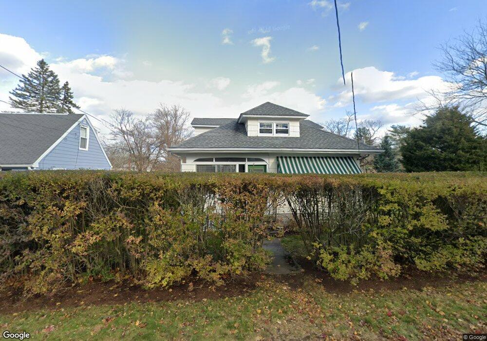
32 Whitcomb Rd Riverside, RI 02915
Riverside NeighborhoodEstimated Value: $428,517 - $609,000
4
Beds
2
Baths
1,700
Sq Ft
$296/Sq Ft
Est. Value
About This Home
This home is located at 32 Whitcomb Rd, Riverside, RI 02915 and is currently estimated at $503,379, approximately $296 per square foot. 32 Whitcomb Rd is a home located in Providence County with nearby schools including East Providence High School, St Mary Academy-Bay View, and The Gordon School.
Ownership History
Date
Name
Owned For
Owner Type
Purchase Details
Closed on
Feb 27, 1996
Sold by
Ferrara John M and Ferrara Michelle
Bought by
Hanson Eric J and Hanson Ann Marie
Current Estimated Value
Home Financials for this Owner
Home Financials are based on the most recent Mortgage that was taken out on this home.
Original Mortgage
$94,800
Outstanding Balance
$630
Interest Rate
7.04%
Mortgage Type
Purchase Money Mortgage
Estimated Equity
$502,749
Create a Home Valuation Report for This Property
The Home Valuation Report is an in-depth analysis detailing your home's value as well as a comparison with similar homes in the area
Home Values in the Area
Average Home Value in this Area
Purchase History
| Date | Buyer | Sale Price | Title Company |
|---|---|---|---|
| Hanson Eric J | $118,500 | -- | |
| Hanson Eric J | $118,500 | -- |
Source: Public Records
Mortgage History
| Date | Status | Borrower | Loan Amount |
|---|---|---|---|
| Open | Hanson Eric J | $25,000 | |
| Closed | Hanson Eric J | $20,000 | |
| Open | Hanson Eric J | $94,800 | |
| Closed | Hanson Eric J | $94,800 |
Source: Public Records
Tax History
| Year | Tax Paid | Tax Assessment Tax Assessment Total Assessment is a certain percentage of the fair market value that is determined by local assessors to be the total taxable value of land and additions on the property. | Land | Improvement |
|---|---|---|---|---|
| 2025 | $4,625 | $353,900 | $102,500 | $251,400 |
| 2024 | $5,329 | $347,600 | $85,400 | $262,200 |
| 2023 | $5,131 | $347,600 | $85,400 | $262,200 |
| 2022 | $5,646 | $258,300 | $52,400 | $205,900 |
| 2021 | $5,553 | $258,300 | $47,900 | $210,400 |
| 2020 | $5,318 | $258,300 | $47,900 | $210,400 |
| 2019 | $5,171 | $258,300 | $47,900 | $210,400 |
| 2018 | $5,207 | $227,600 | $51,400 | $176,200 |
| 2017 | $5,091 | $227,600 | $51,400 | $176,200 |
| 2016 | $5,066 | $227,600 | $51,400 | $176,200 |
| 2015 | $4,255 | $185,400 | $50,200 | $135,200 |
| 2014 | $4,255 | $185,400 | $50,200 | $135,200 |
Source: Public Records
Map
Nearby Homes
- 151 Willett Ave Unit 2
- 43 Bullocks Point Ave Unit 4A
- 25 Bullocks Point Ave Unit 5C
- 6 Fuller Ave
- 33 Bullocks Point Ave Unit 5C
- 25 Arnold St
- 103 Burnside Ave
- 28 Jefferson Ave
- 33 Pine St Unit 35
- 25 Winslow St
- 72 Stowe Ave
- 129 Shore Rd
- 14 Benedict St
- 14 Winthrop St
- 2941 Pawtucket Ave
- 41 White Ave
- 42 Mountain Ave
- 15 Claire St
- 10 Booth Ave
- 53 Wampanoag Trail
- 26 Whitcomb Rd
- 54 Firglade Ave
- 43 Euclid Ave
- 45 Euclid Ave
- 40 Firglade Ave
- 40 Whitcomb Rd
- 55 Firglade Ave
- 37 Euclid Ave
- 57 Euclid Ave
- 60 Firglade Ave Unit 62
- 35 Firglade Ave
- 30 Firglade Ave
- 36 Wendell St
- 56 Euclid Ave
- 39 Whitcomb Rd
- 53 Wendell St
- 50 Euclid Ave
- 69 Euclid Ave
- 33 Euclid Ave
- 50 Whitcomb Rd
Your Personal Tour Guide
Ask me questions while you tour the home.