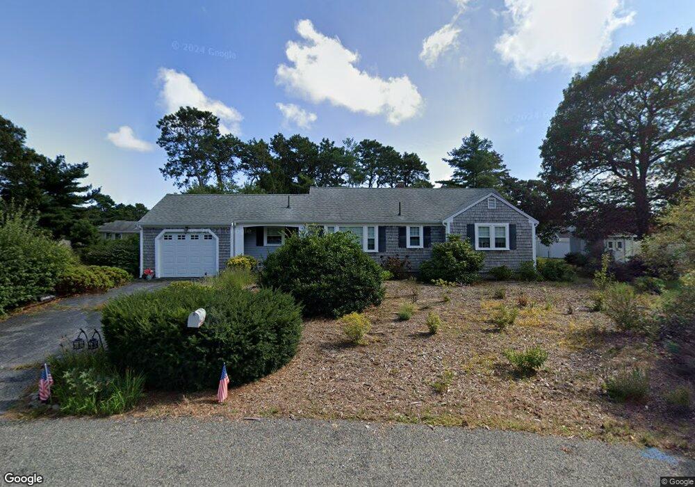
32 Woodside Park West Dennis, MA 02670
West Dennis NeighborhoodEstimated Value: $568,000 - $722,000
2
Beds
1
Bath
1,001
Sq Ft
$630/Sq Ft
Est. Value
About This Home
This home is located at 32 Woodside Park, West Dennis, MA 02670 and is currently estimated at $630,900, approximately $630 per square foot. 32 Woodside Park is a home located in Barnstable County with nearby schools including Dennis-Yarmouth Regional High School and St. Pius X. School.
Ownership History
Date
Name
Owned For
Owner Type
Purchase Details
Closed on
Jul 25, 1997
Sold by
Healy Ft and Hassey Katherine A
Bought by
Madeux Maureen
Current Estimated Value
Home Financials for this Owner
Home Financials are based on the most recent Mortgage that was taken out on this home.
Original Mortgage
$57,000
Outstanding Balance
$8,664
Interest Rate
7.7%
Mortgage Type
Purchase Money Mortgage
Estimated Equity
$622,236
Create a Home Valuation Report for This Property
The Home Valuation Report is an in-depth analysis detailing your home's value as well as a comparison with similar homes in the area
Home Values in the Area
Average Home Value in this Area
Purchase History
| Date | Buyer | Sale Price | Title Company |
|---|---|---|---|
| Madeux Maureen | $114,000 | -- |
Source: Public Records
Mortgage History
| Date | Status | Borrower | Loan Amount |
|---|---|---|---|
| Open | Madeux Maureen | $57,000 |
Source: Public Records
Tax History Compared to Growth
Tax History
| Year | Tax Paid | Tax Assessment Tax Assessment Total Assessment is a certain percentage of the fair market value that is determined by local assessors to be the total taxable value of land and additions on the property. | Land | Improvement |
|---|---|---|---|---|
| 2025 | $2,551 | $589,200 | $235,300 | $353,900 |
| 2024 | $2,411 | $549,100 | $226,200 | $322,900 |
| 2023 | $2,331 | $499,200 | $205,700 | $293,500 |
| 2022 | $2,116 | $377,800 | $160,600 | $217,200 |
| 2021 | $2,031 | $336,800 | $157,400 | $179,400 |
| 2020 | $2,027 | $332,300 | $169,500 | $162,800 |
| 2019 | $1,955 | $316,800 | $178,100 | $138,700 |
| 2018 | $9,653 | $284,500 | $158,200 | $126,300 |
| 2017 | $1,725 | $280,500 | $158,200 | $122,300 |
| 2016 | $1,765 | $270,300 | $163,900 | $106,400 |
| 2015 | $1,730 | $270,300 | $163,900 | $106,400 |
| 2014 | $1,716 | $270,300 | $163,900 | $106,400 |
Source: Public Records
Map
Nearby Homes
- 15 Woodside Park Rd
- 12 Spoonbill Rd
- 26 Center St
- 3 Pinefield Ln
- 61 Trotters Ln
- 95 Center St
- 71 Main St
- 80 Michaels Ave
- 19 Standish Way
- 467 Main St
- 4 Coffey Ln
- 125 Main St Unit 3
- 401 Main St Unit 201
- 401 Main St Unit 101
- 22 Wixon Rd
- 31 Easy St
- 72 Bassett Ln
- 268 Main St
- 23 Doric Ave
- 37 Ocean Dr Unit 2
- 36 Woodside Park
- 36 Woodside Park Rd
- 28 Woodside Park
- 59 Princeton Cir
- 55 Princeton Cir
- 21 Woodside Park Rd
- 21 Woodside Park
- 63 Princeton Cir
- 6 Arrowhead Dr
- 268 Trotting Park Rd
- 27 Dartmouth Rd
- 24 Woodside Park Rd
- 24 Woodside Park
- 274 Trotting Park Rd
- 8 Arrowhead Dr
- 48 Princeton Cir
- 39 Dartmouth Rd
- 15 Woodside Park
- 20 Woodside Park
- 21 Dartmouth Rd