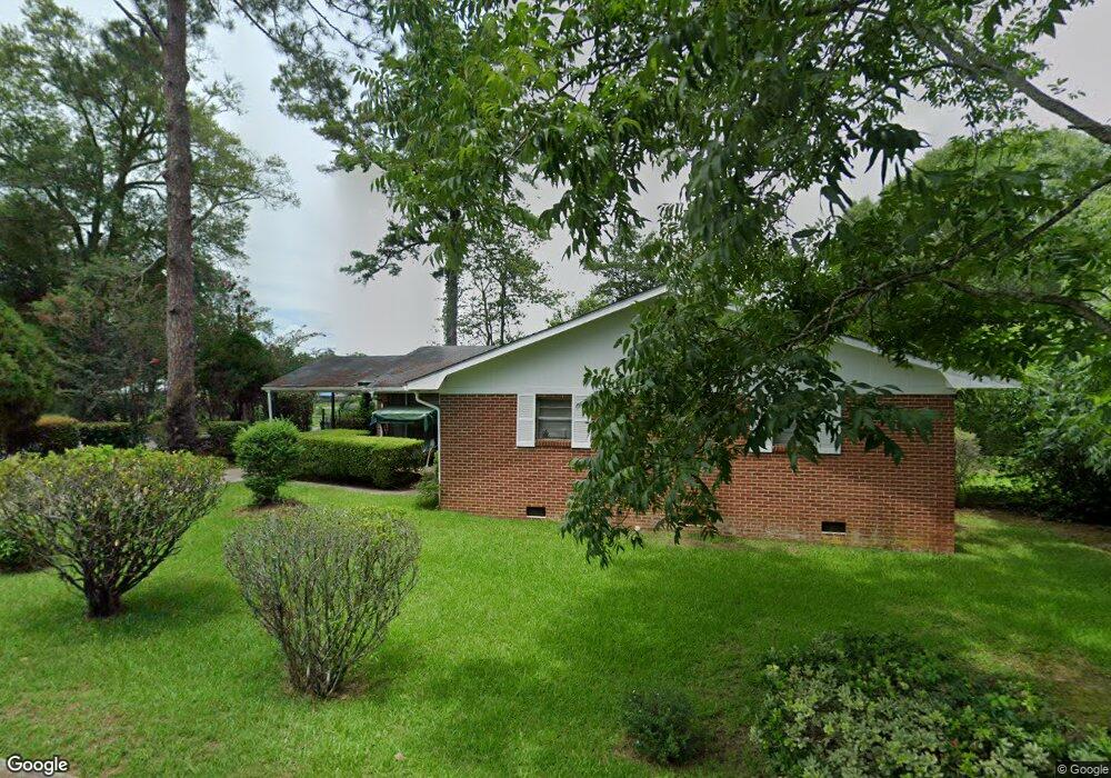
320 10th Ave NW Moultrie, GA 31768
Estimated Value: $67,000 - $98,000
--
Bed
2
Baths
1,635
Sq Ft
$49/Sq Ft
Est. Value
About This Home
This home is located at 320 10th Ave NW, Moultrie, GA 31768 and is currently estimated at $79,367, approximately $48 per square foot. 320 10th Ave NW is a home located in Colquitt County with nearby schools including C.A. Gray Junior High School, Willie J. Williams Middle School, and Colquitt County High School.
Ownership History
Date
Name
Owned For
Owner Type
Purchase Details
Closed on
Jan 5, 2024
Sold by
Holton Nathaniel S
Bought by
Hlg South Llc
Current Estimated Value
Purchase Details
Closed on
Aug 10, 1998
Bought by
Holton Nathaniel S
Purchase Details
Closed on
Jan 21, 1998
Bought by
Mchenry Frankie P
Purchase Details
Closed on
May 17, 1990
Bought by
Mchenry Fannie S Est
Create a Home Valuation Report for This Property
The Home Valuation Report is an in-depth analysis detailing your home's value as well as a comparison with similar homes in the area
Home Values in the Area
Average Home Value in this Area
Purchase History
| Date | Buyer | Sale Price | Title Company |
|---|---|---|---|
| Hlg South Llc | -- | -- | |
| Holton Nathaniel S | $46,000 | -- | |
| Mchenry Frankie P | -- | -- | |
| Mchenry Fannie S Est | -- | -- |
Source: Public Records
Tax History Compared to Growth
Tax History
| Year | Tax Paid | Tax Assessment Tax Assessment Total Assessment is a certain percentage of the fair market value that is determined by local assessors to be the total taxable value of land and additions on the property. | Land | Improvement |
|---|---|---|---|---|
| 2024 | $808 | $19,496 | $1,710 | $17,786 |
| 2023 | $450 | $22,284 | $1,710 | $20,574 |
| 2022 | $569 | $21,588 | $1,710 | $19,878 |
| 2021 | $501 | $19,410 | $1,710 | $17,700 |
| 2020 | $508 | $19,410 | $1,710 | $17,700 |
| 2019 | $576 | $19,410 | $1,710 | $17,700 |
| 2018 | $775 | $19,410 | $1,710 | $17,700 |
| 2017 | $570 | $19,410 | $1,710 | $17,700 |
| 2016 | $605 | $19,410 | $1,710 | $17,700 |
| 2015 | $606 | $19,410 | $1,710 | $17,700 |
| 2014 | $620 | $19,410 | $1,710 | $17,700 |
| 2013 | -- | $19,410 | $1,710 | $17,700 |
Source: Public Records
Map
Nearby Homes
- 1208 Maple St
- 615 1st St NW
- 316 5th Ave NW
- 521 5th Ave NW
- 503 2nd St NW
- 722 Martin Luther King jr Dr
- 417 9th St NW
- 408 9th St NW
- 614 2nd Ave NW
- 610 1st Ave NW
- 310 1st Ave SW
- 0 S U Highway 319 N
- 00 1st Ave SW
- 410 W Bypass Pass NW
- 118 5th St SW
- 410 West Bypass NW
- 618 2nd Ave SW
- 221 6th St SW
- 1321 Hallmark Dr
- 407 1st Ave SE
- 912 4th St NW
- 1003 3rd St NW
- 1001 4th St NW
- 307 10th Ave NW
- 301 Northside Dr
- 407 11th Ct NW
- 913 4th St NW
- 921 3rd St NW
- 409 Northside Dr
- 904 4th St NW
- 909 4th St NW
- 905 3rd St NW
- 1000 3rd St NW
- 413 Northside Dr
- 918 5th St NW
- 402 9th Ave NW
- 901 3rd St NW
- 133 Old Doerun Rd
- 908 3rd St NW
- 504 10th Ave NW